How to get to Churrería by bus?
Click on the bus route to see step by step directions with maps, line arrival times and updated time schedules.
From Templo de San Benito Abad, Aguascalientes
60 minFrom Paso Blanco, Aguascalientes
53 minFrom Fracc. Colinas del Sol, Aguascalientes
50 minFrom Fracc. Trojes de Oriente, Aguascalientes
45 minFrom Mundo A, Aguascalientes
38 minFrom Calle Josefa Ortiz De Dominguez, Aguascalientes
35 minFrom Rancho Santa Monica, Aguascalientes
63 minFrom Fracc Rinconada Jesús María, Aguascalientes
70 minFrom Lomas del Chapulín, Aguascalientes
29 minFrom Calle Francisco Javier Mina, Aguascalientes
29 min
Bus stops near Churrería in Aguascalientes
Bus lines to Churrería in Aguascalientes
What are the closest stations to Churrería?
The closest stations to Churrería are:
- Paula De Jesus Jimenez Yáñez, 618 is 272 meters away, 4 min walk.
- Avenida Siglo Xxi, 4014 is 364 meters away, 5 min walk.
- Bulevar Guadalupano, 1103 is 461 meters away, 6 min walk.
- Bulevar Guadalupano, 1808 is 514 meters away, 7 min walk.
- Avenida Siglo Xxi, Lb is 554 meters away, 8 min walk.
- Avenida Rodolfo Landeros Gallegos, 626 is 587 meters away, 8 min walk.
Which bus lines stop near Churrería?
These bus lines stop near Churrería: RUTA 23, RUTA 37, RUTA 42, RUTA 50.
What’s the nearest bus station to Churrería in Aguascalientes?
The nearest bus station to Churrería in Aguascalientes is Paula De Jesus Jimenez Yáñez, 618. It’s a 4 min walk away.
What time is the first bus to Churrería in Aguascalientes?
The RUTA 42 is the first bus that goes to Churrería in Aguascalientes. It stops nearby at 5:57 AM.
What time is the last bus to Churrería in Aguascalientes?
The RUTA 50 is the last bus that goes to Churrería in Aguascalientes. It stops nearby at 10:29 PM.
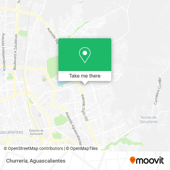
See Churrería, Aguascalientes, on the map
Public Transit to Churrería in Aguascalientes
Wondering how to get to Churrería in Aguascalientes? Moovit helps you find the best way to get to Churrería with step-by-step directions from the nearest public transit station.
Moovit provides free maps and live directions to help you navigate through your city. View schedules, routes, timetables, and find out how long does it take to get to Churrería in real time.
Looking for the nearest stop or station to Churrería? Check out this list of stops closest to your destination: Paula De Jesus Jimenez Yáñez; Avenida Siglo Xxi; Bulevar Guadalupano; Bulevar Guadalupano; Avenida Siglo Xxi; Avenida Rodolfo Landeros Gallegos.
Bus: RUTA 23, RUTA 37, RUTA 42, RUTA 50, RUTA 09, RUTA 45, RUTA 09, RUTA 16.
Want to see if there’s another route that gets you there at an earlier time? Moovit helps you find alternative routes or times. Get directions from and directions to Churrería easily from the Moovit App or Website.
We make riding to Churrería easy, which is why over 1.5 million users, including users in Aguascalientes, trust Moovit as the best app for public transit. You don’t need to download an individual bus app or train app, Moovit is your all-in-one transit app that helps you find the best bus time or train time available.
For information on prices of bus, costs and ride fares to Churrería, please check the Moovit app.
Use the app to navigate to popular places including to the airport, hospital, stadium, grocery store, mall, coffee shop, school, college, and university.
Churrería Address: Churrería, Calle Sierra Ixtlán, Fraccionamiento Ejido Las Cumbres, 20175 Aguascalientes, Aguascalie street in Aguascalientes
- Tienda de Abarrotes con Venta de Tacos y Hamburguesas,
- Parque Industrial del Valle de Aguascalientes - Piva,
- Comercio al por Menor en Tiendas de Abarrotes, ultramarinos y Miscelaneas,
- Venta de Tuppers,
- Cooperativa Cuauhtemoc,
- Gorditas,
- Tiendita de Dulces,
- Helados Daysi,
- Muebles,
- Gorditas Doña Coco,
- Carnicería La Fe,
- Menudos El Torito,
- Beffa Kids,
- Servicios Integrales Carrillo Ags,
- Papeleria Richard,
- Paula de Jesus Jimenez Yáñez & General Lázaro Cárdenas,
- Paso del Estudiante,
- Parque Rodolfo Landeros,
- Grupo Enciende una Luz Aguascalientes Cuarto y Quinto Paso,
- Abarrotes Diana
Places Near Churrería (Aguascalientes)
- La Isla San Marcos, Aguascalientes,
- Centro Comercial Altaria, Aguascalientes,
- Villasuncion, Aguascalientes,
- ESPACIOS, Aguascalientes,
- clinica 3 uaa, Aguascalientes,
- Nuevo Hospital Hidalgo, Aguascalientes,
- Ciudad industrial, Aguascalientes,
- Agropecuario, Aguascalientes,
- Terminal De Combis, Aguascalientes,
- Imss Clinica 1, Aguascalientes,
- Villas de Nuestra Señora de la Asunción, Aguascalientes,
- Aeropuerto de Aguascalientes S.A. de C.V., Aguascalientes,
- Hospital Imss No. 3, Aguascalientes,
- Isla San Marcos, Aguascalientes,
- Blvd. Luis Donaldo Colosio, Aguascalientes,
- Centro, Aguascalientes,
- Jesús María, Aguascalientes,
- Central De Autobuses, Aguascalientes,
- Universidad Autónoma de Aguascalientes, Aguascalientes,
- Parque Las Tres Centurias, Aguascalientes
How to get to popular places in Aguascalientes with public transit
Get around Aguascalientes by public transit!
Traveling around Aguascalientes has never been so easy. See step by step directions as you travel to any attraction, street or major public transit station. View bus and train schedules, arrival times, service alerts and detailed routes on a map, so you know exactly how to get to anywhere in Aguascalientes.
When traveling to any destination around Aguascalientes use Moovit's Live Directions with Get Off Notifications to know exactly where and how far to walk, how long to wait for your line, and how many stops are left. Moovit will alert you when it's time to get off — no need to constantly re-check whether yours is the next stop.
Wondering how to use public transit in Aguascalientes or how to pay for public transit in Aguascalientes? Moovit public transit app can help you navigate your way with public transit easily, and at minimum cost. It includes public transit fees, ticket prices, and costs. Looking for a map of Aguascalientes public transit lines? Moovit public transit app shows all public transit maps in Aguascalientes with all bus routes and stops on an interactive map.
Aguascalientes has 1 transit type(s), including: bus, operated by several transit agencies, including Coordinación General de Movilidad