How to get to Chuzami Fast Food by bus?
Click on the bus route to see step by step directions with maps, line arrival times and updated time schedules.
From Ponce de Leon, Coral Gables, Miami
66 minFrom Lejeune Road, Miami
72 minFrom Consulado General de Colombia, Miami
75 minFrom En La Playa, Miami Beach
49 minFrom Miami Dade College Wolfson Campus, Miami
35 minFrom Miracle Mile & Downtown Coral Gables, Miami
66 minFrom Opa-Locka Hialeah Flea Market, Miami
77 minFrom NW 7th St / NW 57th Ave, Miami
76 minFrom Lincoln Road Mall, Miami Beach
57 minFrom Seybold Building, Miami
37 min
How to get to Chuzami Fast Food by train?
Click on the train route to see step by step directions with maps, line arrival times and updated time schedules.
Bus stops near Chuzami Fast Food in Miami
Train station near Chuzami Fast Food in Miami
- Allapattah Station, 37 min walk,VIEW
Bus lines to Chuzami Fast Food in Miami
What are the closest stations to Chuzami Fast Food?
The closest stations to Chuzami Fast Food are:
- Nw 54 St & Nw 3 Av is 21 yards away, 1 min walk.
- Nw 54 St & Nw 2 Av is 278 yards away, 4 min walk.
- Nw 2 Av @ Nw 54 St is 325 yards away, 5 min walk.
- Allapattah Station is 3040 yards away, 37 min walk.
Which bus lines stop near Chuzami Fast Food?
These bus lines stop near Chuzami Fast Food: 2, 54, 77.
Which train lines stop near Chuzami Fast Food?
These train lines stop near Chuzami Fast Food: GREEN, ORANGE.
What’s the nearest bus station to Chuzami Fast Food in Miami?
The nearest bus station to Chuzami Fast Food in Miami is Nw 54 St & Nw 3 Av. It’s a 1 min walk away.
What time is the first train to Chuzami Fast Food in Miami?
The ORANGE is the first train that goes to Chuzami Fast Food in Miami. It stops nearby at 5:08 AM.
What time is the last train to Chuzami Fast Food in Miami?
The GREEN is the last train that goes to Chuzami Fast Food in Miami. It stops nearby at 12:44 AM.
What time is the first bus to Chuzami Fast Food in Miami?
The 54 is the first bus that goes to Chuzami Fast Food in Miami. It stops nearby at 5:06 AM.
What time is the last bus to Chuzami Fast Food in Miami?
The 54 is the last bus that goes to Chuzami Fast Food in Miami. It stops nearby at 12:37 AM.
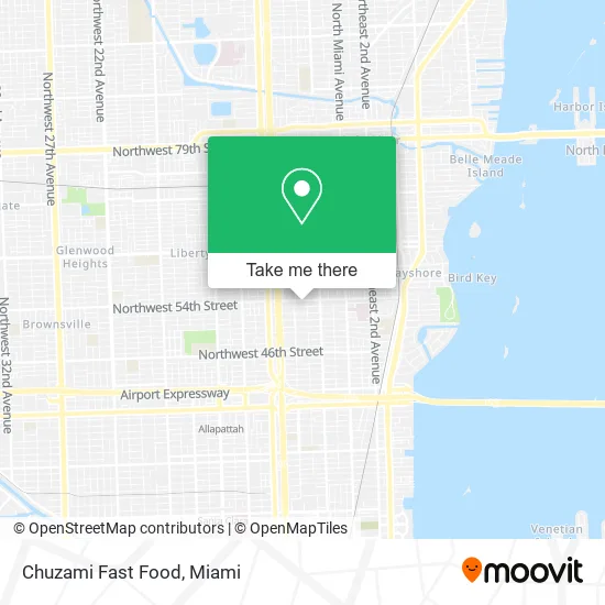
See Chuzami Fast Food, Miami, on the map
Public Transit to Chuzami Fast Food in Miami
Wondering how to get to Chuzami Fast Food in Miami? Moovit helps you find the best way to get to Chuzami Fast Food with step-by-step directions from the nearest public transit station.
Moovit provides free maps and live directions to help you navigate through your city. View schedules, routes, timetables, and find out how long does it take to get to Chuzami Fast Food in real time.
Looking for the nearest stop or station to Chuzami Fast Food? Check out this list of stops closest to your destination: Nw 54 St & Nw 3 Av; Nw 54 St & Nw 2 Av; Nw 2 Av @ Nw 54 St; Allapattah Station.
Bus: 2, 54, 77, MIAHAIT.Train: GREEN, ORANGE.
Want to see if there’s another route that gets you there at an earlier time? Moovit helps you find alternative routes or times. Get directions from and directions to Chuzami Fast Food easily from the Moovit App or Website.
We make riding to Chuzami Fast Food easy, which is why over 1.5 million users, including users in Miami, trust Moovit as the best app for public transit. You don’t need to download an individual bus app or train app, Moovit is your all-in-one transit app that helps you find the best bus time or train time available.
For information on prices of bus and train, costs and ride fares to Chuzami Fast Food, please check the Moovit app.
Use the app to navigate to popular places including to the airport, hospital, stadium, grocery store, mall, coffee shop, school, college, and university.
Chuzami Fast Food Address: 350 NW 54th St Miami, FL 33127 street in Miami
- Igrill,
- Donde Jhan'k,
- Sea Lover,
- Mr Boneless,
- Wili Wings,
- My Taco Mania,
- Medical Center,
- Stellarcuts,
- Concierge Cuts,
- Data for Black Lives,
- Inkub8,
- EZ Fabrics and Trimming,
- Streets of Miami,
- Harmony Studio Miami,
- Yeelen X,
- El Disco Volador the Flying Saucer,
- Luis Garcia,
- Purple People Eatery,
- NYC Hot Dogs,
- Nfuse
Places Near Chuzami Fast Food (Miami)
- Marlins Park, Miami,
- Port of Miami Cruise Terminal, Miami,
- Brickell City Centre, Miami,
- Aventura Mall, Miami Beach,
- Sawgrass mall ( FL ), Miami Beach,
- Keiser University Flagship Campus, West Palm Beach,
- Little Havana, Miami,
- Zoo Miami, Miami,
- Sawgrass Mall, Miami,
- Bayside Marketplace, Miami,
- Hard Rock Stadium, Miami Gardens,
- Wynwood, Miami,
- Richard E. Gerstein Justice Building, Miami,
- Miami VA Hospital, Miami,
- Aventura Mall, Miami,
- Dolphin Mall, Miami,
- Miami Freedom Park, Miami,
- Dolphin Mall Bus, Miami,
- Miami Design District, Miami,
- Miami-Dade County Courthouse, Miami
How to get to popular places in Miami with public transit
Get around Miami by public transit!
Traveling around Miami has never been so easy. See step by step directions as you travel to any attraction, street or major public transit station. View bus and train schedules, arrival times, service alerts and detailed routes on a map, so you know exactly how to get to anywhere in Miami.
When traveling to any destination around Miami use Moovit's Live Directions with Get Off Notifications to know exactly where and how far to walk, how long to wait for your line, and how many stops are left. Moovit will alert you when it's time to get off — no need to constantly re-check whether yours is the next stop.
Wondering how to use public transit in Miami or how to pay for public transit in Miami? Moovit public transit app can help you navigate your way with public transit easily, and at minimum cost. It includes public transit fees, ticket prices, and costs. Looking for a map of Miami public transit lines? Moovit public transit app shows all public transit maps in Miami with all Bus, Train, Light Rail and Ferry routes and stops on an interactive map.
Miami has 4 transit type(s), including: Bus, Train, Light Rail and Ferry, operated by several transit agencies, including Broward County Transit, Miami-Dade Transit, Metrorail, Palm Tran, Tri-Rail, Brightline, MARTY, City of Homestead Trolley, Key West Transit, Treasure Coast Connector, GoLine IRT, Amtrak, Greyhound-us, FlixBus-us and Aventura Express Shuttle Bus