Cianlea stop - Monday schedule
| Line | Direction | Time |
|---|---|---|
| 41 | Abbey St | 3:02 AM |
| 41 | Abbey St | 3:33 AM |
| 41 | Abbey St | 4:03 AM |
| 41 | Abbey St | 4:33 AM |
| 41 | Abbey St | 5:03 AM |
| 41 | Abbey St | 5:34 AM |
| 507 | Eden Quay | 6:02 AM |
| 41 | Abbey St | 6:04 AM |
| 500 | Eden Quay | 6:17 AM |
| 41 | Abbey St | 6:19 AM |
| 41 | Abbey St | 6:29 AM |
| 41C | Abbey St | 6:33 AM |
| 41 | Abbey St | 6:39 AM |
| 41C | Abbey St | 6:48 AM |
| 500X | Eden Quay | 6:52 AM |
| 500X | Eden Quay | 6:54 AM |
| 41 | Abbey St | 6:59 AM |
| 500 | Eden Quay | 7:02 AM |
| 41 | Abbey St | 7:04 AM |
| 196 | Swords Village | 7:05 AM |
| 41C | Abbey St | 7:08 AM |
| 41 | Abbey St | 7:14 AM |
| 41C | Abbey St | 7:18 AM |
| 41X | Ucd | 7:20 AM |
| 500X | Eden Quay | 7:22 AM |
Directions to Cianlea stop (Swords-Glasmore) with public transit
The following transit lines have routes that pass near Cianlea
 Bus: 41, 41C, 41X, 196, 500.
How to get to Cianlea stop by bus?
Click on the bus route to see step by step directions with maps, line arrival times and updated time schedules.
Bus stops near Cianlea stop in Swords-Glasmore
- Cianlea, 1 min walk,
- Ardcian Park, 3 min walk,
- Daleview Road, 3 min walk,
Bus lines to Cianlea stop in Swords-Glasmore
- 41, Abbey St,
- 41C, Swords Manor,
- 41X, Swords Manor,
- 196, Swords Village,
- 500, Eden Quay,
- 500N, Ormond Avenue,
- 500X, Ormond Avenue,
- 501, Ormond Avenue,
- 503, Ormond Avenue,
- 506, Ormond Avenue,
- 505, Eden Quay,
- 507, Eden Quay,
- 41B, Abbey St,
- 192, Balbriggan Station,
- 197, Airside,
What are the closest stations to Cianlea?
The closest stations to Cianlea are:
- Cianlea stop is 15 meters away, 1 min walk.
- Ardcian Park stop is 199 meters away, 3 min walk.
- Daleview Road stop is 206 meters away, 3 min walk.
Which bus lines stop near Cianlea?
These bus lines stop near Cianlea: 41, 41C.
What’s the nearest bus station to Cianlea in Swords-Glasmore?
The nearest bus station to Cianlea in Swords-Glasmore is Cianlea. It’s a 1 min walk away.
What time is the first bus to Cianlea in Swords-Glasmore?
The 41 is the first bus that goes to Cianlea in Swords-Glasmore. It stops nearby at 3:01 AM.
What time is the last bus to Cianlea in Swords-Glasmore?
The 41 is the last bus that goes to Cianlea in Swords-Glasmore. It stops nearby at 3:12 AM.
Cianlea station
 Taken by Anonymous
See Cianlea stop, Swords-Glasmore, on the map
Public transit to Cianlea stop (ID: 4909) in Swords-Glasmore
Looking for directions to Cianlea in Swords-Glasmore, Ireland?
Download the Moovit App to find the current schedule and step-by-step directions for Bus routes that pass through Cianlea.
Looking for the nearest stops closest to Cianlea ? Check out this list of closest stops to your destination: Cianlea; Ardcian Park; Daleview Road.
Bus: 41, 41C, 41X, 196, 500, 505, 507, 41B, 192, 197.
We make riding on public transit to Cianlea easy, which is why over 1.7 billion users, including users in Swords-Glasmore trust Moovit as the best app for public transit.
Use the app to navigate to popular places including to the airport, hospital, stadium, grocery store, mall, coffee shop, school, college, and university.
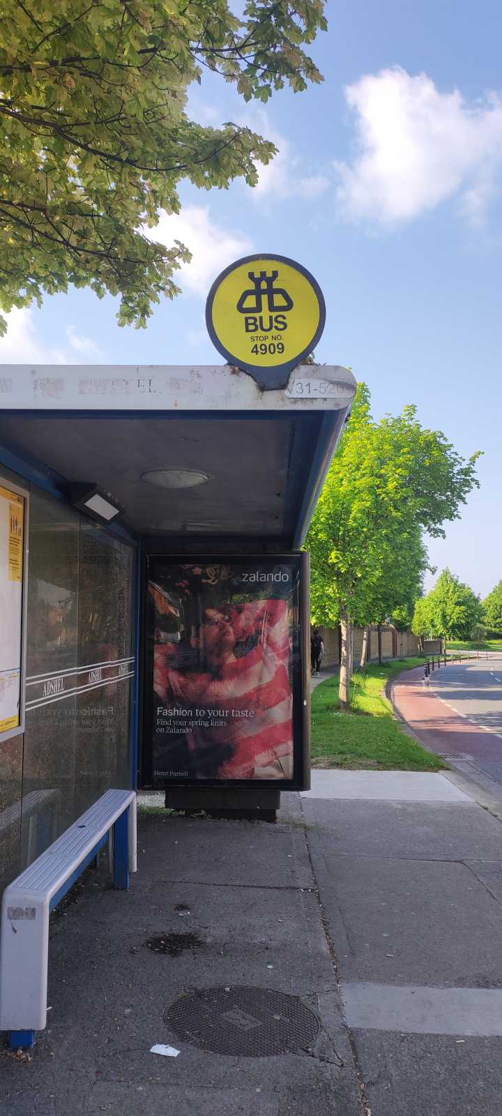
Cianlea stop’s code is 4909
The first line to this stop is 41, at 3:02 AM, and the last line is 41 at 2:32 AM.
This stop serves TFI Local Link Louth Meath Fingal, Swords Express and Bus Átha Cliath – Dublin Bus’s lines
- Cianlea,
- Ardcian Park,
- Daleview Road
Bus stops near Cianlea stop
- Kilkenny, Castlecomer Road,
- Cross Avenue,
- Arundel Square,
- Finglas North,
- Fermoy,
- Eastham Road,
- Malahide Com School,
- Saggart Cross,
- Fortfield Gr,
- Shannon Airport,
- Waterford Bus Station,
- St Peter's School,
- Grace Park Ct,
- Ucc Western Gateway,
- Rathdown Park,
- Bower School,
- Bloomfield,
- Tonlegee Road,
- Monasterboice Rd,
- Glenaulin
Popular public transit stations in Swords-Glasmore
Get around Swords-Glasmore by public transit!
Traveling around Swords-Glasmore has never been so easy. See step by step directions as you travel to any attraction, street or major public transit station. View bus and train schedules, arrival times, service alerts and detailed routes on a map, so you know exactly how to get to anywhere in Swords-Glasmore.
When traveling to any destination around Swords-Glasmore use Moovit's Live Directions with Get Off Notifications to know exactly where and how far to walk, how long to wait for your line, and how many stops are left. Moovit will alert you when it's time to get off — no need to constantly re-check whether yours is the next stop.
Wondering how to use public transit in Swords-Glasmore or how to pay for public transit in Swords-Glasmore? Moovit public transit app can help you navigate your way with public transit easily, and at minimum cost. It includes public transit fees, ticket prices, and costs. Looking for a map of Swords-Glasmore public transit lines? Moovit public transit app shows all public transit maps in Swords-Glasmore with all Bus, Train and Light Rail routes and stops on an interactive map.
Ireland has 3 transit type(s), including: Bus, Train and Light Rail, operated by several transit agencies, including Luas, Bus Átha Cliath – Dublin Bus, Bus Éireann, Go-Ahead Ireland, Nitelink, Dublin Bus, Citylink, City Direct, Kenneally's Bus Service, Aircoach, TFI Local Link Mayo, Irish Rail, Express Bus, JJ/Bernard Kavanagh, Dublin Coach and Kearns Transport