How to get to Cibus Chophouse by bus?
Click on the bus route to see step by step directions with maps, line arrival times and updated time schedules.
Bus stops near Cibus Chophouse in Hampton
What are the closest stations to Cibus Chophouse?
The closest stations to Cibus Chophouse are:
- Mallory & Howard is 257 yards away, 4 min walk.
- Martin Luther King Jr & Shelter is 1023 yards away, 13 min walk.
Which bus line stops near Cibus Chophouse?
961 (Dntc)
What’s the nearest bus station to Cibus Chophouse in Hampton?
The nearest bus station to Cibus Chophouse in Hampton is Mallory & Howard. It’s a 4 min walk away.
What time is the first bus to Cibus Chophouse in Hampton?
The 961 is the first bus that goes to Cibus Chophouse in Hampton. It stops nearby at 5:10 AM.
What time is the last bus to Cibus Chophouse in Hampton?
The 115 is the last bus that goes to Cibus Chophouse in Hampton. It stops nearby at 11:45 PM.
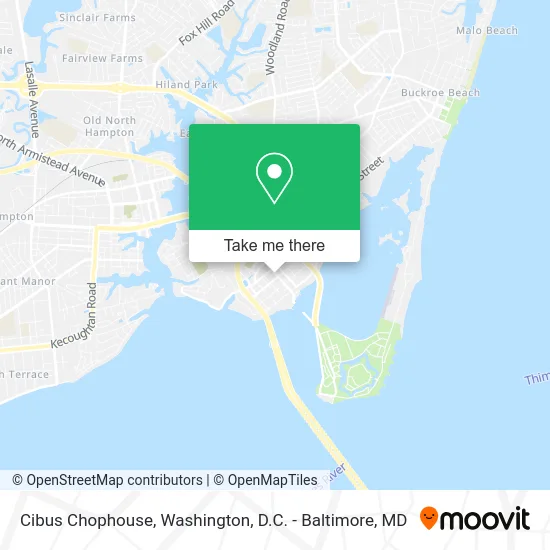
See Cibus Chophouse, Hampton, on the map
Public Transit to Cibus Chophouse in Hampton
Wondering how to get to Cibus Chophouse in Hampton? Moovit helps you find the best way to get to Cibus Chophouse with step-by-step directions from the nearest public transit station.
Moovit provides free maps and live directions to help you navigate through your city. View schedules, routes, timetables, and find out how long does it take to get to Cibus Chophouse in real time.
Looking for the nearest stop or station to Cibus Chophouse? Check out this list of stops closest to your destination: Mallory & Howard; Martin Luther King Jr & Shelter.
Bus: 961, 115.
Want to see if there’s another route that gets you there at an earlier time? Moovit helps you find alternative routes or times. Get directions from and directions to Cibus Chophouse easily from the Moovit App or Website.
We make riding to Cibus Chophouse easy, which is why over 1.5 million users, including users in Hampton, trust Moovit as the best app for public transit. You don’t need to download an individual bus app or train app, Moovit is your all-in-one transit app that helps you find the best bus time or train time available.
For information on prices of bus, costs and ride fares to Cibus Chophouse, please check the Moovit app.
Use the app to navigate to popular places including to the airport, hospital, stadium, grocery store, mall, coffee shop, school, college, and university.
Cibus Chophouse Address: 30 Mellen St E Hampton, VA 23663 street in Hampton
- Drexler's Wood Fired Grill,
- Way We Were Bookshop,
- Robert's Antiques,
- Simply Panache Place,
- Happy Hempo,
- Scratch Bakery,
- Cogno's Cafe,
- Fuller's Raw Bar,
- Doggie in the Window,
- Gtech Networks,
- Allure Beauty Salon,
- Phoebus Auction Gallery,
- Mellen Dental,
- Honkytonk Saturday Nights,
- Phoebus Dive Bar,
- Fhamortgage Info,
- Mortgage Shop,
- Reverse Mortgage Pro,
- The Grey Hare,
- Cibus
Places Near Cibus Chophouse (Hampton)
- Camden Yards, Baltimore,
- Museum Of The Bible, Washington,
- Rock Creek Tennis Center, Washington,
- PG Mall, Prince George's County,
- National Zoo, Washington,
- Westfield Montgomery Mall, Montgomery County,
- National Mall, Washington,
- National Museum of African American History and Culture, Washington,
- Basilica of the National Shrine, Washington,
- Pennsylvania Ave NW (3rd st and pennsylvania), Washington,
- Capital One Arena, Washington,
- Washington DC VA Medical Center, Washington,
- Amazon Hq2, Arlington County,
- Marriott Marquis Washington, DC, Washington,
- Washington National Cathedral, Washington,
- The Anthem, Washington,
- M&T Bank Stadium, Baltimore,
- Warner Theatre, Washington,
- Sibley Memorial Hospital, Washington,
- Georgetown, Washington
How to get to popular places in Washington, D.C. - Baltimore, MD with public transit
Get around Hampton by public transit!
Traveling around Hampton has never been so easy. See step by step directions as you travel to any attraction, street or major public transit station. View bus and train schedules, arrival times, service alerts and detailed routes on a map, so you know exactly how to get to anywhere in Hampton.
When traveling to any destination around Hampton use Moovit's Live Directions with Get Off Notifications to know exactly where and how far to walk, how long to wait for your line, and how many stops are left. Moovit will alert you when it's time to get off — no need to constantly re-check whether yours is the next stop.
Wondering how to use public transit in Hampton or how to pay for public transit in Hampton? Moovit public transit app can help you navigate your way with public transit easily, and at minimum cost. It includes public transit fees, ticket prices, and costs. Looking for a map of Hampton public transit lines? Moovit public transit app shows all public transit maps in Hampton with all Bus, Train, Metro, Light Rail and Ferry routes and stops on an interactive map.
Washington, D.C. - Baltimore, MD has 5 transit type(s), including: Bus, Train, Metro, Light Rail and Ferry, operated by several transit agencies, including WMATA, Montgomery County Ride On, Fairfax Connector, TheBus, PRTC, DASH - Alexandria, Arlington Transit (ART), RTA of Central Maryland, MDOT MTA, MDOT MTA Light RailLink, MDOT MTA Commuter Bus, MDOT MTA Local Bus, FXBGO!, Virginia Railway Express (VRE) and MARC