How to get to City of Lighthouse Point Library by bus?
Click on the bus route to see step by step directions with maps, line arrival times and updated time schedules.
From Amerant Bank, Fort Lauderdale
67 minFrom Cardinal Gibbons High School, Fort Lauderdale
46 minFrom Boca Regional Hospital, Boca Raton
72 minFrom Quebec-Florida Chamber of Commerce, Fort Lauderdale
70 minFrom Harrah's Pompano Beach, Pompano Beach
63 minFrom Holy Cross Hospital, Fort Lauderdale
40 minFrom Butterfly World, Pompano Beach
42 minFrom Northeast High School, Fort Lauderdale
71 minFrom North Area Transportation Terminal, Pompano Beach
55 minFrom Crystal River, Fort Lauderdale
48 min
Bus stop near City of Lighthouse Point Library in Deerfield Beach
- US 1 & Sample Road, 8 min walk,VIEW
Train station near City of Lighthouse Point Library in Deerfield Beach
- Pompano Beach Station, 62 min walk,VIEW
Bus lines to City of Lighthouse Point Library in Deerfield Beach
What are the closest stations to City of Lighthouse Point Library?
The closest stations to City of Lighthouse Point Library are:
- US 1 & Sample Road is 576 yards away, 8 min walk.
- Pompano Beach Station is 5306 yards away, 62 min walk.
Which bus lines stop near City of Lighthouse Point Library?
These bus lines stop near City of Lighthouse Point Library: 10, 34.
What’s the nearest bus station to City of Lighthouse Point Library in Deerfield Beach?
The nearest bus station to City of Lighthouse Point Library in Deerfield Beach is US 1 & Sample Road. It’s a 8 min walk away.
What time is the first train to City of Lighthouse Point Library in Deerfield Beach?
The TRIRAIL is the first train that goes to City of Lighthouse Point Library in Deerfield Beach. It stops nearby at 4:41 AM.
What time is the last train to City of Lighthouse Point Library in Deerfield Beach?
The TRIRAIL is the last train that goes to City of Lighthouse Point Library in Deerfield Beach. It stops nearby at 10:50 PM.
What time is the first bus to City of Lighthouse Point Library in Deerfield Beach?
The 10 is the first bus that goes to City of Lighthouse Point Library in Deerfield Beach. It stops nearby at 5:05 AM.
What time is the last bus to City of Lighthouse Point Library in Deerfield Beach?
The 10 is the last bus that goes to City of Lighthouse Point Library in Deerfield Beach. It stops nearby at 11:58 PM.
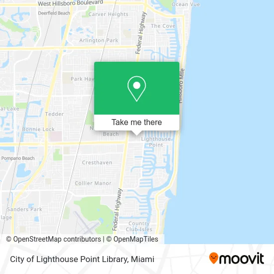
See City of Lighthouse Point Library, Deerfield Beach, on the map
Public Transit to City of Lighthouse Point Library in Deerfield Beach
Wondering how to get to City of Lighthouse Point Library in Deerfield Beach? Moovit helps you find the best way to get to City of Lighthouse Point Library with step-by-step directions from the nearest public transit station.
Moovit provides free maps and live directions to help you navigate through your city. View schedules, routes, timetables, and find out how long does it take to get to City of Lighthouse Point Library in real time.
Looking for the nearest stop or station to City of Lighthouse Point Library? Check out this list of stops closest to your destination: US 1 & Sample Road; Pompano Beach Station.
Bus: 10, 34.Train: TRIRAIL.
Want to see if there’s another route that gets you there at an earlier time? Moovit helps you find alternative routes or times. Get directions from and directions to City of Lighthouse Point Library easily from the Moovit App or Website.
We make riding to City of Lighthouse Point Library easy, which is why over 1.5 million users, including users in Deerfield Beach, trust Moovit as the best app for public transit. You don’t need to download an individual bus app or train app, Moovit is your all-in-one transit app that helps you find the best bus time or train time available.
For information on prices of bus and train, costs and ride fares to City of Lighthouse Point Library, please check the Moovit app.
Use the app to navigate to popular places including to the airport, hospital, stadium, grocery store, mall, coffee shop, school, college, and university.
City of Lighthouse Point Library Address: 2200 NE 38th St Lighthouse Point, FL 33064 street in Deerfield Beach
- ADT Security,
- Point City of Lighthouse,
- Lighthouse Point,
- Women in Distress Jim & Jan Moran Family Center,
- Haul of Fame Junk Removal,
- Nikki Reading,
- Clean Haven Services,
- Estate Law of Florida, P.A.,
- Dr. J's Ocean Medical Center,
- Mark Behar DDS Pa,
- Ekman Dental Lab,
- Carls Furniture & Design,
- Fisher Locks and Keys,
- Arc Building Condo Association,
- Lighthouse Point Sales Center,
- Affordable Implant & Dental Center,
- Haute and Honey,
- Daniel Galapo - Bond Luxury Properties,
- Cannoli Kitchen of Lighthouse Point,
- Stacks Insurance Brokerage
Places Near City of Lighthouse Point Library (Deerfield Beach)
- Marlins Park, Miami,
- Sawgrass mall ( FL ), Miami Beach,
- Zoo Miami, Miami,
- Aventura Mall, Miami,
- Brickell City Centre, Miami,
- Bayside Marketplace, Miami,
- Miami VA Hospital, Miami,
- Miami-Dade County Courthouse, Miami,
- Hard Rock Stadium, Miami Gardens,
- Little Havana, Miami,
- Miami Freedom Park, Miami,
- Port of Miami Cruise Terminal, Miami,
- Keiser University Flagship Campus, West Palm Beach,
- Miami Design District, Miami,
- Wynwood, Miami,
- Sawgrass Mall, Miami,
- Aventura Mall, Miami Beach,
- Dolphin Mall, Miami,
- Richard E. Gerstein Justice Building, Miami,
- Dolphin Mall Bus, Miami
How to get to popular places in Miami with public transit
Get around Deerfield Beach by public transit!
Traveling around Deerfield Beach has never been so easy. See step by step directions as you travel to any attraction, street or major public transit station. View bus and train schedules, arrival times, service alerts and detailed routes on a map, so you know exactly how to get to anywhere in Deerfield Beach.
When traveling to any destination around Deerfield Beach use Moovit's Live Directions with Get Off Notifications to know exactly where and how far to walk, how long to wait for your line, and how many stops are left. Moovit will alert you when it's time to get off — no need to constantly re-check whether yours is the next stop.
Wondering how to use public transit in Deerfield Beach or how to pay for public transit in Deerfield Beach? Moovit public transit app can help you navigate your way with public transit easily, and at minimum cost. It includes public transit fees, ticket prices, and costs. Looking for a map of Deerfield Beach public transit lines? Moovit public transit app shows all public transit maps in Deerfield Beach with all Bus, Train, Light Rail and Ferry routes and stops on an interactive map.
Miami has 4 transit type(s), including: Bus, Train, Light Rail and Ferry, operated by several transit agencies, including Broward County Transit, Miami-Dade Transit, Metrorail, Palm Tran, Tri-Rail, Brightline, MARTY, City of Homestead Trolley, Key West Transit, Treasure Coast Connector, GoLine IRT, Amtrak, Greyhound-us, FlixBus-us and Aventura Express Shuttle Bus