Clinton (Green/Pink) station - Thursday schedule
| Line | Direction | Time |
|---|---|---|
| UP-NW | Chicago OTC | 5:08 AM |
| UP-NW | Chicago OTC | 5:08 AM |
| UP-NW | Chicago OTC | 5:11 AM |
| UP-NW | Harvard/McHenry | 5:12 AM |
| UP-NW | Chicago OTC | 5:23 AM |
| UP-NW | Chicago OTC | 5:23 AM |
| UP-NW | Chicago OTC | 5:26 AM |
| UP-NW | Harvard/McHenry | 5:27 AM |
| UP-NW | Harvard/McHenry | 5:37 AM |
| UP-NW | Chicago OTC | 5:38 AM |
| UP-NW | Chicago OTC | 5:38 AM |
| UP-NW | Chicago OTC | 5:41 AM |
| UP-NW | Harvard/McHenry | 5:47 AM |
| UP-NW | Chicago OTC | 5:53 AM |
| UP-NW | Chicago OTC | 5:53 AM |
| UP-NW | Chicago OTC | 5:56 AM |
| UP-NW | Harvard/McHenry | 5:57 AM |
| UP-NW | Harvard/McHenry | 6:07 AM |
| UP-NW | Chicago OTC | 6:08 AM |
| UP-NW | Chicago OTC | 6:08 AM |
| UP-NW | Chicago OTC | 6:11 AM |
| UP-NW | Harvard/McHenry | 6:16 AM |
| UP-NW | Chicago OTC | 6:23 AM |
| UP-NW | Chicago OTC | 6:23 AM |
| UP-NW | Harvard/McHenry | 6:25 AM |
Directions to Clinton (Green/Pink) station (Chicago) with public transit
The following transit lines have routes that pass near Clinton (Green/Pink)
 Bus: 120, 124, 125, 157, 20.
- Train: BNSF, ME, UP-N, BLUE WATER, BOREALIS.
- Chicago 'L': GREEN LINE, PINK LINE, BROWN LINE, PURPLE LINE, ORANGE LINE.
How to get to Clinton (Green/Pink) station by bus?
Click on the bus route to see step by step directions with maps, line arrival times and updated time schedules.
How to get to Clinton (Green/Pink) station by train?
Click on the train route to see step by step directions with maps, line arrival times and updated time schedules.
How to get to Clinton (Green/Pink) station by Chicago 'L'?
Click on the Chicago 'L' route to see step by step directions with maps, line arrival times and updated time schedules.
Bus stops near Clinton (Green/Pink) stop in Chicago
- Jefferson & Lake (North), 1 min walk,
- Clinton & Washington (South), 4 min walk,
- Canal & Randolph/Washington (South), 4 min walk,
- Washington & Canal (East), 5 min walk,
- Jefferson & Washington (North), 5 min walk,
Train stations near Clinton (Green/Pink) station in Chicago
- Chicago Union Station, 4 min walk,
- Chicago Otc, 8 min walk,
Chicago 'L' stations near Clinton (Green/Pink) station in Chicago
- Merchandise Mart (Brown/Purple), 5 min walk,
- Washington/Wells, 6 min walk,
- Grand-Blue, 13 min walk,
Bus lines to Clinton (Green/Pink) station in Chicago
- 56, Jefferson Park Transit Center (Sw),
- 125, Mies Van Der Rohe & Pearson (North),
- 130, Clinton & Washington (South),
- 120, Mcclurg & Huron (North),
- J14, Jefferson & Washington (North),
- 20, Columbus & Randolph (South),
- 60, Washington & State (East),
- 124, Navy Pier Terminal (North),
- 157, Chestnut & Lake Shore Drive (East),
- 192, Cottage Grove & 57th Street (North),
What are the closest stations to Clinton (Green/Pink)?
The closest stations to Clinton (Green/Pink) are:
- Jefferson & Lake (North) stop is 82 yards away, 1 min walk.
- Clinton & Washington (South) stop is 220 yards away, 4 min walk.
- Canal & Randolph/Washington (South) stop is 220 yards away, 4 min walk.
- Washington & Canal (East) stop is 220 yards away, 5 min walk.
- Chicago Union Station is 268 yards away, 4 min walk.
- Merchandise Mart (Brown/Purple) station is 352 yards away, 5 min walk.
- Jefferson & Washington (North) stop is 413 yards away, 5 min walk.
- Washington/Wells station is 467 yards away, 6 min walk.
- Chicago Otc station is 618 yards away, 8 min walk.
- Grand-Blue station is 1061 yards away, 13 min walk.
Which bus lines stop near Clinton (Green/Pink)?
These bus lines stop near Clinton (Green/Pink): 120, 124, 125, 157, 20, 56, 60, 8.
Which train lines stop near Clinton (Green/Pink)?
These train lines stop near Clinton (Green/Pink): BNSF, ME, UP-N.
Which Chicago 'L' lines stop near Clinton (Green/Pink)?
These Chicago 'L' lines stop near Clinton (Green/Pink): GREEN LINE, PINK LINE.
What’s the nearest Chicago 'L' station to Clinton (Green/Pink) in Chicago?
The nearest Chicago 'L' station to Clinton (Green/Pink) in Chicago is Merchandise Mart (Brown/Purple). It’s a 5 min walk away.
What’s the nearest train station to Clinton (Green/Pink) in Chicago?
The nearest train station to Clinton (Green/Pink) in Chicago is Chicago Union Station. It’s a 4 min walk away.
What’s the nearest bus station to Clinton (Green/Pink) in Chicago?
The nearest bus station to Clinton (Green/Pink) in Chicago is Jefferson & Lake (North). It’s a 1 min walk away.
What time is the first Chicago 'L' to Clinton (Green/Pink) in Chicago?
The BLUE LINE is the first Chicago 'L' that goes to Clinton (Green/Pink) in Chicago. It stops nearby at 3:06 AM.
What time is the last Chicago 'L' to Clinton (Green/Pink) in Chicago?
The BLUE LINE is the last Chicago 'L' that goes to Clinton (Green/Pink) in Chicago. It stops nearby at 3:33 AM.
What time is the first train to Clinton (Green/Pink) in Chicago?
The UP-NW is the first train that goes to Clinton (Green/Pink) in Chicago. It stops nearby at 5:00 AM.
What time is the last train to Clinton (Green/Pink) in Chicago?
The TEXAS EAGLE is the last train that goes to Clinton (Green/Pink) in Chicago. It stops nearby at 1:49 PM.
What time is the first bus to Clinton (Green/Pink) in Chicago?
The 60 is the first bus that goes to Clinton (Green/Pink) in Chicago. It stops nearby at 3:00 AM.
What time is the last bus to Clinton (Green/Pink) in Chicago?
The 60 is the last bus that goes to Clinton (Green/Pink) in Chicago. It stops nearby at 3:32 AM.
Clinton (Green/Pink) station
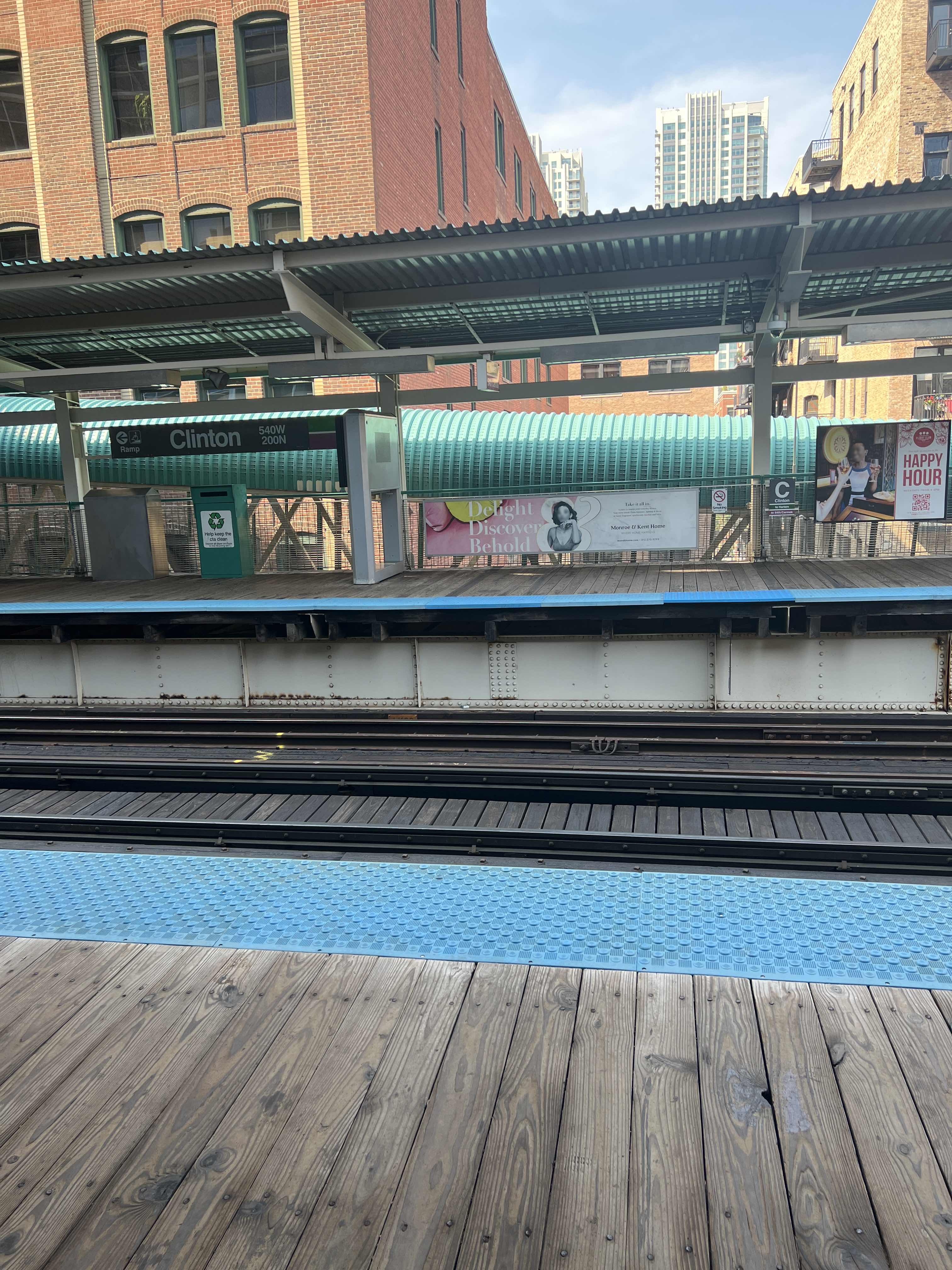 Taken by Anonymous
See Clinton (Green/Pink) station, Chicago, on the map
Public transit to Clinton (Green/Pink) station in Chicago
Looking for directions to Clinton (Green/Pink) in Chicago, United States?
Download the Moovit App to find the current schedule and step-by-step directions for Chicago 'L', Bus or Train routes that pass through Clinton (Green/Pink).
Looking for the nearest stops closest to Clinton (Green/Pink) ? Check out this list of closest stops to your destination: Jefferson & Lake (North); Clinton & Washington (South); Canal & Randolph/Washington (South); Washington & Canal (East); Chicago Union Station; Merchandise Mart (Brown/Purple); Jefferson & Washington (North); Washington/Wells; Chicago Otc; Grand-Blue.
Bus: 120, 124, 125, 157, 20, 56, 60, 8.Train: BNSF, ME, UP-N, BLUE WATER, BOREALIS, CALIFORNIA ZEPHYR, CARDINAL, CARL SANDBURG, UP-NW, UP-W.Chicago 'L': GREEN LINE, PINK LINE, BROWN LINE, PURPLE LINE, ORANGE LINE, BLUE LINE.
We make riding on public transit to Clinton (Green/Pink) easy, which is why over 1.7 billion users, including users in Chicago trust Moovit as the best app for public transit.
Use the app to navigate to popular places including to the airport, hospital, stadium, grocery store, mall, coffee shop, school, college, and university.
The station has the following entrances: N. Clinton St., N. Clinton St. and N. Clinton St.
The first line to this station is UP-NW, at 5:08 AM, and the last line is UP-NW at 4:57 AM.
540 West Lake Street, West Side, Chicago, IL, USA
This station serves Metra’s lines
Popular routes from Clinton (Green/Pink) station, Chicago
- Jefferson & Lake (North),
- Clinton & Washington (South),
- Canal & Randolph/Washington (South),
- Washington & Canal (East),
- Jefferson & Washington (North)
Bus stops near Clinton (Green/Pink) stop
- Chicago Union Station,
- Chicago Otc
Train stations near Clinton (Green/Pink) station
- Merchandise Mart (Brown/Purple),
- Washington/Wells,
- Grand-Blue
Chicago 'L' stations near Clinton (Green/Pink) station
- 95th / Western,
- Midway Regional Buses,
- 1540 W Algonquin Rd,
- Kedzie Ave & 175th St,
- Halsted / 145th (Harvey),
- Washington St & Mcaree Rd/Keller Ave,
- King Drive & 115th Street (North),
- 111th St & Cicero Ave,
- Glen Flora Ave & Jackson St,
- Lake Shore Drive & Barry (South),
- Ashland & Division (Blue Line) (South),
- Austin/Ogden,
- O'Hare Mmf Bay 9,
- Roosevelt & Damen (East),
- Ups Terminal 2,
- Washington St & 5th Ave,
- Cicero Ave & 92nd St,
- 35th Street & Indiana (West),
- Pulaski & 103rd Street (South),
- Halsted & 122nd Street
Popular public transit stations in Chicago
Get around Chicago by public transit!
Traveling around Chicago has never been so easy. See step by step directions as you travel to any attraction, street or major public transit station. View bus and train schedules, arrival times, service alerts and detailed routes on a map, so you know exactly how to get to anywhere in Chicago.
When traveling to any destination around Chicago use Moovit's Live Directions with Get Off Notifications to know exactly where and how far to walk, how long to wait for your line, and how many stops are left. Moovit will alert you when it's time to get off — no need to constantly re-check whether yours is the next stop.
Wondering how to use public transit in Chicago or how to pay for public transit in Chicago? Moovit public transit app can help you navigate your way with public transit easily, and at minimum cost. It includes public transit fees, ticket prices, and costs. Looking for a map of Chicago public transit lines? Moovit public transit app shows all public transit maps in Chicago with all Bus, Train and Chicago 'L' routes and stops on an interactive map.
Chicago has 3 transit type(s), including: Bus, Train and Chicago 'L', operated by several transit agencies, including CTA 'L', Metra, Northern Indiana Commuter Transportation District, CTA, PACE, O'Hare International Airport Shuttle Bus, Gary Public Transit, Amtrak, River Valley Metro, Valpo Transit, DeKalb Public Transit, FlixBus-us, Greyhound-us, Van Galder (Coach USA) and Wisconsin Coach Lines