How to get to Cococay by bus?
Click on the bus route to see step by step directions with maps, line arrival times and updated time schedules.
From SW 8th St / SW 12th Ave, Miami
62 minFrom Miami Orange Bowl, Miami
63 minFrom Marlins Park, Miami
62 minFrom NW 3rd Ave, Miami
41 minFrom Consulado Colombiano, Miami
40 minFrom NW 14th St / NW 7th Ave, Miami
44 minFrom Consulado Republica Dominicana, Miami
57 minFrom Miami Passport Agency, Miami
43 minFrom Pork & Beans, Miami
64 minFrom Consulado General De Nicaragua, Miami
58 min
Bus stops near Cococay in Miami Beach
Bus lines to Cococay in Miami Beach
What are the closest stations to Cococay?
The closest stations to Cococay are:
- Collins Av & 31 St is 25 yards away, 1 min walk.
- Miami Beach is 821 yards away, 11 min walk.
Which bus lines stop near Cococay?
These bus lines stop near Cococay: 100, 36.
What’s the nearest bus station to Cococay in Miami Beach?
The nearest bus station to Cococay in Miami Beach is Collins Av & 31 St. It’s a 1 min walk away.
What time is the first bus to Cococay in Miami Beach?
The 79 is the first bus that goes to Cococay in Miami Beach. It stops nearby at 3:15 AM.
What time is the last bus to Cococay in Miami Beach?
The FLIXBUS N2411 is the last bus that goes to Cococay in Miami Beach. It stops nearby at 6:15 AM.
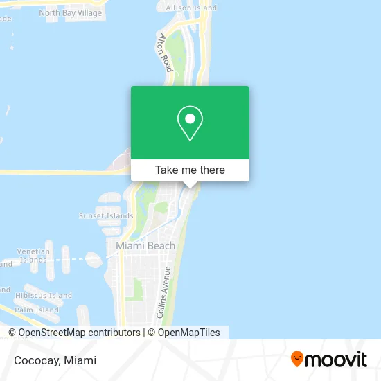
See Cococay, Miami Beach, on the map
Public Transit to Cococay in Miami Beach
Wondering how to get to Cococay in Miami Beach? Moovit helps you find the best way to get to Cococay with step-by-step directions from the nearest public transit station.
Moovit provides free maps and live directions to help you navigate through your city. View schedules, routes, timetables, and find out how long does it take to get to Cococay in real time.
Looking for the nearest stop or station to Cococay? Check out this list of stops closest to your destination: Collins Av & 31 St; Miami Beach.
Bus: 100, 36, 14, 79, 150, FLIXBUS N2411.
Want to see if there’s another route that gets you there at an earlier time? Moovit helps you find alternative routes or times. Get directions from and directions to Cococay easily from the Moovit App or Website.
We make riding to Cococay easy, which is why over 1.5 million users, including users in Miami Beach, trust Moovit as the best app for public transit. You don’t need to download an individual bus app or train app, Moovit is your all-in-one transit app that helps you find the best bus time or train time available.
For information on prices of bus and light rail, costs and ride fares to Cococay, please check the Moovit app.
Use the app to navigate to popular places including to the airport, hospital, stadium, grocery store, mall, coffee shop, school, college, and university.
Location: Miami Beach, Miami
- Hotel Riu Plaza (Riu Hotels),
- Generator Miami,
- Hotel Riu Plaza Miami Beach,
- Hotel Riu Plaza,
- The Palms Hotel Spa Miami Beach,
- The Palms Hotel & Spa,
- Riu Hotel Pool,
- Faena Hotel Miami Beach,
- Hilton Garden Inn Miami South Beach Miami Beach,
- RIU Hotels,
- Collins Avenue & 32nd Street,
- Ocean Spray Hotel,
- Indian Creek Drive & 31st Street,
- Collins Avenue & 29th Street,
- Seville Hotel Miami,
- Edition,
- Ac Hotel by Marriott Miami Beach,
- Alden Hotel Miami Beach,
- Maria Escoto, DDS,
- Baby-Sitter Nanny the Best
Places Near Cococay (Miami Beach)
- Miami Design District, Miami,
- Bayside Marketplace, Miami,
- Zoo Miami, Miami,
- Aventura Mall, Miami Beach,
- Aventura Mall, Miami,
- Dolphin Mall Bus, Miami,
- Miami Freedom Park, Miami,
- Keiser University Flagship Campus, West Palm Beach,
- Richard E. Gerstein Justice Building, Miami,
- Dolphin Mall, Miami,
- Wynwood, Miami,
- Miami VA Hospital, Miami,
- Miami-Dade County Courthouse, Miami,
- Port of Miami Cruise Terminal, Miami,
- Brickell City Centre, Miami,
- Little Havana, Miami,
- Sawgrass Mall, Miami,
- Marlins Park, Miami,
- Sawgrass mall ( FL ), Miami Beach,
- Hard Rock Stadium, Miami Gardens
How to get to popular places in Miami with public transit
Get around Miami Beach by public transit!
Traveling around Miami Beach has never been so easy. See step by step directions as you travel to any attraction, street or major public transit station. View bus and train schedules, arrival times, service alerts and detailed routes on a map, so you know exactly how to get to anywhere in Miami Beach.
When traveling to any destination around Miami Beach use Moovit's Live Directions with Get Off Notifications to know exactly where and how far to walk, how long to wait for your line, and how many stops are left. Moovit will alert you when it's time to get off — no need to constantly re-check whether yours is the next stop.
Wondering how to use public transit in Miami Beach or how to pay for public transit in Miami Beach? Moovit public transit app can help you navigate your way with public transit easily, and at minimum cost. It includes public transit fees, ticket prices, and costs. Looking for a map of Miami Beach public transit lines? Moovit public transit app shows all public transit maps in Miami Beach with all Bus, Train, Light Rail and Ferry routes and stops on an interactive map.
Miami has 4 transit type(s), including: Bus, Train, Light Rail and Ferry, operated by several transit agencies, including Broward County Transit, Miami-Dade Transit, Metrorail, Palm Tran, Tri-Rail, Brightline, MARTY, City of Homestead Trolley, Key West Transit, Treasure Coast Connector, GoLine IRT, Amtrak, Greyhound-us, FlixBus-us and Aventura Express Shuttle Bus