How to get to Coconut Grove Chamber of Commerce by bus?
Click on the bus route to see step by step directions with maps, line arrival times and updated time schedules.
From Miami Immigration Court, Miami
57 minFrom Institute of Contemporary Art, Miami
74 minFrom Port Canaveral, Miami
48 minFrom Fisher Island Ferry Terminal - Mainland, Miami Beach
78 minFrom Miami Design District, Miami
72 minFrom Goodwill, Miami
38 minFrom Miami Airport Metrorail Central Station, Miami
50 minFrom Silverspot Cinema, Miami
58 minFrom NW 54th St / SE Le Jeune Rd, Hialeah
59 minFrom Design District, Florida, Miami
72 min
How to get to Coconut Grove Chamber of Commerce by train?
Click on the train route to see step by step directions with maps, line arrival times and updated time schedules.
Bus stops near Coconut Grove Chamber of Commerce in Miami
Train station near Coconut Grove Chamber of Commerce in Miami
- Vizcaya, 22 min walk,VIEW
Bus lines to Coconut Grove Chamber of Commerce in Miami
What are the closest stations to Coconut Grove Chamber of Commerce?
The closest stations to Coconut Grove Chamber of Commerce are:
- Bird Av@virginia St is 199 yards away, 3 min walk.
- Sw 27 Av @ Trapp Av is 560 yards away, 7 min walk.
- Vizcaya is 1830 yards away, 22 min walk.
Which bus lines stop near Coconut Grove Chamber of Commerce?
These bus lines stop near Coconut Grove Chamber of Commerce: 22, 37, 42, MIABRK, MIACOCO.
Which train lines stop near Coconut Grove Chamber of Commerce?
These train lines stop near Coconut Grove Chamber of Commerce: GREEN, ORANGE.
What’s the nearest train station to Coconut Grove Chamber of Commerce in Miami?
The nearest train station to Coconut Grove Chamber of Commerce in Miami is Vizcaya. It’s a 22 min walk away.
What’s the nearest bus station to Coconut Grove Chamber of Commerce in Miami?
The nearest bus station to Coconut Grove Chamber of Commerce in Miami is Bird Av@virginia St. It’s a 3 min walk away.
What time is the first train to Coconut Grove Chamber of Commerce in Miami?
The GREEN is the first train that goes to Coconut Grove Chamber of Commerce in Miami. It stops nearby at 5:06 AM.
What time is the last train to Coconut Grove Chamber of Commerce in Miami?
The GREEN is the last train that goes to Coconut Grove Chamber of Commerce in Miami. It stops nearby at 12:58 AM.
What time is the first bus to Coconut Grove Chamber of Commerce in Miami?
The 22 is the first bus that goes to Coconut Grove Chamber of Commerce in Miami. It stops nearby at 5:02 AM.
What time is the last bus to Coconut Grove Chamber of Commerce in Miami?
The 22 is the last bus that goes to Coconut Grove Chamber of Commerce in Miami. It stops nearby at 12:11 AM.
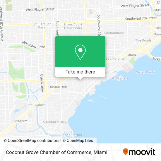
See Coconut Grove Chamber of Commerce, Miami, on the map
Public Transit to Coconut Grove Chamber of Commerce in Miami
Wondering how to get to Coconut Grove Chamber of Commerce in Miami? Moovit helps you find the best way to get to Coconut Grove Chamber of Commerce with step-by-step directions from the nearest public transit station.
Moovit provides free maps and live directions to help you navigate through your city. View schedules, routes, timetables, and find out how long does it take to get to Coconut Grove Chamber of Commerce in real time.
Looking for the nearest stop or station to Coconut Grove Chamber of Commerce? Check out this list of stops closest to your destination: Bird Av@virginia St; Sw 27 Av @ Trapp Av; Vizcaya.
Bus: 22, 37, 42, MIABRK, MIACOCO.Train: GREEN, ORANGE.
Want to see if there’s another route that gets you there at an earlier time? Moovit helps you find alternative routes or times. Get directions from and directions to Coconut Grove Chamber of Commerce easily from the Moovit App or Website.
We make riding to Coconut Grove Chamber of Commerce easy, which is why over 1.5 million users, including users in Miami, trust Moovit as the best app for public transit. You don’t need to download an individual bus app or train app, Moovit is your all-in-one transit app that helps you find the best bus time or train time available.
For information on prices of bus, train and light rail, costs and ride fares to Coconut Grove Chamber of Commerce, please check the Moovit app.
Use the app to navigate to popular places including to the airport, hospital, stadium, grocery store, mall, coffee shop, school, college, and university.
Coconut Grove Chamber of Commerce Address: 3090 Virginia St Miami, FL 33133 street in Miami
- Catalyst Behavioral Sciences,
- Coconut Grove Halloween Block Party,
- V&V Diaz Veliz Shower Glass,
- Saga Furniture Assembly Services,
- King Mango Strut,
- 33222,
- Genaro Ocasio,
- Line Studio,
- Citizen Yoga,
- Miami Physical Therapy Group,
- Scotties,
- Lisa Cepeda, Msn Arnp FNP-BC Ibclc,
- A&A Remodeling,
- Foreverlawn Miami,
- AB Hoops,
- Grove Handyman,
- Guadalupe's Diet,
- 2859 Bird Ave Parking,
- ATM,
- Armandeus Coconut Grove
Places Near Coconut Grove Chamber of Commerce (Miami)
- Aventura Mall, Miami Beach,
- Miami-Dade County Courthouse, Miami,
- Aventura Mall, Miami,
- Brickell City Centre, Miami,
- Zoo Miami, Miami,
- Dolphin Mall, Miami,
- Marlins Park, Miami,
- Wynwood, Miami,
- Port of Miami Cruise Terminal, Miami,
- Little Havana, Miami,
- Richard E. Gerstein Justice Building, Miami,
- Keiser University Flagship Campus, West Palm Beach,
- Sawgrass Mall, Miami,
- Miami Freedom Park, Miami,
- Dolphin Mall Bus, Miami,
- Miami VA Hospital, Miami,
- Hard Rock Stadium, Miami Gardens,
- Sawgrass mall ( FL ), Miami Beach,
- Bayside Marketplace, Miami,
- Miami Design District, Miami
How to get to popular places in Miami with public transit
Get around Miami by public transit!
Traveling around Miami has never been so easy. See step by step directions as you travel to any attraction, street or major public transit station. View bus and train schedules, arrival times, service alerts and detailed routes on a map, so you know exactly how to get to anywhere in Miami.
When traveling to any destination around Miami use Moovit's Live Directions with Get Off Notifications to know exactly where and how far to walk, how long to wait for your line, and how many stops are left. Moovit will alert you when it's time to get off — no need to constantly re-check whether yours is the next stop.
Wondering how to use public transit in Miami or how to pay for public transit in Miami? Moovit public transit app can help you navigate your way with public transit easily, and at minimum cost. It includes public transit fees, ticket prices, and costs. Looking for a map of Miami public transit lines? Moovit public transit app shows all public transit maps in Miami with all Bus, Train, Light Rail and Ferry routes and stops on an interactive map.
Miami has 4 transit type(s), including: Bus, Train, Light Rail and Ferry, operated by several transit agencies, including Broward County Transit, Miami-Dade Transit, Metrorail, Palm Tran, Tri-Rail, Brightline, MARTY, City of Homestead Trolley, Key West Transit, Treasure Coast Connector, GoLine IRT, Amtrak, Greyhound-us, FlixBus-us and Aventura Express Shuttle Bus