How to get to Code Three Emergency Training by bus?
Click on the bus route to see step by step directions with maps, line arrival times and updated time schedules.
From Glenrose Rehabilitation Center, Edmonton
54 minFrom St Thomas More Catholic Church, Edmonton
42 minFrom Churchill LRT Station, Edmonton
47 minFrom Edmonton Downtown Farmers Market, Edmonton
50 minFrom Whitemud Crossing EPL Public Library, Edmonton
37 minFrom Orthopedic Surgery Centre - Royal Alexandra Hospital, Edmonton
54 minFrom Ciibis, Edmonton
39 minFrom 111 St NW, Edmonton
45 minFrom Central Lions Senior Centre, Edmonton
50 minFrom Krista Lindstrom, Edmonton
42 min
Bus stops near Code Three Emergency Training in Edmonton
Bus lines to Code Three Emergency Training in Edmonton
What are the closest stations to Code Three Emergency Training?
The closest stations to Code Three Emergency Training are:
- 178 Street & 81 Avenue is 18 meters away, 1 min walk.
- 178 Street & Whitemud Drive is 571 meters away, 8 min walk.
Which bus lines stop near Code Three Emergency Training?
These bus lines stop near Code Three Emergency Training: 913, 916, 918.
What’s the nearest bus station to Code Three Emergency Training in Edmonton?
The nearest bus station to Code Three Emergency Training in Edmonton is 178 Street & 81 Avenue. It’s a 1 min walk away.
What time is the first bus to Code Three Emergency Training in Edmonton?
The 918 is the first bus that goes to Code Three Emergency Training in Edmonton. It stops nearby at 5:23 AM.
What time is the last bus to Code Three Emergency Training in Edmonton?
The 918 is the last bus that goes to Code Three Emergency Training in Edmonton. It stops nearby at 12:49 AM.
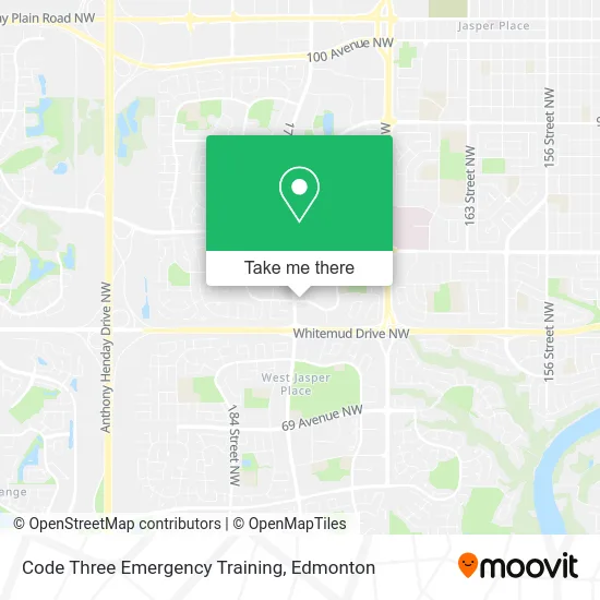
See Code Three Emergency Training, Edmonton, on the map
Public Transit to Code Three Emergency Training in Edmonton
Wondering how to get to Code Three Emergency Training in Edmonton? Moovit helps you find the best way to get to Code Three Emergency Training with step-by-step directions from the nearest public transit station.
Moovit provides free maps and live directions to help you navigate through your city. View schedules, routes, timetables, and find out how long does it take to get to Code Three Emergency Training in real time.
Looking for the nearest stop or station to Code Three Emergency Training? Check out this list of stops closest to your destination: 178 Street & 81 Avenue; 178 Street & Whitemud Drive.
Bus: 913, 916, 918, 917, 923, 910X.
Want to see if there’s another route that gets you there at an earlier time? Moovit helps you find alternative routes or times. Get directions from and directions to Code Three Emergency Training easily from the Moovit App or Website.
We make riding to Code Three Emergency Training easy, which is why over 1.5 million users, including users in Edmonton, trust Moovit as the best app for public transit. You don’t need to download an individual bus app or train app, Moovit is your all-in-one transit app that helps you find the best bus time or train time available.
For information on prices of bus, costs and ride fares to Code Three Emergency Training, please check the Moovit app.
Use the app to navigate to popular places including to the airport, hospital, stadium, grocery store, mall, coffee shop, school, college, and university.
Code Three Emergency Training Address: 17728 81 Ave NW Edmonton, AB T5T 1M1 street in Edmonton
- KJK Cleaning Service,
- LDS Missionaries,
- Primrose Gardens Corp,
- Epo International,
- Now Global,
- Asap General Contractor,
- James McMillan Photo and Art,
- Bulwark Painting,
- I Painted That Paint Parties,
- Kabayan Driving School,
- Tizzy's Treasures,
- Reality Counselling & Support Services,
- Sumisura YEG,
- Stationgift West,
- U-Haul,
- Ays Cleaning,
- Flower Tailors,
- La Bello Aesthetics,
- Tuli Mediterranean Halal Food Market & Deli,
- Perfect Golf Range
Places Near Code Three Emergency Training (Edmonton)
- Canada Place Service Canada Centre, Edmonton,
- Rogers Place, Edmonton,
- Alberta Legislature Building, Edmonton,
- West Edmonton Mall, Edmonton,
- Edmonton Commonwealth Stadium, Edmonton,
- Fort Edmonton Park, Edmonton,
- Edmonton Valley Zoo, Edmonton,
- Grey Nuns Community Hospital, Edmonton,
- Royal Alexandra Hospital, Edmonton,
- Edmonton VIA Rail Station, Edmonton,
- Cross Cancer Institute, Edmonton,
- University of Alberta, Edmonton,
- Kaye Edmonton Clinic, Edmonton,
- Edmonton EXPO Centre, Edmonton,
- MacEwan University, Edmonton,
- Londonderry Mall, Edmonton,
- Borden Park, Edmonton,
- Whyte Avenue, Edmonton,
- Kingsway Mall, Edmonton,
- Northgate Centre, Edmonton
How to get to popular places in Edmonton with public transit
Get around Edmonton by public transit!
Traveling around Edmonton has never been so easy. See step by step directions as you travel to any attraction, street or major public transit station. View bus and train schedules, arrival times, service alerts and detailed routes on a map, so you know exactly how to get to anywhere in Edmonton.
When traveling to any destination around Edmonton use Moovit's Live Directions with Get Off Notifications to know exactly where and how far to walk, how long to wait for your line, and how many stops are left. Moovit will alert you when it's time to get off — no need to constantly re-check whether yours is the next stop.
Wondering how to use public transit in Edmonton or how to pay for public transit in Edmonton? Moovit public transit app can help you navigate your way with public transit easily, and at minimum cost. It includes public transit fees, ticket prices, and costs. Looking for a map of Edmonton public transit lines? Moovit public transit app shows all public transit maps in Edmonton with all Bus and Light Rail routes and stops on an interactive map.
Edmonton has 2 transit type(s), including: Bus and Light Rail, operated by several transit agencies, including ETS LRT, ETS, Strathcona County Transit, St. Albert Transit, Spruce Grove Transit, Fort Saskatchewan Transit, Beaumont Transit and Leduc Transit