How to get to Codefreex by bus?
Click on the bus route to see step by step directions with maps, line arrival times and updated time schedules.
From Walmart Supercenter, Kearny
74 minFrom West Orange, NJ, West Orange
71 minFrom Jersey Gardens, Elizabeth
53 minFrom University Hospital, Newark
33 minFrom Bayonne, NJ, Bayonne
123 minFrom Immigration Court-Newark, Newark
24 minFrom Walmart, Kearny
74 minFrom Walmart, Linden
70 minFrom Red Bull Arena, Harrison
42 minFrom Clara Maass Medical Center, Belleville
60 min
How to get to Codefreex by train?
Click on the train route to see step by step directions with maps, line arrival times and updated time schedules.
Bus stops near Codefreex in Hillside
Bus lines to Codefreex in Hillside
What are the closest stations to Codefreex?
The closest stations to Codefreex are:
- Long Avenue at New York Place is 40 yards away, 1 min walk.
- Liberty Ave at Long Ave is 132 yards away, 2 min walk.
- Bloy St at Chapman St is 320 yards away, 4 min walk.
- Us-22 at Bloy St is 405 yards away, 5 min walk.
- Hillside Ave at Bloy St is 494 yards away, 6 min walk.
- Union is 3734 yards away, 44 min walk.
- North Elizabeth is 4625 yards away, 55 min walk.
Which bus lines stop near Codefreex?
These bus lines stop near Codefreex: 113, 114, 26, 65, 66.
Which train line stops near Codefreex?
RVL (Raritan / High Bridge)
What’s the nearest bus station to Codefreex in Hillside?
The nearest bus station to Codefreex in Hillside is Long Avenue at New York Place. It’s a 1 min walk away.
What time is the first train to Codefreex in Hillside?
The NC is the first train that goes to Codefreex in Hillside. It stops nearby at 4:43 AM.
What time is the last train to Codefreex in Hillside?
The NC is the last train that goes to Codefreex in Hillside. It stops nearby at 1:52 AM.
What time is the first bus to Codefreex in Hillside?
The 114 is the first bus that goes to Codefreex in Hillside. It stops nearby at 4:56 AM.
What time is the last bus to Codefreex in Hillside?
The 114 is the last bus that goes to Codefreex in Hillside. It stops nearby at 1:01 AM.
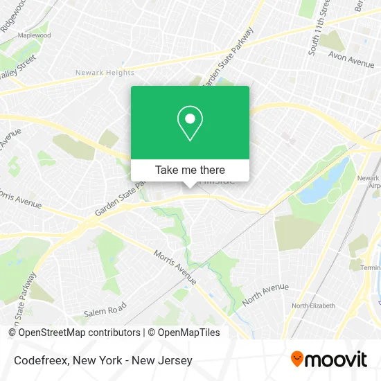
See Codefreex, Hillside, on the map
Public Transit to Codefreex in Hillside
Wondering how to get to Codefreex in Hillside? Moovit helps you find the best way to get to Codefreex with step-by-step directions from the nearest public transit station.
Moovit provides free maps and live directions to help you navigate through your city. View schedules, routes, timetables, and find out how long does it take to get to Codefreex in real time.
Looking for the nearest stop or station to Codefreex? Check out this list of stops closest to your destination: Long Avenue at New York Place; Liberty Ave at Long Ave; Bloy St at Chapman St; Us-22 at Bloy St; Hillside Ave at Bloy St; Union; North Elizabeth.
Bus: 113, 114, 26, 65, 66.Train: RVL, NC, NJCL.
Want to see if there’s another route that gets you there at an earlier time? Moovit helps you find alternative routes or times. Get directions from and directions to Codefreex easily from the Moovit App or Website.
We make riding to Codefreex easy, which is why over 1.5 million users, including users in Hillside, trust Moovit as the best app for public transit. You don’t need to download an individual bus app or train app, Moovit is your all-in-one transit app that helps you find the best bus time or train time available.
For information on prices of bus, subway and train, costs and ride fares to Codefreex, please check the Moovit app.
Use the app to navigate to popular places including to the airport, hospital, stadium, grocery store, mall, coffee shop, school, college, and university.
Codefreex Address: 473 Mundet Pl street in Hillside
- Chawya,
- Haskai,
- Scalease,
- Volt Solars,
- Houston Texas,
- Rv-Profimax,
- Budget Glow Up,
- 1lovebaby.Com,
- Best Airline Deals,
- Marina Cosmetics Store,
- Funky Wholesale,
- Aliexpress,
- Accuretta Systems,
- Sugar Stores Inc,
- Essay Freelance Writers,
- Cvcs Business Solutions,
- Netsense Technologies,
- M Sport Motor Cars,
- Music Label,
- Healthplux
Places Near Codefreex (Hillside)
- 111 Centre New York City Supreme Court, Manhattan,
- 66 John Street, Manhattan,
- Katz's Deli, Manhattan,
- Rockefeller Center, Manhattan,
- San Gennaro Feast, Manhattan,
- Times Square, Manhattan,
- Queens Center Mall, Queens,
- 26 Federal Plaza, Manhattan,
- Bellevue Hospital, Manhattan,
- Chinatown, Manhattan,
- 911 Memorial, Manhattan,
- qqqq, Manhattan,
- Hudson Yards, Manhattan,
- 1 Police Plaza, Manhattan,
- Mountainside Hospital, Glen Ridge,
- 376 Hudson Street, Manhattan,
- SoHo, Manhattan,
- 3 Stone St, Manhattan,
- Wall Street, Manhattan,
- Pier 83, Manhattan
How to get to popular places in New York - New Jersey with public transit
Get around Hillside by public transit!
Traveling around Hillside has never been so easy. See step by step directions as you travel to any attraction, street or major public transit station. View bus and train schedules, arrival times, service alerts and detailed routes on a map, so you know exactly how to get to anywhere in Hillside.
When traveling to any destination around Hillside use Moovit's Live Directions with Get Off Notifications to know exactly where and how far to walk, how long to wait for your line, and how many stops are left. Moovit will alert you when it's time to get off — no need to constantly re-check whether yours is the next stop.
Wondering how to use public transit in Hillside or how to pay for public transit in Hillside? Moovit public transit app can help you navigate your way with public transit easily, and at minimum cost. It includes public transit fees, ticket prices, and costs. Looking for a map of Hillside public transit lines? Moovit public transit app shows all public transit maps in Hillside with all Bus, Train, Subway, Light Rail, Ferry and Cable Car routes and stops on an interactive map.
New York - New Jersey has 6 transit type(s), including: Bus, Train, Subway, Light Rail, Ferry and Cable Car, operated by several transit agencies, including MTA Subway, Metro-North Railroad, LIRR, PATH, MTA New York City Transit - Express routes, MTA Bus, NJ Transit, NYC Ferry, NICE bus, Bee-Line Bus, NJ Transit Rail, Norwalk Transit District, Hartford Line, River Valley Transit and HART