How to get to Coinme by bus?
Click on the bus route to see step by step directions with maps, line arrival times and updated time schedules.
From Kearny, NJ, Kearny
43 minFrom Union City, NJ, Union City
29 minFrom Nutley, NJ, Nutley
43 minFrom Walmart Supercenter, Kearny
82 minFrom Walmart, Kearny
82 minFrom Clifton, NJ, Clifton
42 minFrom West New York, NJ, West New York
49 minFrom Sojo Spa Club, Edgewater
70 minFrom Mountainside Hospital, Glen Ridge
67 minFrom Clara Maass Medical Center, Belleville
55 min
How to get to Coinme by train?
Click on the train route to see step by step directions with maps, line arrival times and updated time schedules.
Bus stops near Coinme in Wallington
Bus lines to Coinme in Wallington
What are the closest stations to Coinme?
The closest stations to Coinme are:
- Paterson Ave at Atkins Terrace is 107 yards away, 2 min walk.
- Paterson Ave at Mozart St is 974 yards away, 12 min walk.
- Rutherford is 2374 yards away, 28 min walk.
- Wood- Ridge is 3804 yards away, 45 min walk.
Which bus lines stop near Coinme?
These bus lines stop near Coinme: 160, 703.
Which train line stops near Coinme?
PJL (Port Jervis)
What’s the nearest train station to Coinme in Wallington?
The nearest train station to Coinme in Wallington is Rutherford. It’s a 28 min walk away.
What’s the nearest bus station to Coinme in Wallington?
The nearest bus station to Coinme in Wallington is Paterson Ave at Atkins Terrace. It’s a 2 min walk away.
What time is the first train to Coinme in Wallington?
The MCL is the first train that goes to Coinme in Wallington. It stops nearby at 5:34 AM.
What time is the last train to Coinme in Wallington?
The MCL is the last train that goes to Coinme in Wallington. It stops nearby at 1:56 AM.
What time is the first bus to Coinme in Wallington?
The 163 is the first bus that goes to Coinme in Wallington. It stops nearby at 4:43 AM.
What time is the last bus to Coinme in Wallington?
The 163 is the last bus that goes to Coinme in Wallington. It stops nearby at 12:41 AM.
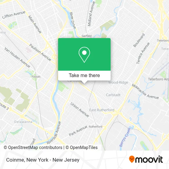
See Coinme, Wallington, on the map
Public Transit to Coinme in Wallington
Wondering how to get to Coinme in Wallington? Moovit helps you find the best way to get to Coinme with step-by-step directions from the nearest public transit station.
Moovit provides free maps and live directions to help you navigate through your city. View schedules, routes, timetables, and find out how long does it take to get to Coinme in real time.
Looking for the nearest stop or station to Coinme? Check out this list of stops closest to your destination: Paterson Ave at Atkins Terrace; Paterson Ave at Mozart St; Rutherford; Wood- Ridge.
Bus: 160, 703, 163, 164.Train: PJL, MCL, PVL.
Want to see if there’s another route that gets you there at an earlier time? Moovit helps you find alternative routes or times. Get directions from and directions to Coinme easily from the Moovit App or Website.
We make riding to Coinme easy, which is why over 1.5 million users, including users in Wallington, trust Moovit as the best app for public transit. You don’t need to download an individual bus app or train app, Moovit is your all-in-one transit app that helps you find the best bus time or train time available.
For information on prices of bus and train, costs and ride fares to Coinme, please check the Moovit app.
Use the app to navigate to popular places including to the airport, hospital, stadium, grocery store, mall, coffee shop, school, college, and university.
Coinme Address: 375 Paterson Ave street in Wallington
- Gnc,
- Shoprite Wines and Spirits,
- Atm Polish & Slavic Fcu,
- Snowfox,
- Handyman.M,
- Easyk L’Unik,
- \R\Nglobal News & Analysis,
- Stevewaltmangolf,
- Geoviewusa,
- Cardboardboomerangs\R\N,
- Krugerconstruction,
- Coinstar Kiosk - Bitcoin Atm,
- Rutherford Heights,
- Carerite Now,
- Keyme Locksmiths,
- Ecoatm,
- Polish and Slavic Federal Credit Union,
- Td Bank,
- Smart Hvac Solutions,
- Zentek Consultants
Places Near Coinme (Wallington)
- Wall Street, Manhattan,
- Bellevue Hospital, Manhattan,
- Pier 83, Manhattan,
- San Gennaro Feast, Manhattan,
- Katz's Deli, Manhattan,
- Rockefeller Center, Manhattan,
- Times Square, Manhattan,
- 26 Federal Plaza, Manhattan,
- Queens Center Mall, Queens,
- SoHo, Manhattan,
- 111 Centre New York City Supreme Court, Manhattan,
- 911 Memorial, Manhattan,
- 1 Police Plaza, Manhattan,
- 3 Stone St, Manhattan,
- 376 Hudson Street, Manhattan,
- qqqq, Manhattan,
- 66 John Street, Manhattan,
- Mountainside Hospital, Glen Ridge,
- Chinatown, Manhattan,
- Hudson Yards, Manhattan
How to get to popular places in New York - New Jersey with public transit
Get around Wallington by public transit!
Traveling around Wallington has never been so easy. See step by step directions as you travel to any attraction, street or major public transit station. View bus and train schedules, arrival times, service alerts and detailed routes on a map, so you know exactly how to get to anywhere in Wallington.
When traveling to any destination around Wallington use Moovit's Live Directions with Get Off Notifications to know exactly where and how far to walk, how long to wait for your line, and how many stops are left. Moovit will alert you when it's time to get off — no need to constantly re-check whether yours is the next stop.
Wondering how to use public transit in Wallington or how to pay for public transit in Wallington? Moovit public transit app can help you navigate your way with public transit easily, and at minimum cost. It includes public transit fees, ticket prices, and costs. Looking for a map of Wallington public transit lines? Moovit public transit app shows all public transit maps in Wallington with all Bus, Train, Subway, Light Rail, Ferry and Cable Car routes and stops on an interactive map.
New York - New Jersey has 6 transit type(s), including: Bus, Train, Subway, Light Rail, Ferry and Cable Car, operated by several transit agencies, including MTA Subway, Metro-North Railroad, LIRR, PATH, MTA New York City Transit - Express routes, MTA Bus, NJ Transit, NYC Ferry, NICE bus, Bee-Line Bus, NJ Transit Rail, Norwalk Transit District, Hartford Line, River Valley Transit and HART