Bus stop near Colonial Intermediate in New York - New Jersey
- West Main St / Grace Park, 4 min walk,VIEW
Bus lines to Colonial Intermediate in New York - New Jersey
- 101, Giant,VIEW
- Stroudsburg Little League,
- B.F. Morey,
- 1015 W Main St,
- Camp Papillon,
- New Glenbrooke East 2,
- Navy Federal Credit Union,
- PNC Bank,
- Wawa,
- ATM,
- B. F. Morey Elementary Playground,
- PNC Atm,
- Atm PNC at Wawa,
- Creekside Pet Crematory,
- Delicias Catracha .,
- Upper Level Construction,
- Stroudsburg Inn,
- Stroudsburg Mini-Thon Public Relations,
- Common Threads,
- Dunkin',
- Camelback Real Estate Group
Places Near Colonial Intermediate (New York - New Jersey)
- 911 Memorial, Manhattan,
- Bellevue Hospital, Manhattan,
- San Gennaro Feast, Manhattan,
- 3 Stone St, Manhattan,
- 66 John Street, Manhattan,
- Queens Center Mall, Queens,
- Mountainside Hospital, Glen Ridge,
- 1 Police Plaza, Manhattan,
- 26 Federal Plaza, Manhattan,
- Chinatown, Manhattan,
- qqqq, Manhattan,
- SoHo, Manhattan,
- Wall Street, Manhattan,
- 376 Hudson Street, Manhattan,
- Pier 83, Manhattan,
- 111 Centre New York City Supreme Court, Manhattan,
- Rockefeller Center, Manhattan,
- Hudson Yards, Manhattan,
- Times Square, Manhattan,
- Katz's Deli, Manhattan
How to get to popular places in New York - New Jersey with public transit
What are the closest stations to Colonial Intermediate?
The closest stations to Colonial Intermediate are:
- West Main St / Grace Park is 314 yards away, 4 min walk.
What’s the nearest bus station to Colonial Intermediate in New York - New Jersey?
The nearest bus station to Colonial Intermediate in New York - New Jersey is West Main St / Grace Park. It’s a 4 min walk away.
What time is the first bus to Colonial Intermediate in New York - New Jersey?
The 101 is the first bus that goes to Colonial Intermediate in New York - New Jersey. It stops nearby at 6:37 AM.
What time is the last bus to Colonial Intermediate in New York - New Jersey?
The 101 is the last bus that goes to Colonial Intermediate in New York - New Jersey. It stops nearby at 10:44 PM.
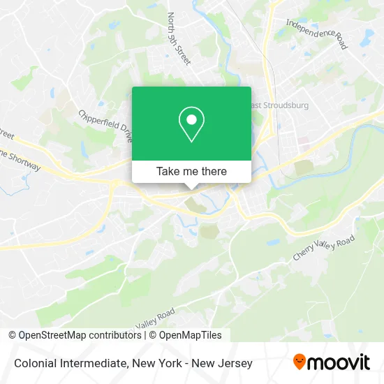
See Colonial Intermediate, New York - New Jersey, on the map
Public Transit to Colonial Intermediate in New York - New Jersey
Wondering how to get to Colonial Intermediate in New York - New Jersey? Moovit helps you find the best way to get to Colonial Intermediate with step-by-step directions from the nearest public transit station.
Moovit provides free maps and live directions to help you navigate through your city. View schedules, routes, timetables, and find out how long does it take to get to Colonial Intermediate in real time.
Looking for the nearest stop or station to Colonial Intermediate? Check out this list of stops closest to your destination: West Main St / Grace Park.
Want to see if there’s another route that gets you there at an earlier time? Moovit helps you find alternative routes or times. Get directions from and directions to Colonial Intermediate easily from the Moovit App or Website.
We make riding to Colonial Intermediate easy, which is why over 1.5 million users, including users in New York - New Jersey, trust Moovit as the best app for public transit. You don’t need to download an individual bus app or train app, Moovit is your all-in-one transit app that helps you find the best bus time or train time available.
Use the app to navigate to popular places including to the airport, hospital, stadium, grocery store, mall, coffee shop, school, college, and university.
Colonial Intermediate Address: 1044 W Main St street in New York - New Jersey
Get around New York - New Jersey by public transit!
Traveling around New York - New Jersey has never been so easy. See step by step directions as you travel to any attraction, street or major public transit station. View bus and train schedules, arrival times, service alerts and detailed routes on a map, so you know exactly how to get to anywhere in New York - New Jersey.
When traveling to any destination around New York - New Jersey use Moovit's Live Directions with Get Off Notifications to know exactly where and how far to walk, how long to wait for your line, and how many stops are left. Moovit will alert you when it's time to get off — no need to constantly re-check whether yours is the next stop.
Wondering how to use public transit in New York - New Jersey or how to pay for public transit in New York - New Jersey? Moovit public transit app can help you navigate your way with public transit easily, and at minimum cost. It includes public transit fees, ticket prices, and costs. Looking for a map of New York - New Jersey public transit lines? Moovit public transit app shows all public transit maps in New York - New Jersey with all Bus, Train, Subway, Light Rail, Ferry and Cable Car routes and stops on an interactive map.
New York - New Jersey has 6 transit type(s), including: Bus, Train, Subway, Light Rail, Ferry and Cable Car, operated by several transit agencies, including MTA Subway, Metro-North Railroad, LIRR, PATH, MTA New York City Transit - Express routes, MTA Bus, NJ Transit, NYC Ferry, NICE bus, Bee-Line Bus, NJ Transit Rail, Norwalk Transit District, Hartford Line, River Valley Transit and HART