How to get to Colonial Manufacturing by bus?
Click on the bus route to see step by step directions with maps, line arrival times and updated time schedules.
From Potomac Mills Mall, Prince William County
241 minFrom Rose Gaming Resort, Prince William County
266 minFrom Lorton, VA - Amtrak Auto Train Station (LOR), Fairfax County
256 minFrom Lorton, VA, Fairfax County
250 minFrom Busch Gardens Williamsburg (Employee Parking Lot), James City County
198 minFrom UVA Hospital Medical Center, Charlottesville
330 minFrom Woodbridge, VA, Prince William County
185 minFrom Amazon Fulfillment Center-Ric3, Richmond
105 min
Bus stop near Colonial Manufacturing in Richmond
- Jahnke + Westover Gardens Boulevard, 7 min walk,VIEW
Bus lines to Colonial Manufacturing in Richmond
- 2B, Jahnke/Forest Hill/North Ave,VIEW
What are the closest stations to Colonial Manufacturing?
The closest stations to Colonial Manufacturing are:
- Jahnke + Westover Gardens Boulevard is 542 yards away, 7 min walk.
Which bus lines stop near Colonial Manufacturing?
These bus lines stop near Colonial Manufacturing: 1A, 2B.
What’s the nearest bus station to Colonial Manufacturing in Richmond?
The nearest bus station to Colonial Manufacturing in Richmond is Jahnke + Westover Gardens Boulevard. It’s a 7 min walk away.
What time is the first bus to Colonial Manufacturing in Richmond?
The 2B is the first bus that goes to Colonial Manufacturing in Richmond. It stops nearby at 5:44 AM.
What time is the last bus to Colonial Manufacturing in Richmond?
The 2B is the last bus that goes to Colonial Manufacturing in Richmond. It stops nearby at 12:20 AM.
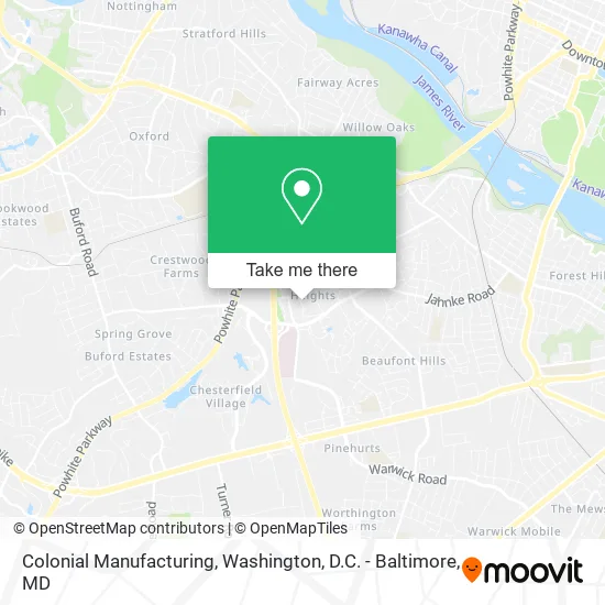
See Colonial Manufacturing, Richmond, on the map
Public Transit to Colonial Manufacturing in Richmond
Wondering how to get to Colonial Manufacturing in Richmond? Moovit helps you find the best way to get to Colonial Manufacturing with step-by-step directions from the nearest public transit station.
Moovit provides free maps and live directions to help you navigate through your city. View schedules, routes, timetables, and find out how long does it take to get to Colonial Manufacturing in real time.
Looking for the nearest stop or station to Colonial Manufacturing? Check out this list of stops closest to your destination: Jahnke + Westover Gardens Boulevard.
Bus: 1A, 2B.
Want to see if there’s another route that gets you there at an earlier time? Moovit helps you find alternative routes or times. Get directions from and directions to Colonial Manufacturing easily from the Moovit App or Website.
We make riding to Colonial Manufacturing easy, which is why over 1.5 million users, including users in Richmond, trust Moovit as the best app for public transit. You don’t need to download an individual bus app or train app, Moovit is your all-in-one transit app that helps you find the best bus time or train time available.
For information on prices of bus and train, costs and ride fares to Colonial Manufacturing, please check the Moovit app.
Use the app to navigate to popular places including to the airport, hospital, stadium, grocery store, mall, coffee shop, school, college, and university.
Colonial Manufacturing Address: 1323 Castleton Rd Richmond, VA 23225 street in Richmond
- Westover Gardens,
- Westover Gardens,
- New Life Books & Gifts,
- Westover Heights,
- DRS Stenger, Cole & Gupta,
- Richmond Limo,
- Fantl Paul F,
- Schroeder Stenger Doctor Assoc,
- Chippenham Pediatric & Adolescent Medicine PC,
- Commonwealth Pediatrics,
- Bon Air Chiropractic Clinic,
- Healing Hands of Virginia,
- Wellpoint Anthem,
- Creek Mobile Locksmith Shop,
- Boulder Parke,
- Wells Fargo,
- Forest Hill Station Richmond Post Office,
- Redeemed Tree Service,
- Cypress Heating and Air Conditioning,
- J R Painting
Places Near Colonial Manufacturing (Richmond)
- The Anthem, Washington,
- Warner Theatre, Washington,
- National Mall, Washington,
- National Zoo, Washington,
- Pennsylvania Ave NW (3rd st and pennsylvania), Washington,
- Rock Creek Tennis Center, Washington,
- Georgetown, Washington,
- Museum Of The Bible, Washington,
- Westfield Montgomery Mall, Montgomery County,
- Washington DC VA Medical Center, Washington,
- Marriott Marquis Washington, DC, Washington,
- M&T Bank Stadium, Baltimore,
- PG Mall, Prince George's County,
- National Museum of African American History and Culture, Washington,
- Basilica of the National Shrine, Washington,
- Capital One Arena, Washington,
- Sibley Memorial Hospital, Washington,
- Washington National Cathedral, Washington,
- Amazon Hq2, Arlington County,
- Camden Yards, Baltimore
How to get to popular places in Washington, D.C. - Baltimore, MD with public transit
Get around Richmond by public transit!
Traveling around Richmond has never been so easy. See step by step directions as you travel to any attraction, street or major public transit station. View bus and train schedules, arrival times, service alerts and detailed routes on a map, so you know exactly how to get to anywhere in Richmond.
When traveling to any destination around Richmond use Moovit's Live Directions with Get Off Notifications to know exactly where and how far to walk, how long to wait for your line, and how many stops are left. Moovit will alert you when it's time to get off — no need to constantly re-check whether yours is the next stop.
Wondering how to use public transit in Richmond or how to pay for public transit in Richmond? Moovit public transit app can help you navigate your way with public transit easily, and at minimum cost. It includes public transit fees, ticket prices, and costs. Looking for a map of Richmond public transit lines? Moovit public transit app shows all public transit maps in Richmond with all Bus, Train, Metro, Light Rail and Ferry routes and stops on an interactive map.
Washington, D.C. - Baltimore, MD has 5 transit type(s), including: Bus, Train, Metro, Light Rail and Ferry, operated by several transit agencies, including WMATA, Montgomery County Ride On, Fairfax Connector, TheBus, PRTC, DASH - Alexandria, Arlington Transit (ART), RTA of Central Maryland, MDOT MTA, MDOT MTA Light RailLink, MDOT MTA Commuter Bus, MDOT MTA Local Bus, FXBGO!, Virginia Railway Express (VRE) and MARC