Directions to Coltelli Giuseppe (Capannori) with public transportation
The following transit lines have routes that pass near Coltelli Giuseppe
 Bus: E7.
How to get to Coltelli Giuseppe by bus?
Click on the bus route to see step by step directions with maps, line arrival times and updated time schedules.
From Don Carlos Disco, Chiesina Uzzanese
76 minFrom Lucca Trade Fair, Lucca
43 minFrom Campo di Marte Health Citadel, Lucca
30 minFrom Restaurant Bar Pizzeria Oasi al Lago, Santa Maria A Monte
56 minFrom Carmar Trans, Altopascio
74 minFrom San Luca Hospital, Lucca
26 minFrom Santa Zita Care Home, Lucca
30 minFrom Md Barbantini Medical Care Center, Lucca
24 minFrom Santa Maria A Monte, Santa Maria A Monte
68 minFrom Castelfalfi A. & T., Pontedera
41 min
Bus stop near Coltelli Giuseppe in Capannori
- Castelvecchio Compito, 2 min walk,VIEW
Bus lines to Coltelli Giuseppe in Capannori
- E7, Lucca Piazzale Verdi,VIEW
What are the closest stations to Coltelli Giuseppe?
The closest stations to Coltelli Giuseppe are:
- Castelvecchio Compito is 95 meters away, 2 min walk.
Which bus line stops near Coltelli Giuseppe?
E7 (Pontedera)
What’s the nearest bus station to Coltelli Giuseppe in Capannori?
The nearest bus station to Coltelli Giuseppe in Capannori is Castelvecchio Compito. It’s a 2 min walk away.
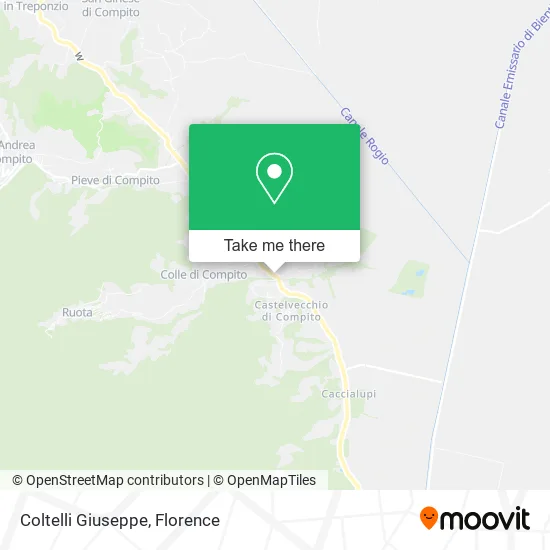
See Coltelli Giuseppe, Capannori, on the map
Public Transit to Coltelli Giuseppe in Capannori
Wondering how to get to Coltelli Giuseppe in Capannori? Moovit helps you find the best way to get to Coltelli Giuseppe with step-by-step directions from the nearest public transit station.
Moovit provides free maps and live directions to help you navigate through your city. View schedules, routes, timetables, and find out how long does it take to get to Coltelli Giuseppe in real time.
Looking for the nearest stop or station to Coltelli Giuseppe? Check out this list of stops closest to your destination: Castelvecchio Compito.
Bus: E7.
Want to see if there’s another route that gets you there at an earlier time? Moovit helps you find alternative routes or times. Get directions from and directions to Coltelli Giuseppe easily from the Moovit App or Website.
We make riding to Coltelli Giuseppe easy, which is why over 1.7 million users, including users in Capannori, trust Moovit as the best app for public transit. You don’t need to download an individual bus app or train app, Moovit is your all-in-one transit app that helps you find the best bus time or train time available.
For information on prices of bus, costs and ride fares to Coltelli Giuseppe, please check the Moovit app.
Use the app to navigate to popular places including to the airport, hospital, stadium, grocery store, mall, coffee shop, school, college, and university.
Coltelli Giuseppe Address: Via di Tiglio, 55012 Capannori street in Capannori
- Del Barba Maria Angela,
- Verocibo,
- Orsi Alessandro,
- Etruria Star Products by Bartolomei Gianpaolo,
- The Castle,
- Iacopetti Paolina & C.,
- Filippi Ivano,
- Intercarta,
- Diana Auto Workshop & Service Center,
- The Friendly Hand Social Cooperative,
- Nappini Lia Susanna,
- Capannori Municipality,
- Anffas Onlus of Lucca,
- Il Gattino Bar,
- Roberto Giovanni Piegaia,
- Social Oil Mill of Compitese,
- Led Service by Iacopetti Antonio & Co.,
- Blue Ceramics,
- Park View Country House B&B,
- The Lively Garden by Berruyer Didier Bernard
Places Near Coltelli Giuseppe (Capannori)
- Nelson Mandela Forum, Florence,
- Cascine Park, Florence,
- Michelangelo Square, Florence,
- I Gigli, Campi Bisenzio,
- Santa Maria Nuova Hospital, Florence,
- OOO, Florence,
- Artemio Franchi Municipal Stadium, Florence,
- Viola Park, Bagno a Ripoli,
- Tobacco Manufacture, Florence,
- IKEA Florence, Sesto Fiorentino,
- Michelangelo Square, Florence,
- Campi Bisenzio, Campi Bisenzio,
- Piero Palagi Hospital Facility-Florence, Florence,
- Verdi Theater, Florence,
- Mandela Forum (Nelson Mandela Forum), Florence,
- Wanny Palace, Florence,
- Field of Mars, Florence,
- Asmana, Campi Bisenzio,
- Santa Maria Novella Station, Florence,
- Torregalli Hospital Scandicci *, Scandicci
How to get to popular places in Florence with public transit
Get around Capannori by public transit!
Traveling around Capannori has never been so easy. See step by step directions as you travel to any attraction, street or major public transit station. View bus and train schedules, arrival times, service alerts and detailed routes on a map, so you know exactly how to get to anywhere in Capannori.
When traveling to any destination around Capannori use Moovit's Live Directions with Get Off Notifications to know exactly where and how far to walk, how long to wait for your line, and how many stops are left. Moovit will alert you when it's time to get off — no need to constantly re-check whether yours is the next stop.
Wondering how to use public transit in Capannori or how to pay for public transit in Capannori? Moovit public transit app can help you navigate your way with public transit easily, and at minimum cost. It includes public transit fees, ticket prices, and costs. Looking for a map of Capannori public transit lines? Moovit public transit app shows all public transit maps in Capannori with all Bus, Train, Light Rail, Ferry and Funicular routes and stops on an interactive map.
Florence has 5 transit type(s), including: Bus, Train, Light Rail, Ferry and Funicular, operated by several transit agencies, including Florence Urban - Tuscan Bus Lines, GEST, Florence and Province - Tuscan Bus Lines, Livorno and Province - Tuscan Bus Lines, Arezzo, Florence and Provinces - Tuscan Bus Lines, Prato and Province - Tuscan Bus Lines, Massa, Carrara and Province - Tuscan Bus Lines, Pisa and Province - Tuscan Bus Lines, Grosseto, Siena and Provinces - Tuscan Bus Lines, Arezzo, Siena and Provinces - Tuscan Bus Lines, Pistoia and Province - Tuscan Bus Lines, Siena and Province - Tuscan Bus Lines, Arezzo and Province - Tuscan Bus Lines, Lucca and Province - Tuscan Bus Lines and Trenitalia