How to get to Comercial Costa Azul by bus?
Click on the bus route to see step by step directions with maps, line arrival times and updated time schedules.
From Lurin, Lurin
31 minFrom playa san pedro, Lurin
31 minFrom Km 40 Panamericana Sur, Lurin
32 minFrom CANAL 4 PACHACAMAC, Lurin
51 minFrom Estudio America Tv Pachacamac, Lurin
46 minFrom Fundo San Vicente, Lurin
44 minFrom AV EUCALIPTOS URB SANTA GENOVEVA, Lurin
40 minFrom paradero Explosivos Lurín, Lurin
51 min
Bus stop near Comercial Costa Azul in Punta Negr
- Antigua Panamericana Sur, 1072, 1 min walk,VIEW
Bus lines to Comercial Costa Azul in Punta Negr
- 1251, San Marcos (San Miguel) - San José (San Bartolo),VIEW
- 1253, Precursores (San Miguel) - San José (San Bartolo),VIEW
- 1254, Precursores (San Miguel) - Manuel Scorza (Pucusana),VIEW
- 1396, Antigua Carretera Panamericana Sur (Punta Negra) - Hospital De La Solidaridad (Chorrillos),VIEW
- 1416, V.E.S. - San Bartolo,VIEW
- 1467, Pucusana - La Victoria,VIEW
- 8801, San Bartolo - J.C.Tello (Lurín),VIEW
What are the closest stations to Comercial Costa Azul?
The closest stations to Comercial Costa Azul are:
- Antigua Panamericana Sur, 1072 is 11 meters away, 1 min walk.
Which bus lines stop near Comercial Costa Azul?
These bus lines stop near Comercial Costa Azul: 1253, 1254, 1467.
What’s the nearest bus station to Comercial Costa Azul in Punta Negr?
The nearest bus station to Comercial Costa Azul in Punta Negr is Antigua Panamericana Sur, 1072. It’s a 1 min walk away.
What time is the first bus to Comercial Costa Azul in Punta Negr?
The 1253 is the first bus that goes to Comercial Costa Azul in Punta Negr. It stops nearby at 3:59 AM.
What time is the last bus to Comercial Costa Azul in Punta Negr?
The 1416 is the last bus that goes to Comercial Costa Azul in Punta Negr. It stops nearby at 11:50 PM.
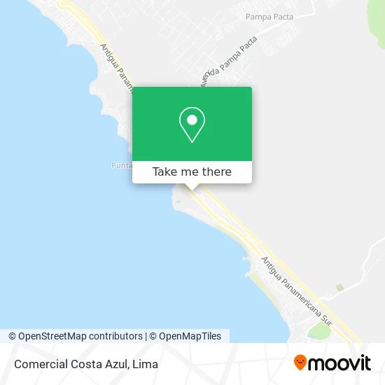
See Comercial Costa Azul, Punta Negr, on the map
Public Transit to Comercial Costa Azul in Punta Negr
Wondering how to get to Comercial Costa Azul in Punta Negr? Moovit helps you find the best way to get to Comercial Costa Azul with step-by-step directions from the nearest public transit station.
Moovit provides free maps and live directions to help you navigate through your city. View schedules, routes, timetables, and find out how long does it take to get to Comercial Costa Azul in real time.
Looking for the nearest stop or station to Comercial Costa Azul? Check out this list of stops closest to your destination: Antigua Panamericana Sur.
Bus: 1253, 1254, 1467, 1251, 1396, 1416.
Want to see if there’s another route that gets you there at an earlier time? Moovit helps you find alternative routes or times. Get directions from and directions to Comercial Costa Azul easily from the Moovit App or Website.
We make riding to Comercial Costa Azul easy, which is why over 1.5 million users, including users in Punta Negr, trust Moovit as the best app for public transit. You don’t need to download an individual bus app or train app, Moovit is your all-in-one transit app that helps you find the best bus time or train time available.
For information on prices of bus, costs and ride fares to Comercial Costa Azul, please check the Moovit app.
Use the app to navigate to popular places including to the airport, hospital, stadium, grocery store, mall, coffee shop, school, college, and university.
Comercial Costa Azul Address: Punta Negra, 15851 Punta Hermosa street in Punta Negr
- Grifo Punta Rocas,
- Country Club El Bosque,
- Playa Cangrejo,
- Playa Punta Rocas,
- Centro De Alto Rendimiento De Surf,
- Entrada a Punta Rocas,
- Playa La Quebrada,
- Ofito,
- Playa Punta Roca Hamacas,
- Playa Las Hamacas,
- puntarocas km 47 antigua panamericana sur km 47 antigua panamericana sur,
- Urb Punta Rocas Av Pacifico Norte 19xx,
- Kontiki,
- Urbanización Punta Rocas,
- Playa Explosivos,
- Carretera Panamericana Km 41.5,
- Club Nautico de Punta Hermosa,
- Av Pacifico Norte 1045,
- PLAYA BLANCA MALECON 28 DE JULIO,
- Peaje km 43
Places Near Comercial Costa Azul (Punta Negr)
- Circuito Mágico Del Agua, Lima,
- Gamarra,
- Parque Kennedy, Miraflores,
- Plaza San Miguel, San Miguel,
- Barranco, Barranco,
- Pontificia Universidad Católica del Perú - PUCP, San Miguel,
- Miraflores, Miraflores,
- Real Plaza Puruchuco, Ate,
- av arequipa, Lima,
- Jockey Plaza, Santiago D,
- Larcomar, Miraflores,
- Av. Salaverry, Jesus Mari,
- Centro Comercial Plaza Norte, Independen,
- Av. La Marina, San Miguel,
- Hospital Edgardo Rebagliati Martins, Jesus Mari,
- Paradero Av.Brasil,
- Av. Abancay, Lima,
- Mall Del Sur,
- Aeropuerto Internacional Jorge Chávez, Ventanilla,
- Parque de las Leyendas, San Miguel
How to get to popular places in Lima with public transit
Get around Punta Negr by public transit!
Traveling around Punta Negr has never been so easy. See step by step directions as you travel to any attraction, street or major public transit station. View bus and train schedules, arrival times, service alerts and detailed routes on a map, so you know exactly how to get to anywhere in Punta Negr.
When traveling to any destination around Punta Negr use Moovit's Live Directions with Get Off Notifications to know exactly where and how far to walk, how long to wait for your line, and how many stops are left. Moovit will alert you when it's time to get off — no need to constantly re-check whether yours is the next stop.
Wondering how to use public transit in Punta Negr or how to pay for public transit in Punta Negr? Moovit public transit app can help you navigate your way with public transit easily, and at minimum cost. It includes public transit fees, ticket prices, and costs. Looking for a map of Punta Negr public transit lines? Moovit public transit app shows all public transit maps in Punta Negr with all Bus, Metro and Ferry routes and stops on an interactive map.
Lima has 3 transit type(s), including: Bus, Metro and Ferry, operated by several transit agencies, including Metro de Lima Línea 2 , Metro de Lima, Corredor Rojo, Metropolitano, Metropolitano - Alimentadores, Corredor Morado, Corredor Azul, Rutas Tradicionales, Transportes y Servicios La Esperanza S.A., Las Flores S.A., Virgen de la Asunción S.A., Consorcio HAM, Transportes y Service Canadá S.A., ETUL4SA and ETUCHISA