How to get to Command Crime Cleanup by bus?
Click on the bus route to see step by step directions with maps, line arrival times and updated time schedules.
From Hunt Brothers Pizza, Indianapolis City (Balance)
45 minFrom Community Health Community Hospital North-ER, Indianapolis City (Balance)
61 minFrom Ecoatm, Indianapolis City (Balance)
24 minFrom Credit Union 1, Indianapolis City (Balance)
47 minFrom Aunt Pollys Pizza (Polly's Big Slice), Indianapolis City (Balance)
52 minFrom 38th North Dr / N Hawthorne Ln, Indianapolis City (Balance)
38 minFrom Spartannash Logistics, Lawrence
33 minFrom Nicole Brittany Dall Finkelmeier, Pa, Indianapolis City (Balance)
64 minFrom Binford Blvd / Allisonville Rd, Indianapolis City (Balance)
59 min
Bus stops near Command Crime Cleanup in Indianapolis City (Balance)
Bus lines to Command Crime Cleanup in Indianapolis City (Balance)
What are the closest stations to Command Crime Cleanup?
The closest stations to Command Crime Cleanup are:
- Post Rd & 25th St is 250 yards away, 3 min walk.
- 33rd St & Mesilla Ct is 1025 yards away, 13 min walk.
Which bus lines stop near Command Crime Cleanup?
These bus lines stop near Command Crime Cleanup: 2, 30, 87, 92.
What’s the nearest bus station to Command Crime Cleanup in Indianapolis City (Balance)?
The nearest bus station to Command Crime Cleanup in Indianapolis City (Balance) is Post Rd & 25th St. It’s a 3 min walk away.
What time is the first bus to Command Crime Cleanup in Indianapolis City (Balance)?
The 2 is the first bus that goes to Command Crime Cleanup in Indianapolis City (Balance). It stops nearby at 4:31 AM.
What time is the last bus to Command Crime Cleanup in Indianapolis City (Balance)?
The 2 is the last bus that goes to Command Crime Cleanup in Indianapolis City (Balance). It stops nearby at 10:08 PM.
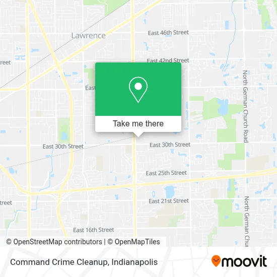
See Command Crime Cleanup, Indianapolis City (Balance), on the map
Public Transit to Command Crime Cleanup in Indianapolis City (Balance)
Wondering how to get to Command Crime Cleanup in Indianapolis City (Balance)? Moovit helps you find the best way to get to Command Crime Cleanup with step-by-step directions from the nearest public transit station.
Moovit provides free maps and live directions to help you navigate through your city. View schedules, routes, timetables, and find out how long does it take to get to Command Crime Cleanup in real time.
Looking for the nearest stop or station to Command Crime Cleanup? Check out this list of stops closest to your destination: Post Rd & 25th St; 33rd St & Mesilla Ct.
Bus: 2, 30, 87, 92.
Want to see if there’s another route that gets you there at an earlier time? Moovit helps you find alternative routes or times. Get directions from and directions to Command Crime Cleanup easily from the Moovit App or Website.
We make riding to Command Crime Cleanup easy, which is why over 1.5 million users, including users in Indianapolis City (Balance), trust Moovit as the best app for public transit. You don’t need to download an individual bus app or train app, Moovit is your all-in-one transit app that helps you find the best bus time or train time available.
For information on prices of bus, costs and ride fares to Command Crime Cleanup, please check the Moovit app.
Use the app to navigate to popular places including to the airport, hospital, stadium, grocery store, mall, coffee shop, school, college, and university.
Command Crime Cleanup Address: 3039 N Post Rd street in Indianapolis City (Balance)
- Third Party,
- On Demand Consulting,
- Dutchess by Design L.L.C.,
- Comfort Covenant Home Care, LLC,
- Volumod,
- P30 Indy,
- Key Computers,
- Post Rd & 30th St,
- Saucedos Auto Sales,
- Imi Concrete,
- Hogan Transport,
- Promisedland Adventures Childcare,
- Warren Township Schools,
- Cintas,
- Closet Factory,
- E 33rd St / N Post Rd,
- Country Lake Estate,
- Aimco,
- Swift Air Mechanical,
- Veldman Autoparts
Places Near Command Crime Cleanup (Indianapolis City (Balance))
- Methodist Hospital of Indianapolis, Indianapolis City (Balance),
- Castleton Square Mall, Indianapolis,
- Indiana Convention Center, Indianapolis City (Balance),
- THE BALT, Indianapolis City (Balance),
- Jersey Barn, Indianapolis City (Balance),
- St. Vincent entrance #1, Indianapolis City (Balance),
- Gainbridge Fieldhouse, Indianapolis City (Balance),
- Indiana, Indianapolis City (Balance),
- Eskenazi Hospital, Indianapolis City (Balance),
- Train Ride At Castleton Mall, Indianapolis City (Balance),
- Indianapolis Motor Speedway, Speedway,
- Lucas Oil Stadium, Indianapolis City (Balance),
- St. Vincent Hospital - Indianapolis, Indianapolis City (Balance),
- Cotter's Massage Parlor With Happy Endings, Indianapolis City (Balance),
- I-465 / I-65 Interchange, Indianapolis City (Balance),
- Plainfield, IN, Plainfield,
- 119 W 19th St Parking, Indianapolis City (Balance),
- I U Health Methodist Hospital, Indianapolis City (Balance),
- Indianapolis Airport Zone 2, Indianapolis City (Balance),
- Lilly Corporate Center (Eli Lilly & Co), Indianapolis City (Balance)
How to get to popular places in Indianapolis with public transit
Get around Indianapolis City (Balance) by public transit!
Traveling around Indianapolis City (Balance) has never been so easy. See step by step directions as you travel to any attraction, street or major public transit station. View bus and train schedules, arrival times, service alerts and detailed routes on a map, so you know exactly how to get to anywhere in Indianapolis City (Balance).
When traveling to any destination around Indianapolis City (Balance) use Moovit's Live Directions with Get Off Notifications to know exactly where and how far to walk, how long to wait for your line, and how many stops are left. Moovit will alert you when it's time to get off — no need to constantly re-check whether yours is the next stop.
Wondering how to use public transit in Indianapolis City (Balance) or how to pay for public transit in Indianapolis City (Balance)? Moovit public transit app can help you navigate your way with public transit easily, and at minimum cost. It includes public transit fees, ticket prices, and costs. Looking for a map of Indianapolis City (Balance) public transit lines? Moovit public transit app shows all public transit maps in Indianapolis City (Balance) with all bus routes and stops on an interactive map.
Indianapolis has 1 transit type(s), including: bus, operated by several transit agencies, including IndyGo, FlixBus-us and Greyhound-us