How to get to Community Partners by bus?
Click on the bus route to see step by step directions with maps, line arrival times and updated time schedules.
How to get to Community Partners by train?
Click on the train route to see step by step directions with maps, line arrival times and updated time schedules.
Bus stops near Community Partners in Biddeford
Train station near Community Partners in Biddeford
- Saco Amtrak Station, 20 min walk,VIEW
Bus lines to Community Partners in Biddeford
What are the closest stations to Community Partners?
The closest stations to Community Partners are:
- Elm St & Mason St is 688 yards away, 9 min walk.
- Mason St & Elm St is 705 yards away, 9 min walk.
- Lincoln & Pearl St (Parking Garage) is 1065 yards away, 13 min walk.
- Saco Amtrak Station is 1629 yards away, 20 min walk.
Which bus lines stop near Community Partners?
These bus lines stop near Community Partners: 52, 60.
Which train line stops near Community Partners?
DOWNEASTER (Brunswick Amtrak Station→Boston)
What’s the nearest train station to Community Partners in Biddeford?
The nearest train station to Community Partners in Biddeford is Saco Amtrak Station. It’s a 20 min walk away.
What’s the nearest bus station to Community Partners in Biddeford?
The nearest bus stations to Community Partners in Biddeford are Elm St & Mason St and Mason St & Elm St. The closest one is a 9 min walk away.
What time is the first train to Community Partners in Biddeford?
The DOWNEASTER is the first train that goes to Community Partners in Biddeford. It stops nearby at 5:40 AM.
What time is the last train to Community Partners in Biddeford?
The DOWNEASTER is the last train that goes to Community Partners in Biddeford. It stops nearby at 12:35 AM.
What time is the first bus to Community Partners in Biddeford?
The 50 is the first bus that goes to Community Partners in Biddeford. It stops nearby at 6:06 AM.
What time is the last bus to Community Partners in Biddeford?
The 51 is the last bus that goes to Community Partners in Biddeford. It stops nearby at 10:32 PM.
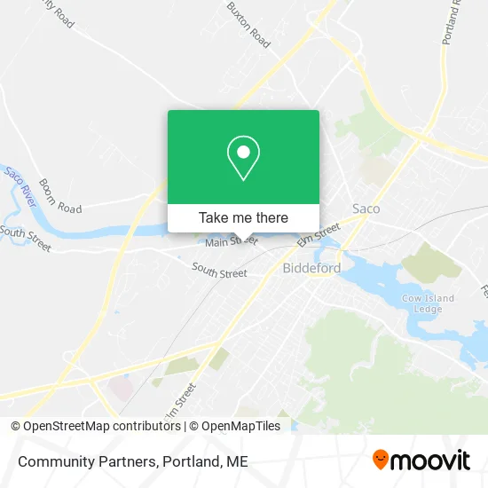
See Community Partners, Biddeford, on the map
Public Transit to Community Partners in Biddeford
Wondering how to get to Community Partners in Biddeford? Moovit helps you find the best way to get to Community Partners with step-by-step directions from the nearest public transit station.
Moovit provides free maps and live directions to help you navigate through your city. View schedules, routes, timetables, and find out how long does it take to get to Community Partners in real time.
Looking for the nearest stop or station to Community Partners? Check out this list of stops closest to your destination: Elm St & Mason St; Mason St & Elm St; Lincoln & Pearl St (Parking Garage); Saco Amtrak Station.
Bus: 52, 60, 50, 51, 54.Train: DOWNEASTER.
Want to see if there’s another route that gets you there at an earlier time? Moovit helps you find alternative routes or times. Get directions from and directions to Community Partners easily from the Moovit App or Website.
We make riding to Community Partners easy, which is why over 1.5 million users, including users in Biddeford, trust Moovit as the best app for public transit. You don’t need to download an individual bus app or train app, Moovit is your all-in-one transit app that helps you find the best bus time or train time available.
For information on prices of bus and train, costs and ride fares to Community Partners, please check the Moovit app.
Use the app to navigate to popular places including to the airport, hospital, stadium, grocery store, mall, coffee shop, school, college, and university.
Community Partners Address: 443 Main St Biddeford, ME 04005 street in Biddeford
- Saco River Acupuncture,
- Dr. Elizabeth Doane Dacm, L.Ac,
- Forever Fit,
- Pristine House Cleaning,
- Maine Coast Roast,
- Sandler Bros Wholesale Fruit & Produce,
- Biddeford/ Saco, Maine,
- Paquet, Yvoen Drywall,
- Ability Equipment,
- Biddeford Regional Ctr of Tech,
- Southern Maine Builders,
- Pool Man,
- Eaton Apartments,
- Cyr Home Services,
- Biddeford School Department,
- York County Veterans Alliance,
- SF Plumbing and Heating,
- Trottier Paving & Maintenance,
- Biddeford City Center,
- Percy's Electric
Places Near Community Partners (Biddeford)
- ZzZzZzZzZzZ, Westbrook,
- Portland International Jetport (PWM) (Portland International Jetport),
- Mercy Hospital - Fore River Campus,
- Casco Bay Ferry Terminal,
- Southern Maine Community College, South Portland,
- Fort Gorges,
- Cape Elizabeth, ME, Cape Elizabeth,
- L. L. Bean Outlet,
- The Old Port,
- Clarion Hotel Portland,
- Portland Transportation Center,
- On a bus to Kennebunkport,
- Exit 45 Park And Ride, South Portland,
- Walmart Scarborough Supercenter,
- Fort Williams Park, Cape Elizabeth,
- Walmart,
- Cross Insurance Arena,
- Jewell Island,
- House Island,
- Maine Medical Center
How to get to popular places in Portland, ME with public transit
Get around Biddeford by public transit!
Traveling around Biddeford has never been so easy. See step by step directions as you travel to any attraction, street or major public transit station. View bus and train schedules, arrival times, service alerts and detailed routes on a map, so you know exactly how to get to anywhere in Biddeford.
When traveling to any destination around Biddeford use Moovit's Live Directions with Get Off Notifications to know exactly where and how far to walk, how long to wait for your line, and how many stops are left. Moovit will alert you when it's time to get off — no need to constantly re-check whether yours is the next stop.
Wondering how to use public transit in Biddeford or how to pay for public transit in Biddeford? Moovit public transit app can help you navigate your way with public transit easily, and at minimum cost. It includes public transit fees, ticket prices, and costs. Looking for a map of Biddeford public transit lines? Moovit public transit app shows all public transit maps in Biddeford with all Bus, Train and Ferry routes and stops on an interactive map.
Portland, ME has 3 transit type(s), including: Bus, Train and Ferry, operated by several transit agencies, including Greater Portland Metro, City of South Portland, Biddeford Saco Old Orchard Beach Transit, Casco Bay Lines, Amtrak, Greyhound-us and FlixBus-us