How to get to Comparsa Balumba by bus?
Click on the bus route to see step by step directions with maps, line arrival times and updated time schedules.
From Villafranco del Guadiana, Badajoz
75 minFrom Parroquia Santa Eulalia, Badajoz
29 minFrom Vega De Sagraja, Badajoz
110 minFrom Retamal de Llerena, Badajoz
41 minFrom El Mercadillo Gevora, Badajoz
78 minFrom Mesón El Cordobés, Badajoz
39 minFrom Sicur, Badajoz
39 minFrom Dulce Noa, Badajoz
36 minFrom Estanco, Badajoz
72 minFrom Reelectro, Badajoz
72 min
Bus stops near Comparsa Balumba in Badajoz
Bus lines to Comparsa Balumba in Badajoz
What are the closest stations to Comparsa Balumba?
The closest stations to Comparsa Balumba are:
- Av. Augusto Vázquez, 3 (Juan González Rodríguez) is 280 meters away, 4 min walk.
- Calle Embarcadero is 409 meters away, 6 min walk.
- Av. Augusto Vázquez, 24 is 414 meters away, 6 min walk.
- Av. Carolina Coronado (Est. Ff.Cc.) is 440 meters away, 6 min walk.
Which bus lines stop near Comparsa Balumba?
These bus lines stop near Comparsa Balumba: L18, LM1.
What’s the nearest bus station to Comparsa Balumba in Badajoz?
The nearest bus station to Comparsa Balumba in Badajoz is Av. Augusto Vázquez, 3 (Juan González Rodríguez). It’s a 4 min walk away.
What time is the first bus to Comparsa Balumba in Badajoz?
The LM1 is the first bus that goes to Comparsa Balumba in Badajoz. It stops nearby at 7:00 AM.
What time is the last bus to Comparsa Balumba in Badajoz?
The LM1 is the last bus that goes to Comparsa Balumba in Badajoz. It stops nearby at 11:00 PM.
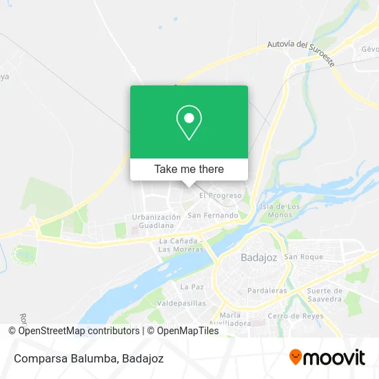
See Comparsa Balumba, Badajoz, on the map
Public Transit to Comparsa Balumba in Badajoz
Wondering how to get to Comparsa Balumba in Badajoz? Moovit helps you find the best way to get to Comparsa Balumba with step-by-step directions from the nearest public transit station.
Moovit provides free maps and live directions to help you navigate through your city. View schedules, routes, timetables, and find out how long does it take to get to Comparsa Balumba in real time.
Looking for the nearest stop or station to Comparsa Balumba? Check out this list of stops closest to your destination: Av. Augusto Vázquez; Calle Embarcadero; Av. Augusto Vázquez; Av. Carolina Coronado (Est. Ff.Cc.).
Bus: L18, LM1, LC2, LC1, L2, L21, L6.
Want to see if there’s another route that gets you there at an earlier time? Moovit helps you find alternative routes or times. Get directions from and directions to Comparsa Balumba easily from the Moovit App or Website.
We make riding to Comparsa Balumba easy, which is why over 1.7 million users, including users in Badajoz, trust Moovit as the best app for public transit. You don’t need to download an individual bus app or train app, Moovit is your all-in-one transit app that helps you find the best bus time or train time available.
For information on prices of bus, costs and ride fares to Comparsa Balumba, please check the Moovit app.
Use the app to navigate to popular places including to the airport, hospital, stadium, grocery store, mall, coffee shop, school, college, and university.
Comparsa Balumba Address: Avenida Antonio Rubio Correa, 5 06006 Badajoz street in Badajoz
- Arteba,
- Pizza Tedi,
- Talleres Bonilla,
- Ribehiso,
- Telepizza Badajoz González Serrano Comida a Domicilio,
- Horno San Fernando,
- Unicesa,
- Talleres D&R,
- Conyur,
- Mahou,
- Complementos Organización y Sistemas,
- Industrias Metalicas Gómez Bernal,
- Aluminios Leandro,
- Repsol,
- Marsu Cars,
- A.S. San Martín .Tiend,
- Visibel Distribución,
- Mercadona,
- Hostelería Puerta Trinidad,
- Mesón Don Quijote
Places Near Comparsa Balumba (Badajoz)
- Consulta de Psiquiatria y Psicoterapia Myriam Mendez Jimenez, Badajoz,
- Hospital Infanta Cristina, Badajoz,
- Campus de la Universidad de Extremadura, Badajoz,
- Hospital Perpetuo Socorro, Badajoz,
- Leroy Merlin, Badajoz,
- Hospital Universitario, Badajoz,
- San Roque, Badajoz,
- Clinica Diagnosticos San Miguel S.l., Badajoz,
- ESTACION DE AUTOBUSES DE BADAJOZ, S.A., Badajoz,
- Poligono Industrial El Nevero, Badajoz,
- EL Corte Ingles, Badajoz,
- Mercadillo, Badajoz,
- Balneario El Raposo S.l., Badajoz,
- Recinto Ferial de Badajoz, Badajoz,
- Polígono el Nevero, Badajoz,
- Renfe, Badajoz,
- Hospital Universitario De Badajoz, Badajoz,
- Clideba, Badajoz,
- Campos de Fútbol "Eusebio Bejarano", Badajoz,
- Centro Comercial El Faro, Badajoz
How to get to popular places in Badajoz with public transit
Get around Badajoz by public transit!
Traveling around Badajoz has never been so easy. See step by step directions as you travel to any attraction, street or major public transit station. View bus and train schedules, arrival times, service alerts and detailed routes on a map, so you know exactly how to get to anywhere in Badajoz.
When traveling to any destination around Badajoz use Moovit's Live Directions with Get Off Notifications to know exactly where and how far to walk, how long to wait for your line, and how many stops are left. Moovit will alert you when it's time to get off — no need to constantly re-check whether yours is the next stop.
Wondering how to use public transit in Badajoz or how to pay for public transit in Badajoz? Moovit public transit app can help you navigate your way with public transit easily, and at minimum cost. It includes public transit fees, ticket prices, and costs. Looking for a map of Badajoz public transit lines? Moovit public transit app shows all public transit maps in Badajoz with all bus routes and stops on an interactive map.
Badajoz has 1 transit type(s), including: bus, operated by several transit agencies, including Tubasa