How to get to Compass Inventor Services by bus?
Click on the bus route to see step by step directions with maps, line arrival times and updated time schedules.
From Las Olas Beach, Fort Lauderdale
55 minFrom W Commercial Blvd & 441 (SR 7), Fort Lauderdale
64 minFrom North Area Transportation Terminal, Pompano Beach
49 minFrom Tri-Rail-Pompano Beach Station, Pompano Beach
54 minFrom Inter Miami CF, Fort Lauderdale
61 minFrom Cam Transfer, Coral Springs-Margate
53 minFrom Jay's Professional Enterprises, Fort Lauderdale
53 minFrom Trapeze Swing Club, Fort Lauderdale
67 minFrom Butterfly World, Pompano Beach
70 minFrom Fort Lauderdale Beach, Fort Lauderdale
54 min
Bus stop near Compass Inventor Services in Pompano Beach
- US 1/Northeast 65th Street, 3 min walk,VIEW
Bus lines to Compass Inventor Services in Pompano Beach
What are the closest stations to Compass Inventor Services?
The closest stations to Compass Inventor Services are:
- US 1/Northeast 65th Street is 197 yards away, 3 min walk.
Which bus lines stop near Compass Inventor Services?
These bus lines stop near Compass Inventor Services: 10, 62.
What’s the nearest bus station to Compass Inventor Services in Pompano Beach?
The nearest bus station to Compass Inventor Services in Pompano Beach is US 1/Northeast 65th Street. It’s a 3 min walk away.
What time is the first bus to Compass Inventor Services in Pompano Beach?
The 62 is the first bus that goes to Compass Inventor Services in Pompano Beach. It stops nearby at 5:17 AM.
What time is the last bus to Compass Inventor Services in Pompano Beach?
The 10 is the last bus that goes to Compass Inventor Services in Pompano Beach. It stops nearby at 11:45 PM.
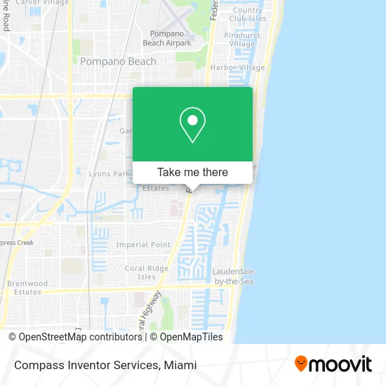
See Compass Inventor Services, Pompano Beach, on the map
Public Transit to Compass Inventor Services in Pompano Beach
Wondering how to get to Compass Inventor Services in Pompano Beach? Moovit helps you find the best way to get to Compass Inventor Services with step-by-step directions from the nearest public transit station.
Moovit provides free maps and live directions to help you navigate through your city. View schedules, routes, timetables, and find out how long does it take to get to Compass Inventor Services in real time.
Looking for the nearest stop or station to Compass Inventor Services? Check out this list of stops closest to your destination: US 1/Northeast 65th Street.
Bus: 10, 62.
Want to see if there’s another route that gets you there at an earlier time? Moovit helps you find alternative routes or times. Get directions from and directions to Compass Inventor Services easily from the Moovit App or Website.
We make riding to Compass Inventor Services easy, which is why over 1.5 million users, including users in Pompano Beach, trust Moovit as the best app for public transit. You don’t need to download an individual bus app or train app, Moovit is your all-in-one transit app that helps you find the best bus time or train time available.
For information on prices of bus, costs and ride fares to Compass Inventor Services, please check the Moovit app.
Use the app to navigate to popular places including to the airport, hospital, stadium, grocery store, mall, coffee shop, school, college, and university.
Compass Inventor Services Address: 1600 S Federal Hwy Pompano Beach, FL 33062 street in Pompano Beach
- Ingrid Dominguesmcconville,
- Fried Law Group,
- Dm Visa Law,
- Ann B Breuer MD,
- Danzinger Barry M CPA,
- Martinelli & Co,
- Coastal Claim Consultants,
- Mark J Miller PA;Attorney,
- Wallis & Wallis, PA,
- Otox News,
- Side Impact Collisions,
- Bottom Line Builders,
- Famous Dog,
- E McNab Rd / S Federal Hwy,
- Minuteclinic (CVS Pharmacy),
- Avana Bayview,
- Clinica De Las Americas,
- Josh Kaplan,
- James Lozano,
- Swathi Ranieri
Places Near Compass Inventor Services (Pompano Beach)
- Bayside Marketplace, Miami,
- Marlins Park, Miami,
- Aventura Mall, Miami,
- Keiser University Flagship Campus, West Palm Beach,
- Dolphin Mall, Miami,
- Richard E. Gerstein Justice Building, Miami,
- Hard Rock Stadium, Miami Gardens,
- Port of Miami Cruise Terminal, Miami,
- Little Havana, Miami,
- Brickell City Centre, Miami,
- Dolphin Mall Bus, Miami,
- Miami Design District, Miami,
- Wynwood, Miami,
- Sawgrass mall ( FL ), Miami Beach,
- Miami-Dade County Courthouse, Miami,
- Sawgrass Mall, Miami,
- Zoo Miami, Miami,
- Miami VA Hospital, Miami,
- Aventura Mall, Miami Beach,
- Miami Freedom Park, Miami
How to get to popular places in Miami with public transit
Get around Pompano Beach by public transit!
Traveling around Pompano Beach has never been so easy. See step by step directions as you travel to any attraction, street or major public transit station. View bus and train schedules, arrival times, service alerts and detailed routes on a map, so you know exactly how to get to anywhere in Pompano Beach.
When traveling to any destination around Pompano Beach use Moovit's Live Directions with Get Off Notifications to know exactly where and how far to walk, how long to wait for your line, and how many stops are left. Moovit will alert you when it's time to get off — no need to constantly re-check whether yours is the next stop.
Wondering how to use public transit in Pompano Beach or how to pay for public transit in Pompano Beach? Moovit public transit app can help you navigate your way with public transit easily, and at minimum cost. It includes public transit fees, ticket prices, and costs. Looking for a map of Pompano Beach public transit lines? Moovit public transit app shows all public transit maps in Pompano Beach with all Bus, Train, Light Rail and Ferry routes and stops on an interactive map.
Miami has 4 transit type(s), including: Bus, Train, Light Rail and Ferry, operated by several transit agencies, including Broward County Transit, Miami-Dade Transit, Metrorail, Palm Tran, Tri-Rail, Brightline, MARTY, City of Homestead Trolley, Key West Transit, Treasure Coast Connector, GoLine IRT, Amtrak, Greyhound-us, FlixBus-us and Aventura Express Shuttle Bus