How to get to Compass One by bus?
Click on the bus route to see step by step directions with maps, line arrival times and updated time schedules.
From 2655 S Le Jeune Rd, Miami
77 minFrom Social Security Administration Office Hialeah Branch, Hialeah
104 minFrom Publix, Miami
77 minFrom Hialeah-Miami Lakes Senior High School, Hialeah
77 minFrom Consulado General de España en Miami, Miami
77 minFrom Consulado General de Colombia, Miami
74 minFrom Macy's International Mall, Miami
53 minFrom Colombian Consulate, Miami
76 minFrom MIA Mover, Miami
71 minFrom MDT Metrorail - Hialeah Station, Hialeah
62 min
Bus stops near Compass One in North Westside
Bus lines to Compass One in North Westside
What are the closest stations to Compass One?
The closest stations to Compass One are:
- Nw 87 Av & Nw 33 St is 87 yards away, 2 min walk.
- Nw 87 Av & Op # 3655 is 95 yards away, 2 min walk.
- Nw 87 Av & # 3737 is 120 yards away, 2 min walk.
- Tony Romas Nw 33 St@nw 87 Ave is 319 yards away, 4 min walk.
- Nw 36 St & 87 Av is 330 yards away, 4 min walk.
Which bus lines stop near Compass One?
These bus lines stop near Compass One: 132, 87.
What’s the nearest bus station to Compass One in North Westside?
The nearest bus stations to Compass One in North Westside are Nw 87 Av & Nw 33 St, Nw 87 Av & Op # 3655 and Nw 87 Av & # 3737. The closest one is a 2 min walk away.
What time is the first bus to Compass One in North Westside?
The 87 is the first bus that goes to Compass One in North Westside. It stops nearby at 5:19 AM.
What time is the last bus to Compass One in North Westside?
The 87 is the last bus that goes to Compass One in North Westside. It stops nearby at 11:05 PM.
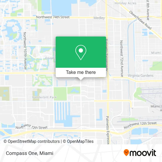
See Compass One, North Westside, on the map
Public Transit to Compass One in North Westside
Wondering how to get to Compass One in North Westside? Moovit helps you find the best way to get to Compass One with step-by-step directions from the nearest public transit station.
Moovit provides free maps and live directions to help you navigate through your city. View schedules, routes, timetables, and find out how long does it take to get to Compass One in real time.
Looking for the nearest stop or station to Compass One? Check out this list of stops closest to your destination: Nw 87 Av & Nw 33 St; Nw 87 Av & Op # 3655; Nw 87 Av & # 3737; Tony Romas Nw 33 St@nw 87 Ave; Nw 36 St & 87 Av.
Bus: 132, 87, DLOOP1, 95, DLOOP2.
Want to see if there’s another route that gets you there at an earlier time? Moovit helps you find alternative routes or times. Get directions from and directions to Compass One easily from the Moovit App or Website.
We make riding to Compass One easy, which is why over 1.5 million users, including users in North Westside, trust Moovit as the best app for public transit. You don’t need to download an individual bus app or train app, Moovit is your all-in-one transit app that helps you find the best bus time or train time available.
For information on prices of bus and train, costs and ride fares to Compass One, please check the Moovit app.
Use the app to navigate to popular places including to the airport, hospital, stadium, grocery store, mall, coffee shop, school, college, and university.
Compass One Address: 3655 NW 87th Ave Miami, FL 33178 street in North Westside
- Mondongo's Restaurant (Mondongos Restaurant),
- Ross Dress for Less 22,
- Miu's Tea,
- Homegoods - Coming Soon,
- Northwest 87th Avenue & Northwest 33rd Street,
- Sun Orchard,
- US Department of Transportation Coast Guard,
- AT&T,
- Just Salad,
- Akashic Records,
- OBE Power Networks,
- One Medical: Doral Square,
- Expriva,
- Alsac St Jude's Children,
- Martin Lenta,
- Quest Workspaces Two Doral,
- Consulate General of Bolivia,
- R Figueroa,
- Doral Cente Parking Lot,
- D&H Service Group
Places Near Compass One (North Westside)
- Zoo Miami, Miami,
- Marlins Park, Miami,
- Miami Freedom Park, Miami,
- Sawgrass Mall, Miami,
- Dolphin Mall, Miami,
- Brickell City Centre, Miami,
- Little Havana, Miami,
- Miami VA Hospital, Miami,
- Miami-Dade County Courthouse, Miami,
- Wynwood, Miami,
- Port of Miami Cruise Terminal, Miami,
- Hard Rock Stadium, Miami Gardens,
- Bayside Marketplace, Miami,
- Sawgrass mall ( FL ), Miami Beach,
- Aventura Mall, Miami Beach,
- Keiser University Flagship Campus, West Palm Beach,
- Dolphin Mall Bus, Miami,
- Aventura Mall, Miami,
- Miami Design District, Miami,
- Richard E. Gerstein Justice Building, Miami
How to get to popular places in Miami with public transit
Get around North Westside by public transit!
Traveling around North Westside has never been so easy. See step by step directions as you travel to any attraction, street or major public transit station. View bus and train schedules, arrival times, service alerts and detailed routes on a map, so you know exactly how to get to anywhere in North Westside.
When traveling to any destination around North Westside use Moovit's Live Directions with Get Off Notifications to know exactly where and how far to walk, how long to wait for your line, and how many stops are left. Moovit will alert you when it's time to get off — no need to constantly re-check whether yours is the next stop.
Wondering how to use public transit in North Westside or how to pay for public transit in North Westside? Moovit public transit app can help you navigate your way with public transit easily, and at minimum cost. It includes public transit fees, ticket prices, and costs. Looking for a map of North Westside public transit lines? Moovit public transit app shows all public transit maps in North Westside with all Bus, Train, Light Rail and Ferry routes and stops on an interactive map.
Miami has 4 transit type(s), including: Bus, Train, Light Rail and Ferry, operated by several transit agencies, including Broward County Transit, Miami-Dade Transit, Metrorail, Palm Tran, Tri-Rail, Brightline, MARTY, City of Homestead Trolley, Key West Transit, Treasure Coast Connector, GoLine IRT, Amtrak, Greyhound-us, FlixBus-us and Aventura Express Shuttle Bus