How to get to Complete Elevator Systems by bus?
Click on the bus route to see step by step directions with maps, line arrival times and updated time schedules.
From Opa-Locka Hialeah Flea Market, Miami
148 minFrom HIALEAH FLAMINGO NORTH ROUTE, North Westside
116 minFrom Social Security Administration, Miramar-Pembroke Pines
263 minFrom NW 186 St &, Hialeah
81 minFrom US Post Office Royal Palm Processing & Distribution Center, Miami
114 minFrom Amelia Earhart Park, Miami
112 minFrom Amazon Fulfillment Center - MIA1, Miami
110 minFrom The Institute of Contemporary Art Miami, North Westside
130 minFrom Westland Hialeah Senior High School, Hialeah
55 minFrom W 49th St / NW 103rd St, Hialeah
73 min
Bus stop near Complete Elevator Systems in Hialeah
- Nw 102nd Ave @ W 108th St, 2 min walk,VIEW
Bus lines to Complete Elevator Systems in Hialeah
- HIAFLA, City Of Hialeah Transit (Flamingo),VIEW
What are the closest stations to Complete Elevator Systems?
The closest stations to Complete Elevator Systems are:
- Nw 102nd Ave @ W 108th St is 159 yards away, 2 min walk.
Which bus lines stop near Complete Elevator Systems?
These bus lines stop near Complete Elevator Systems: HIAFLA, HIAMAR.
What’s the nearest bus station to Complete Elevator Systems in Hialeah?
The nearest bus station to Complete Elevator Systems in Hialeah is Nw 102nd Ave @ W 108th St. It’s a 2 min walk away.
What time is the first bus to Complete Elevator Systems in Hialeah?
The HIAFLA is the first bus that goes to Complete Elevator Systems in Hialeah. It stops nearby at 6:00 AM.
What time is the last bus to Complete Elevator Systems in Hialeah?
The HIAFLA is the last bus that goes to Complete Elevator Systems in Hialeah. It stops nearby at 8:25 PM.
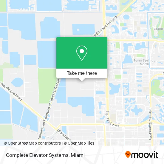
See Complete Elevator Systems, Hialeah, on the map
Public Transit to Complete Elevator Systems in Hialeah
Wondering how to get to Complete Elevator Systems in Hialeah? Moovit helps you find the best way to get to Complete Elevator Systems with step-by-step directions from the nearest public transit station.
Moovit provides free maps and live directions to help you navigate through your city. View schedules, routes, timetables, and find out how long does it take to get to Complete Elevator Systems in real time.
Looking for the nearest stop or station to Complete Elevator Systems? Check out this list of stops closest to your destination: Nw 102nd Ave @ W 108th St.
Bus: HIAFLA, HIAMAR.
Want to see if there’s another route that gets you there at an earlier time? Moovit helps you find alternative routes or times. Get directions from and directions to Complete Elevator Systems easily from the Moovit App or Website.
We make riding to Complete Elevator Systems easy, which is why over 1.5 million users, including users in Hialeah, trust Moovit as the best app for public transit. You don’t need to download an individual bus app or train app, Moovit is your all-in-one transit app that helps you find the best bus time or train time available.
For information on prices of bus and train, costs and ride fares to Complete Elevator Systems, please check the Moovit app.
Use the app to navigate to popular places including to the airport, hospital, stadium, grocery store, mall, coffee shop, school, college, and university.
Complete Elevator Systems Address: 4151 W 108th St Hialeah, FL 33018 street in Hialeah
- Ams,
- All Media Supply,
- Strybuc Industries,
- Ciao Imports,
- The Home Depot Distribution Center,
- Rite Screen,
- Seven Point Equity Partners,
- Lineage,
- Landing Gear Technologies, LLC,
- Pods Moving & Storage,
- Bolivar Trading,
- Nearly Natural,
- KLX Aerospace,
- Boeing,
- South Florida Autism Charter School,
- Hyde Shipping Corporation,
- MD Turbines,
- ChargePoint,
- Anima Domus,
- Blink Charging
Places Near Complete Elevator Systems (Hialeah)
- Miami Freedom Park, Miami,
- Wynwood, Miami,
- Hard Rock Stadium, Miami Gardens,
- Sawgrass mall ( FL ), Miami Beach,
- Aventura Mall, Miami,
- Sawgrass Mall, Miami,
- Dolphin Mall, Miami,
- Miami VA Hospital, Miami,
- Zoo Miami, Miami,
- Aventura Mall, Miami Beach,
- Richard E. Gerstein Justice Building, Miami,
- Keiser University Flagship Campus, West Palm Beach,
- Port of Miami Cruise Terminal, Miami,
- Little Havana, Miami,
- Brickell City Centre, Miami,
- Bayside Marketplace, Miami,
- Marlins Park, Miami,
- Dolphin Mall Bus, Miami,
- Miami-Dade County Courthouse, Miami,
- Miami Design District, Miami
How to get to popular places in Miami with public transit
Get around Hialeah by public transit!
Traveling around Hialeah has never been so easy. See step by step directions as you travel to any attraction, street or major public transit station. View bus and train schedules, arrival times, service alerts and detailed routes on a map, so you know exactly how to get to anywhere in Hialeah.
When traveling to any destination around Hialeah use Moovit's Live Directions with Get Off Notifications to know exactly where and how far to walk, how long to wait for your line, and how many stops are left. Moovit will alert you when it's time to get off — no need to constantly re-check whether yours is the next stop.
Wondering how to use public transit in Hialeah or how to pay for public transit in Hialeah? Moovit public transit app can help you navigate your way with public transit easily, and at minimum cost. It includes public transit fees, ticket prices, and costs. Looking for a map of Hialeah public transit lines? Moovit public transit app shows all public transit maps in Hialeah with all Bus, Train, Light Rail and Ferry routes and stops on an interactive map.
Miami has 4 transit type(s), including: Bus, Train, Light Rail and Ferry, operated by several transit agencies, including Broward County Transit, Miami-Dade Transit, Metrorail, Palm Tran, Tri-Rail, Brightline, MARTY, City of Homestead Trolley, Key West Transit, Treasure Coast Connector, GoLine IRT, Amtrak, Greyhound-us, FlixBus-us and Aventura Express Shuttle Bus