Directions to Computer Services Unlimited (Anne Arundel County) with public transportation
The following transit lines have routes that pass near Computer Services Unlimited
 Bus: 75.
How to get to Computer Services Unlimited by bus?
Click on the bus route to see step by step directions with maps, line arrival times and updated time schedules.
From University Of Maryland Medical Center, Baltimore
53 minFrom Pigtown / Washington Village, Baltimore
61 minFrom Downtown Baltimore, Baltimore
66 minFrom Mitchell Court House, Baltimore
69 minFrom Clarence M. Mitchell, Jr. Courthouse, Baltimore
68 minFrom Baltimore Soundstage, Baltimore
62 minFrom Baltimore City Circuit Court, Baltimore
69 minFrom Horseshoe Baltimore, Baltimore
49 minFrom Glen Burnie, MD, Anne Arundel County
57 minFrom Baltimore Marriott Waterfront, Baltimore
68 min
Bus stop near Computer Services Unlimited in Anne Arundel County
- Aero Dr & Corporate Blvd, 9 min walk,VIEW
Light Rail stations near Computer Services Unlimited in Anne Arundel County
- Bwi Business District, 49 min walk,VIEW
Bus lines to Computer Services Unlimited in Anne Arundel County
- 75, Arundel Mills Via Greyhound,VIEW
What are the closest stations to Computer Services Unlimited?
The closest stations to Computer Services Unlimited are:
- Aero Dr & Corporate Blvd is 722 yards away, 9 min walk.
- Bwi Business District is 4156 yards away, 49 min walk.
Which bus line stops near Computer Services Unlimited?
75 (Arundel Mills Shopping Center)
What’s the nearest bus station to Computer Services Unlimited in Anne Arundel County?
The nearest bus station to Computer Services Unlimited in Anne Arundel County is Aero Dr & Corporate Blvd. It’s a 9 min walk away.
What time is the first light rail to Computer Services Unlimited in Anne Arundel County?
The LIGHT RAILLINK is the first light rail that goes to Computer Services Unlimited in Anne Arundel County. It stops nearby at 4:37 AM.
What time is the last light rail to Computer Services Unlimited in Anne Arundel County?
The LIGHT RAILLINK is the last light rail that goes to Computer Services Unlimited in Anne Arundel County. It stops nearby at 12:48 AM.
What time is the first bus to Computer Services Unlimited in Anne Arundel County?
The 75 is the first bus that goes to Computer Services Unlimited in Anne Arundel County. It stops nearby at 3:17 AM.
What time is the last bus to Computer Services Unlimited in Anne Arundel County?
The 75 is the last bus that goes to Computer Services Unlimited in Anne Arundel County. It stops nearby at 2:37 AM.
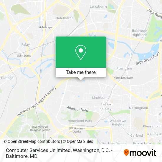
See Computer Services Unlimited, Anne Arundel County, on the map
Public Transit to Computer Services Unlimited in Anne Arundel County
Wondering how to get to Computer Services Unlimited in Anne Arundel County? Moovit helps you find the best way to get to Computer Services Unlimited with step-by-step directions from the nearest public transit station.
Moovit provides free maps and live directions to help you navigate through your city. View schedules, routes, timetables, and find out how long does it take to get to Computer Services Unlimited in real time.
Looking for the nearest stop or station to Computer Services Unlimited? Check out this list of stops closest to your destination: Aero Dr & Corporate Blvd; Bwi Business District.
Bus: 75.
Want to see if there’s another route that gets you there at an earlier time? Moovit helps you find alternative routes or times. Get directions from and directions to Computer Services Unlimited easily from the Moovit App or Website.
We make riding to Computer Services Unlimited easy, which is why over 1.5 million users, including users in Anne Arundel County, trust Moovit as the best app for public transit. You don’t need to download an individual bus app or train app, Moovit is your all-in-one transit app that helps you find the best bus time or train time available.
For information on prices of bus and light rail, costs and ride fares to Computer Services Unlimited, please check the Moovit app.
Use the app to navigate to popular places including to the airport, hospital, stadium, grocery store, mall, coffee shop, school, college, and university.
Computer Services Unlimited Address: 971 Corporate Blvd Linthicum Heights, MD 21090 street in Anne Arundel County
- MCC,
- Maritime Conference Center (Maritime Institute Technology),
- Gurs,
- Made by Manda,
- Her Breakthrough,
- Kamaria's Cleaning,
- Zen Windows,
- Hernandez I,
- Sosa Floors,
- M & J Firearms Training,
- Just in Time Lawncare,
- A.M.N. Landscaping,
- Nikki S Couture Brows,
- Barnes Masonry Restoration,
- Cars by Kamil,
- Cag Properties,
- US Postal Service Incoming Mail Faclity (Imf(Incoming Mail Facility) Linthicum Heights- USPS),
- Entrance MD-295 N,
- Secu University,
- Holiday Inn Express & Suites Baltimore - BWI Airport North (Wingate Hotel Linthicum)
Places Near Computer Services Unlimited (Anne Arundel County)
- Warner Theatre, Washington,
- Basilica of the National Shrine, Washington,
- Washington DC VA Medical Center, Washington,
- Rock Creek Tennis Center, Washington,
- Sibley Memorial Hospital, Washington,
- Washington National Cathedral, Washington,
- Georgetown, Washington,
- Amazon Hq2, Arlington County,
- National Mall, Washington,
- The Anthem, Washington,
- Marriott Marquis Washington, DC, Washington,
- PG Mall, Prince George's County,
- Westfield Montgomery Mall, Montgomery County,
- Camden Yards, Baltimore,
- Pennsylvania Ave NW (3rd st and pennsylvania), Washington,
- National Museum of African American History and Culture, Washington,
- Museum Of The Bible, Washington,
- M&T Bank Stadium, Baltimore,
- National Zoo, Washington,
- Capital One Arena, Washington
How to get to popular places in Washington, D.C. - Baltimore, MD with public transit
Get around Anne Arundel County by public transit!
Traveling around Anne Arundel County has never been so easy. See step by step directions as you travel to any attraction, street or major public transit station. View bus and train schedules, arrival times, service alerts and detailed routes on a map, so you know exactly how to get to anywhere in Anne Arundel County.
When traveling to any destination around Anne Arundel County use Moovit's Live Directions with Get Off Notifications to know exactly where and how far to walk, how long to wait for your line, and how many stops are left. Moovit will alert you when it's time to get off — no need to constantly re-check whether yours is the next stop.
Wondering how to use public transit in Anne Arundel County or how to pay for public transit in Anne Arundel County? Moovit public transit app can help you navigate your way with public transit easily, and at minimum cost. It includes public transit fees, ticket prices, and costs. Looking for a map of Anne Arundel County public transit lines? Moovit public transit app shows all public transit maps in Anne Arundel County with all Bus, Train, Metro, Light Rail and Ferry routes and stops on an interactive map.
Washington, D.C. - Baltimore, MD has 5 transit type(s), including: Bus, Train, Metro, Light Rail and Ferry, operated by several transit agencies, including WMATA, Montgomery County Ride On, Fairfax Connector, TheBus, PRTC, DASH - Alexandria, Arlington Transit (ART), RTA of Central Maryland, MDOT MTA, MDOT MTA Light RailLink, MDOT MTA Commuter Bus, MDOT MTA Local Bus, FXBGO!, Virginia Railway Express (VRE) and MARC