How to get to Consultorio by bus?
Click on the bus route to see step by step directions with maps, line arrival times and updated time schedules.
From Hospital Cardiologica Aguascalientes, Aguascalientes
39 minFrom Hotel Fiesta Inn, Aguascalientes
54 minFrom Lopez Mateos y Convencion, Aguascalientes
46 minFrom Fracc Rinconada Jesús María, Aguascalientes
89 minFrom Fracc. Versalles 2da. Sección, Aguascalientes
56 minFrom Neurologo Geronimo Aguayo Leytte, Aguascalientes
31 minFrom Fraccionamiento Puesta del Sol, Aguascalientes
67 minFrom Parque Recreativo Benito Juarez, Aguascalientes
56 minFrom Fracc. Santa Imelda, Aguascalientes
59 minFrom Fraccionamiento Villa Gernika, Aguascalientes
53 min
Bus stops near Consultorio in Aguascalientes
Bus lines to Consultorio in Aguascalientes
What are the closest stations to Consultorio?
The closest stations to Consultorio are:
- Ermita De San Sebastián, 904 is 293 meters away, 4 min walk.
- Av.Valle De Los Romeros, 1126 is 572 meters away, 8 min walk.
Which bus lines stop near Consultorio?
These bus lines stop near Consultorio: RUTA 23, RUTA 30, RUTA 37, RUTA 43.
What’s the nearest bus station to Consultorio in Aguascalientes?
The nearest bus station to Consultorio in Aguascalientes is Ermita De San Sebastián, 904. It’s a 4 min walk away.
What time is the first bus to Consultorio in Aguascalientes?
The RUTA 30 is the first bus that goes to Consultorio in Aguascalientes. It stops nearby at 5:52 AM.
What time is the last bus to Consultorio in Aguascalientes?
The RUTA 43 is the last bus that goes to Consultorio in Aguascalientes. It stops nearby at 10:46 PM.
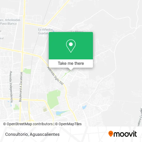
See Consultorio, Aguascalientes, on the map
Public Transit to Consultorio in Aguascalientes
Wondering how to get to Consultorio in Aguascalientes? Moovit helps you find the best way to get to Consultorio with step-by-step directions from the nearest public transit station.
Moovit provides free maps and live directions to help you navigate through your city. View schedules, routes, timetables, and find out how long does it take to get to Consultorio in real time.
Looking for the nearest stop or station to Consultorio? Check out this list of stops closest to your destination: Ermita De San Sebastián; Av.Valle De Los Romeros.
Bus: RUTA 23, RUTA 30, RUTA 37, RUTA 43, RUTA 08, RUTA 34.
Want to see if there’s another route that gets you there at an earlier time? Moovit helps you find alternative routes or times. Get directions from and directions to Consultorio easily from the Moovit App or Website.
We make riding to Consultorio easy, which is why over 1.5 million users, including users in Aguascalientes, trust Moovit as the best app for public transit. You don’t need to download an individual bus app or train app, Moovit is your all-in-one transit app that helps you find the best bus time or train time available.
For information on prices of bus, costs and ride fares to Consultorio, please check the Moovit app.
Use the app to navigate to popular places including to the airport, hospital, stadium, grocery store, mall, coffee shop, school, college, and university.
Consultorio Address: Consultorio, Calle Jerónimo de la Cueva, Ntra Sra de la Asunción Sector Gpe, 20126 Aguascalientes, street in Aguascalientes
- VENTA DE PAPAS FRITAS,
- Escuela Emmi Pikler,
- Plaza Comunitaria Inepja Villas de Nuestra Señora de la Asuncion Sector Estacion,
- Refaccionaria Aaron,
- Venta de Helados y Paletas,
- Auto Electrico,
- Cisneros Lara, ma. Guadalupe,
- Refaccionaria San Juan,
- Cooperative Escolar Mahatma Gandhi Tm y TV,
- Abts Olivers,
- Taqueria Geronimo,
- Plantel Conalep 284 Aguascalientes III,
- Hamburguesas Scrat,
- Epi Especialistas en Pisos Industriales,
- WESTERN UNION,
- MoneyGram,
- Birrieria Independencia,
- La Michoacana,
- Venta de Ropa Interior,
- Sucursal Villa La Asunción
Places Near Consultorio (Aguascalientes)
- Central De Autobuses, Aguascalientes,
- Parque Las Tres Centurias, Aguascalientes,
- Imss Clinica 1, Aguascalientes,
- Blvd. Luis Donaldo Colosio, Aguascalientes,
- Hospital Imss No. 3, Aguascalientes,
- Universidad Autónoma de Aguascalientes, Aguascalientes,
- Jesús María, Aguascalientes,
- La Isla San Marcos, Aguascalientes,
- Centro, Aguascalientes,
- Villasuncion, Aguascalientes,
- Villas de Nuestra Señora de la Asunción, Aguascalientes,
- Centro Comercial Altaria, Aguascalientes,
- Agropecuario, Aguascalientes,
- Ciudad industrial, Aguascalientes,
- Terminal De Combis, Aguascalientes,
- Aeropuerto de Aguascalientes S.A. de C.V., Aguascalientes,
- clinica 3 uaa, Aguascalientes,
- Isla San Marcos, Aguascalientes,
- ESPACIOS, Aguascalientes,
- Nuevo Hospital Hidalgo, Aguascalientes
How to get to popular places in Aguascalientes with public transit
Get around Aguascalientes by public transit!
Traveling around Aguascalientes has never been so easy. See step by step directions as you travel to any attraction, street or major public transit station. View bus and train schedules, arrival times, service alerts and detailed routes on a map, so you know exactly how to get to anywhere in Aguascalientes.
When traveling to any destination around Aguascalientes use Moovit's Live Directions with Get Off Notifications to know exactly where and how far to walk, how long to wait for your line, and how many stops are left. Moovit will alert you when it's time to get off — no need to constantly re-check whether yours is the next stop.
Wondering how to use public transit in Aguascalientes or how to pay for public transit in Aguascalientes? Moovit public transit app can help you navigate your way with public transit easily, and at minimum cost. It includes public transit fees, ticket prices, and costs. Looking for a map of Aguascalientes public transit lines? Moovit public transit app shows all public transit maps in Aguascalientes with all bus routes and stops on an interactive map.
Aguascalientes has 1 transit type(s), including: bus, operated by several transit agencies, including Coordinación General de Movilidad