How to get to Converse by bus?
Click on the bus route to see step by step directions with maps, line arrival times and updated time schedules.
From HIALEAH FLAMINGO NORTH ROUTE, North Westside
84 minFrom Clarion Inn & Suites Miami Airport, Miami
59 minFrom Bang Bros., North Westside
76 minFrom Hialeah Gardens, Hialeah
68 minFrom Tropical Park, Miami
79 minFrom Macy's- Dadeland Mall, Miami
60 minFrom Florida National University (FNU), Hialeah
132 minFrom Westland Hialeah Senior High School, Hialeah
131 minFrom Terminal Aeropuerto Internacional del Miami, Miami
128 minFrom Florida Lottery, Miami
128 min
Bus stops near Converse in North Westside
Bus lines to Converse in North Westside
What are the closest stations to Converse?
The closest stations to Converse are:
- Nw 17 St @ Nw 112 Av is 664 yards away, 9 min walk.
- Nw 17 St & Nw 112 Av is 694 yards away, 9 min walk.
- Dolphin Mall is 704 yards away, 9 min walk.
Which bus lines stop near Converse?
These bus lines stop near Converse: 107, 7.
What’s the nearest bus station to Converse in North Westside?
The nearest bus stations to Converse in North Westside are Nw 17 St @ Nw 112 Av, Nw 17 St & Nw 112 Av and Dolphin Mall. The closest one is a 9 min walk away.
What time is the first bus to Converse in North Westside?
The 7 is the first bus that goes to Converse in North Westside. It stops nearby at 4:50 AM.
What time is the last bus to Converse in North Westside?
The 107 is the last bus that goes to Converse in North Westside. It stops nearby at 12:53 AM.
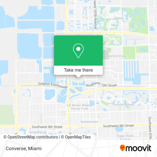
See Converse, North Westside, on the map
Public Transit to Converse in North Westside
Wondering how to get to Converse in North Westside? Moovit helps you find the best way to get to Converse with step-by-step directions from the nearest public transit station.
Moovit provides free maps and live directions to help you navigate through your city. View schedules, routes, timetables, and find out how long does it take to get to Converse in real time.
Looking for the nearest stop or station to Converse? Check out this list of stops closest to your destination: Nw 17 St @ Nw 112 Av; Nw 17 St & Nw 112 Av; Dolphin Mall.
Bus: 107, 7, 137, DLOOP1, SWTWTA, SWTWTB, 338.
Want to see if there’s another route that gets you there at an earlier time? Moovit helps you find alternative routes or times. Get directions from and directions to Converse easily from the Moovit App or Website.
We make riding to Converse easy, which is why over 1.5 million users, including users in North Westside, trust Moovit as the best app for public transit. You don’t need to download an individual bus app or train app, Moovit is your all-in-one transit app that helps you find the best bus time or train time available.
For information on prices of bus and light rail, costs and ride fares to Converse, please check the Moovit app.
Use the app to navigate to popular places including to the airport, hospital, stadium, grocery store, mall, coffee shop, school, college, and university.
Converse Address: 11401 NW 12th St street in North Westside
- Comertrade Corp.,
- DHL Express Servicepoint,
- The North Face,
- Motherhood Maternity Outlet,
- Fat Tuesday,
- GAP,
- Aroma Lamps & Oils,
- Kate Spade,
- Clarks Bostonian Outlet,
- World Luggage,
- Unlock GSM World Phones (Unlocked Phones and Re),
- Champ Sports,
- Lebiram Jewelry,
- Torrid,
- Cotton on,
- Florsheim,
- CMX Brickell City Centre,
- SWAROVSKI,
- Dolphin Parking Lot,
- Alma by Angel de la Guarda
Places Near Converse (North Westside)
- Zoo Miami, Miami,
- Wynwood, Miami,
- Miami Design District, Miami,
- Keiser University Flagship Campus, West Palm Beach,
- Hard Rock Stadium, Miami Gardens,
- Dolphin Mall Bus, Miami,
- Miami Freedom Park, Miami,
- Miami-Dade County Courthouse, Miami,
- Aventura Mall, Miami,
- Brickell City Centre, Miami,
- Richard E. Gerstein Justice Building, Miami,
- Marlins Park, Miami,
- Sawgrass mall ( FL ), Miami Beach,
- Bayside Marketplace, Miami,
- Little Havana, Miami,
- Sawgrass Mall, Miami,
- Miami VA Hospital, Miami,
- Dolphin Mall, Miami,
- Aventura Mall, Miami Beach,
- Port of Miami Cruise Terminal, Miami
How to get to popular places in Miami with public transit
Get around North Westside by public transit!
Traveling around North Westside has never been so easy. See step by step directions as you travel to any attraction, street or major public transit station. View bus and train schedules, arrival times, service alerts and detailed routes on a map, so you know exactly how to get to anywhere in North Westside.
When traveling to any destination around North Westside use Moovit's Live Directions with Get Off Notifications to know exactly where and how far to walk, how long to wait for your line, and how many stops are left. Moovit will alert you when it's time to get off — no need to constantly re-check whether yours is the next stop.
Wondering how to use public transit in North Westside or how to pay for public transit in North Westside? Moovit public transit app can help you navigate your way with public transit easily, and at minimum cost. It includes public transit fees, ticket prices, and costs. Looking for a map of North Westside public transit lines? Moovit public transit app shows all public transit maps in North Westside with all Bus, Train, Light Rail and Ferry routes and stops on an interactive map.
Miami has 4 transit type(s), including: Bus, Train, Light Rail and Ferry, operated by several transit agencies, including Broward County Transit, Miami-Dade Transit, Metrorail, Palm Tran, Tri-Rail, Brightline, MARTY, City of Homestead Trolley, Key West Transit, Treasure Coast Connector, GoLine IRT, Amtrak, Greyhound-us, FlixBus-us and Aventura Express Shuttle Bus