Directions to Cooking Collaborative (Kendale Lakes-Tamiami) with public transportation
The following transit lines have routes that pass near Cooking Collaborative
 Bus: 137.
How to get to Cooking Collaborative by bus?
Click on the bus route to see step by step directions with maps, line arrival times and updated time schedules.
From Coral Reef Senior High School, Kendall-Palmetto Bay
47 minFrom SW 122 Ave & Coral Way, Kendale Lakes-Tamiami
85 minFrom SW 144th Street & US1, Kendall-Palmetto Bay
53 minFrom Baptist Hospital, Kendall-Palmetto Bay
55 minFrom Southwest Miami Senior High School, South Westside
82 minFrom Miami-Dade County Fair and Exposition, South Westside
80 minFrom METRORail-Dadeland South Station, Kendall-Palmetto Bay
53 minFrom SW 104th St / US-1, Kendall-Palmetto Bay
72 minFrom BrandsMart USA, Kendall-Palmetto Bay
52 minFrom John A. Ferguson Senior High School, Kendale Lakes-Tamiami
79 min
Bus stop near Cooking Collaborative in Kendale Lakes-Tamiami
- Sw 137 Av @ Sw 120 St, 9 min walk,VIEW
Bus lines to Cooking Collaborative in Kendale Lakes-Tamiami
- 137, 137 - Dolphin Mall Terminal,VIEW
What are the closest stations to Cooking Collaborative?
The closest stations to Cooking Collaborative are:
- Sw 137 Av @ Sw 120 St is 677 yards away, 9 min walk.
Which bus line stops near Cooking Collaborative?
137 (137 - Dolphin Mall Terminal)
What’s the nearest bus station to Cooking Collaborative in Kendale Lakes-Tamiami?
The nearest bus station to Cooking Collaborative in Kendale Lakes-Tamiami is Sw 137 Av @ Sw 120 St. It’s a 9 min walk away.
What time is the first bus to Cooking Collaborative in Kendale Lakes-Tamiami?
The 137 is the first bus that goes to Cooking Collaborative in Kendale Lakes-Tamiami. It stops nearby at 6:03 AM.
What time is the last bus to Cooking Collaborative in Kendale Lakes-Tamiami?
The 137 is the last bus that goes to Cooking Collaborative in Kendale Lakes-Tamiami. It stops nearby at 11:44 PM.
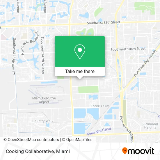
See Cooking Collaborative, Kendale Lakes-Tamiami, on the map
Public Transit to Cooking Collaborative in Kendale Lakes-Tamiami
Wondering how to get to Cooking Collaborative in Kendale Lakes-Tamiami? Moovit helps you find the best way to get to Cooking Collaborative with step-by-step directions from the nearest public transit station.
Moovit provides free maps and live directions to help you navigate through your city. View schedules, routes, timetables, and find out how long does it take to get to Cooking Collaborative in real time.
Looking for the nearest stop or station to Cooking Collaborative? Check out this list of stops closest to your destination: Sw 137 Av @ Sw 120 St.
Bus: 137.
Want to see if there’s another route that gets you there at an earlier time? Moovit helps you find alternative routes or times. Get directions from and directions to Cooking Collaborative easily from the Moovit App or Website.
We make riding to Cooking Collaborative easy, which is why over 1.5 million users, including users in Kendale Lakes-Tamiami, trust Moovit as the best app for public transit. You don’t need to download an individual bus app or train app, Moovit is your all-in-one transit app that helps you find the best bus time or train time available.
For information on prices of bus and train, costs and ride fares to Cooking Collaborative, please check the Moovit app.
Use the app to navigate to popular places including to the airport, hospital, stadium, grocery store, mall, coffee shop, school, college, and university.
Cooking Collaborative Address: Miami, FL 33186 street in Kendale Lakes-Tamiami
- P & L Roofing,
- R.S. Group of South Florida,
- EC Service & Moving,
- Randazzo Italiano,
- Medicine Without Meds,
- Jr Finish Carpentry,
- Sushi Bake Factory,
- Mejia Pressure Wash,
- Liquid8 IV Hydration,
- Prime Painting of Miami,
- Miami First Aid,
- Paellas Tabarca,
- Miami Motor Coach,
- Monica Pimentel, PMHNP-BC,
- Pressure Wash 305,
- Cubica Custom Living,
- Renovate Match,
- CLE Cleaning Expert,
- Moonstar Aroma,
- And Beyond Clean
Places Near Cooking Collaborative (Kendale Lakes-Tamiami)
- Bayside Marketplace, Miami,
- Miami Freedom Park, Miami,
- Aventura Mall, Miami Beach,
- Miami Design District, Miami,
- Richard E. Gerstein Justice Building, Miami,
- Sawgrass mall ( FL ), Miami Beach,
- Keiser University Flagship Campus, West Palm Beach,
- Dolphin Mall, Miami,
- Marlins Park, Miami,
- 1351 NW 12th St, Miami,
- Brickell City Centre, Miami,
- Aventura Mall, Miami,
- Little Havana, Miami,
- Wynwood, Miami,
- Dolphin Mall Bus, Miami,
- Port of Miami Cruise Terminal, Miami,
- Hard Rock Stadium, Miami Gardens,
- Miami-Dade County Courthouse, Miami,
- Zoo Miami, Miami,
- Sawgrass Mall, Miami
How to get to popular places in Miami with public transit
Get around Kendale Lakes-Tamiami by public transit!
Traveling around Kendale Lakes-Tamiami has never been so easy. See step by step directions as you travel to any attraction, street or major public transit station. View bus and train schedules, arrival times, service alerts and detailed routes on a map, so you know exactly how to get to anywhere in Kendale Lakes-Tamiami.
When traveling to any destination around Kendale Lakes-Tamiami use Moovit's Live Directions with Get Off Notifications to know exactly where and how far to walk, how long to wait for your line, and how many stops are left. Moovit will alert you when it's time to get off — no need to constantly re-check whether yours is the next stop.
Wondering how to use public transit in Kendale Lakes-Tamiami or how to pay for public transit in Kendale Lakes-Tamiami? Moovit public transit app can help you navigate your way with public transit easily, and at minimum cost. It includes public transit fees, ticket prices, and costs. Looking for a map of Kendale Lakes-Tamiami public transit lines? Moovit public transit app shows all public transit maps in Kendale Lakes-Tamiami with all Bus, Train, Light Rail and Ferry routes and stops on an interactive map.
Miami has 4 transit type(s), including: Bus, Train, Light Rail and Ferry, operated by several transit agencies, including Broward County Transit, Miami-Dade Transit, Metrorail, Palm Tran, Tri-Rail, Brightline, MARTY, City of Homestead Trolley, Key West Transit, Treasure Coast Connector, GoLine IRT, Amtrak, Greyhound-us, FlixBus-us and Aventura Express Shuttle Bus