How to get to Cooks Demolition & Junk Removal by bus?
Click on the bus route to see step by step directions with maps, line arrival times and updated time schedules.
How to get to Cooks Demolition & Junk Removal by train?
Click on the train route to see step by step directions with maps, line arrival times and updated time schedules.
Bus stops near Cooks Demolition & Junk Removal in Norfolk
Light Rail stations near Cooks Demolition & Junk Removal in Norfolk
- Monticello, 29 min walk,VIEW
Train station near Cooks Demolition & Junk Removal in Norfolk
- Norfolk Station, 48 min walk,VIEW
Bus lines to Cooks Demolition & Junk Removal in Norfolk
What are the closest stations to Cooks Demolition & Junk Removal?
The closest stations to Cooks Demolition & Junk Removal are:
- Tidewater & Goff is 220 yards away, 3 min walk.
- Princess Anne & Tidewater is 421 yards away, 6 min walk.
- Virginia Beach & Tidewater is 702 yards away, 9 min walk.
- Church & Goff is 751 yards away, 10 min walk.
- Monticello is 2443 yards away, 29 min walk.
- Norfolk Station is 4081 yards away, 48 min walk.
Which bus lines stop near Cooks Demolition & Junk Removal?
These bus lines stop near Cooks Demolition & Junk Removal: 004, 023, 961.
Which train line stops near Cooks Demolition & Junk Removal?
NORTHEAST REGIONAL (Norfolk)
What’s the nearest light rail station to Cooks Demolition & Junk Removal in Norfolk?
The nearest light rail station to Cooks Demolition & Junk Removal in Norfolk is Monticello. It’s a 29 min walk away.
What’s the nearest bus station to Cooks Demolition & Junk Removal in Norfolk?
The nearest bus station to Cooks Demolition & Junk Removal in Norfolk is Tidewater & Goff. It’s a 3 min walk away.
What time is the first light rail to Cooks Demolition & Junk Removal in Norfolk?
The 800 is the first light rail that goes to Cooks Demolition & Junk Removal in Norfolk. It stops nearby at 5:32 AM.
What time is the last light rail to Cooks Demolition & Junk Removal in Norfolk?
The 800 is the last light rail that goes to Cooks Demolition & Junk Removal in Norfolk. It stops nearby at 11:45 PM.
What time is the first train to Cooks Demolition & Junk Removal in Norfolk?
The NORTHEAST REGIONAL is the first train that goes to Cooks Demolition & Junk Removal in Norfolk. It stops nearby at 8:59 AM.
What time is the last train to Cooks Demolition & Junk Removal in Norfolk?
The NORTHEAST REGIONAL is the last train that goes to Cooks Demolition & Junk Removal in Norfolk. It stops nearby at 10:43 PM.
What time is the first bus to Cooks Demolition & Junk Removal in Norfolk?
The 023 is the first bus that goes to Cooks Demolition & Junk Removal in Norfolk. It stops nearby at 5:15 AM.
What time is the last bus to Cooks Demolition & Junk Removal in Norfolk?
The 023 is the last bus that goes to Cooks Demolition & Junk Removal in Norfolk. It stops nearby at 1:09 AM.
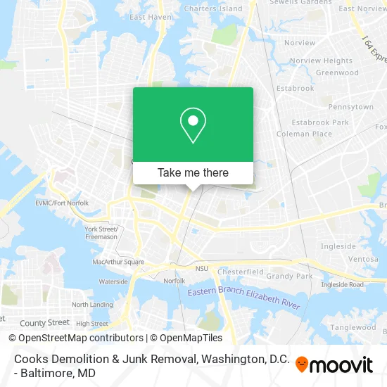
See Cooks Demolition & Junk Removal, Norfolk, on the map
Public Transit to Cooks Demolition & Junk Removal in Norfolk
Wondering how to get to Cooks Demolition & Junk Removal in Norfolk? Moovit helps you find the best way to get to Cooks Demolition & Junk Removal with step-by-step directions from the nearest public transit station.
Moovit provides free maps and live directions to help you navigate through your city. View schedules, routes, timetables, and find out how long does it take to get to Cooks Demolition & Junk Removal in real time.
Looking for the nearest stop or station to Cooks Demolition & Junk Removal? Check out this list of stops closest to your destination: Tidewater & Goff; Princess Anne & Tidewater; Virginia Beach & Tidewater; Church & Goff; Monticello; Norfolk Station.
Bus: 004, 023, 961, 008, 020.Train: NORTHEAST REGIONAL.
Want to see if there’s another route that gets you there at an earlier time? Moovit helps you find alternative routes or times. Get directions from and directions to Cooks Demolition & Junk Removal easily from the Moovit App or Website.
We make riding to Cooks Demolition & Junk Removal easy, which is why over 1.5 million users, including users in Norfolk, trust Moovit as the best app for public transit. You don’t need to download an individual bus app or train app, Moovit is your all-in-one transit app that helps you find the best bus time or train time available.
For information on prices of bus and train, costs and ride fares to Cooks Demolition & Junk Removal, please check the Moovit app.
Use the app to navigate to popular places including to the airport, hospital, stadium, grocery store, mall, coffee shop, school, college, and university.
Cooks Demolition & Junk Removal Address: Dunbar St Norfolk, VA 23504 street in Norfolk
- Loretta B Nixon,
- NB Mobile Notary,
- 757 Lawncarenmore,
- Stylez by Mesha,
- 7 Cities Maid 4 U,
- Kingston Carpet & Cleaning Solutions,
- Baddies Cleaning Services,
- Cares Body Sculpting by She,
- Huntersville Park,
- Excellent Norfolk Chiropractor,
- Mercer Frank III,
- Timely Results Construction,
- Richard C Ellison MD,
- Norfolk Community Health Center,
- Spartan Financial Services,
- Boys and Girls,
- Tree Care Solutions,
- Hebrew Cemetery,
- Union United Church of Christ,
- Bricklayers Stone & Marble Masons Tile Setters Uni
Places Near Cooks Demolition & Junk Removal (Norfolk)
- Washington DC VA Medical Center, Washington,
- Camden Yards, Baltimore,
- Pennsylvania Ave NW (3rd st and pennsylvania), Washington,
- National Museum of African American History and Culture, Washington,
- Warner Theatre, Washington,
- Georgetown, Washington,
- Museum Of The Bible, Washington,
- M&T Bank Stadium, Baltimore,
- Marriott Marquis Washington, DC, Washington,
- Amazon Hq2, Arlington County,
- Sibley Memorial Hospital, Washington,
- Westfield Montgomery Mall, Montgomery County,
- Rock Creek Tennis Center, Washington,
- National Zoo, Washington,
- The Anthem, Washington,
- Capital One Arena, Washington,
- Basilica of the National Shrine, Washington,
- National Mall, Washington,
- Washington National Cathedral, Washington,
- PG Mall, Prince George's County
How to get to popular places in Washington, D.C. - Baltimore, MD with public transit
Get around Norfolk by public transit!
Traveling around Norfolk has never been so easy. See step by step directions as you travel to any attraction, street or major public transit station. View bus and train schedules, arrival times, service alerts and detailed routes on a map, so you know exactly how to get to anywhere in Norfolk.
When traveling to any destination around Norfolk use Moovit's Live Directions with Get Off Notifications to know exactly where and how far to walk, how long to wait for your line, and how many stops are left. Moovit will alert you when it's time to get off — no need to constantly re-check whether yours is the next stop.
Wondering how to use public transit in Norfolk or how to pay for public transit in Norfolk? Moovit public transit app can help you navigate your way with public transit easily, and at minimum cost. It includes public transit fees, ticket prices, and costs. Looking for a map of Norfolk public transit lines? Moovit public transit app shows all public transit maps in Norfolk with all Bus, Train, Metro, Light Rail and Ferry routes and stops on an interactive map.
Washington, D.C. - Baltimore, MD has 5 transit type(s), including: Bus, Train, Metro, Light Rail and Ferry, operated by several transit agencies, including WMATA, Montgomery County Ride On, Fairfax Connector, TheBus, PRTC, DASH - Alexandria, Arlington Transit (ART), RTA of Central Maryland, MDOT MTA, MDOT MTA Light RailLink, MDOT MTA Commuter Bus, MDOT MTA Local Bus, FXBGO!, Virginia Railway Express (VRE) and MARC