How to get to Core4ce by bus?
Click on the bus route to see step by step directions with maps, line arrival times and updated time schedules.
From Fairfax County Government Center, Fairfax County
74 minFrom National Reconnaissance Office, Fairfax County
52 minFrom Dulles Discovery, Fairfax County
42 minFrom Hollywood Casino at Charles Town Races, Fairfax County
40 minFrom Sterling VA USA, Loudoun County
63 minFrom Chantilly, VA, Fairfax County
41 minFrom Arabx Com Inc, Fairfax County
85 minFrom Oakton, Virginia, Fairfax County
90 minFrom Vienna, Virginia, Fairfax County
86 minFrom King Spa, Loudoun County
172 min
Bus stops near Core4ce in Fairfax County
Metro station near Core4ce in Fairfax County
- Wiehle-Reston, 30 min walk,VIEW
Bus lines to Core4ce in Fairfax County
What are the closest stations to Core4ce?
The closest stations to Core4ce are:
- 12361 Sunrise Valley Dr is 86 yards away, 2 min walk.
- Sunrise Valley Dr @ Glade Dr is 214 yards away, 3 min walk.
- Wiehle-Reston is 2567 yards away, 30 min walk.
Which bus lines stop near Core4ce?
These bus lines stop near Core4ce: 605, 951, RIBS2.
Which metro line stops near Core4ce?
SILVER (Ashburn)
What’s the nearest metro station to Core4ce in Fairfax County?
The nearest metro station to Core4ce in Fairfax County is Wiehle-Reston. It’s a 30 min walk away.
What’s the nearest bus station to Core4ce in Fairfax County?
The nearest bus station to Core4ce in Fairfax County is 12361 Sunrise Valley Dr. It’s a 2 min walk away.
What time is the first metro to Core4ce in Fairfax County?
The SILVER is the first metro that goes to Core4ce in Fairfax County. It stops nearby at 5:00 AM.
What time is the last metro to Core4ce in Fairfax County?
The SILVER is the last metro that goes to Core4ce in Fairfax County. It stops nearby at 12:58 AM.
What time is the first bus to Core4ce in Fairfax County?
The RIBS2 is the first bus that goes to Core4ce in Fairfax County. It stops nearby at 4:26 AM.
What time is the last bus to Core4ce in Fairfax County?
The RIBS2 is the last bus that goes to Core4ce in Fairfax County. It stops nearby at 12:46 AM.
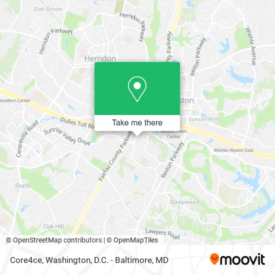
See Core4ce, Fairfax County, on the map
Public Transit to Core4ce in Fairfax County
Wondering how to get to Core4ce in Fairfax County? Moovit helps you find the best way to get to Core4ce with step-by-step directions from the nearest public transit station.
Moovit provides free maps and live directions to help you navigate through your city. View schedules, routes, timetables, and find out how long does it take to get to Core4ce in real time.
Looking for the nearest stop or station to Core4ce? Check out this list of stops closest to your destination: 12361 Sunrise Valley Dr; Sunrise Valley Dr @ Glade Dr; Wiehle-Reston.
Bus: 605, 951, RIBS2.Metro: SILVER.
Want to see if there’s another route that gets you there at an earlier time? Moovit helps you find alternative routes or times. Get directions from and directions to Core4ce easily from the Moovit App or Website.
We make riding to Core4ce easy, which is why over 1.5 million users, including users in Fairfax County, trust Moovit as the best app for public transit. You don’t need to download an individual bus app or train app, Moovit is your all-in-one transit app that helps you find the best bus time or train time available.
For information on prices of bus and metro, costs and ride fares to Core4ce, please check the Moovit app.
Use the app to navigate to popular places including to the airport, hospital, stadium, grocery store, mall, coffee shop, school, college, and university.
Core4ce Address: 12359 Sunrise Valley Dr Reston, VA 20191 street in Fairfax County
- Wipfli,
- Imagex,
- Roadrunner Email Support,
- Columbus Rose,
- Kieu M le DDS,
- Urban Homes LLC,
- U.S. Customs And Border Protection National Targeting Center,
- National Targerting Center,
- Fountainhead Wealth Advisors,
- Aleut Federal LLC,
- Chevron - Right,
- Xfinity,
- Carahsoft,
- Sunrise Valley and Fairfax County Parkway,
- VA-267 E Entrance Centreville,
- Sprint Campus Perimeter Walk,
- Ericsson Services,
- Route 267 Exit 11,
- Paver Installation Unlimited of Fairfax,
- United States Geological Survey (USGS)
Places Near Core4ce (Fairfax County)
- PG Mall, Prince George's County,
- Basilica of the National Shrine, Washington,
- Sibley Memorial Hospital, Washington,
- Georgetown, Washington,
- Washington National Cathedral, Washington,
- National Mall, Washington,
- Washington DC VA Medical Center, Washington,
- Camden Yards, Baltimore,
- Capital One Arena, Washington,
- Museum Of The Bible, Washington,
- Rock Creek Tennis Center, Washington,
- Westfield Montgomery Mall, Montgomery County,
- National Zoo, Washington,
- Amazon Hq2, Arlington County,
- National Museum of African American History and Culture, Washington,
- The Anthem, Washington,
- Pennsylvania Ave NW (3rd st and pennsylvania), Washington,
- M&T Bank Stadium, Baltimore,
- Marriott Marquis Washington, DC, Washington,
- Warner Theatre, Washington
How to get to popular places in Washington, D.C. - Baltimore, MD with public transit
Get around Fairfax County by public transit!
Traveling around Fairfax County has never been so easy. See step by step directions as you travel to any attraction, street or major public transit station. View bus and train schedules, arrival times, service alerts and detailed routes on a map, so you know exactly how to get to anywhere in Fairfax County.
When traveling to any destination around Fairfax County use Moovit's Live Directions with Get Off Notifications to know exactly where and how far to walk, how long to wait for your line, and how many stops are left. Moovit will alert you when it's time to get off — no need to constantly re-check whether yours is the next stop.
Wondering how to use public transit in Fairfax County or how to pay for public transit in Fairfax County? Moovit public transit app can help you navigate your way with public transit easily, and at minimum cost. It includes public transit fees, ticket prices, and costs. Looking for a map of Fairfax County public transit lines? Moovit public transit app shows all public transit maps in Fairfax County with all Bus, Train, Metro, Light Rail and Ferry routes and stops on an interactive map.
Washington, D.C. - Baltimore, MD has 5 transit type(s), including: Bus, Train, Metro, Light Rail and Ferry, operated by several transit agencies, including WMATA, Montgomery County Ride On, Fairfax Connector, TheBus, PRTC, DASH - Alexandria, Arlington Transit (ART), RTA of Central Maryland, MDOT MTA, MDOT MTA Light RailLink, MDOT MTA Commuter Bus, MDOT MTA Local Bus, FXBGO!, Virginia Railway Express (VRE) and MARC