How to get to Covamsa by bus?
Click on the bus route to see step by step directions with maps, line arrival times and updated time schedules.
From Guarderia Rotario, Aguascalientes
38 minFrom salon bonagens, Aguascalientes
65 minFrom Cendi Kingo, Aguascalientes
52 minFrom Sears, Aguascalientes
51 minFrom Centro Comercial Altaria, Aguascalientes
51 minFrom Terrazza Italiana, Aguascalientes
49 minFrom Vianney, Aguascalientes
53 minFrom Sibsa, Aguascalientes
33 minFrom PlayCity, Aguascalientes
51 minFrom Universidad Autónoma De Aguascalientes Campus Central, Aguascalientes
25 min
Bus stops near Covamsa in Aguascalientes
Bus lines to Covamsa in Aguascalientes
- RUTA 03, La Ribera,VIEW
- RUTA 04, Mahatma Gandhi - Jesús María,VIEW
- RUTA 06, Mahatma Gandhi,VIEW
- RUTA 10, Uaa Sur,VIEW
- RUTA 11, Mahatma Gandhi,VIEW
- RUTA 28, Jesús María,VIEW
- RUTA 33, Jesús María,VIEW
- RUTA 34, Upa,VIEW
- RUTA 42, Bellavista,VIEW
- RUTA 43, Utma,VIEW
- RUTA 09, Cumbres III - Mahatma Gandhi,VIEW
- RUTA 09, Mahatma Gandhi - Los Laureles,VIEW
- RUTA 14, Vicente Guerrero,VIEW
- RUTA 43, San Antonio Via Lomas De New York,VIEW
What are the closest stations to Covamsa?
The closest stations to Covamsa are:
- Avenida Mahatma Gandhi, 102 is 36 meters away, 1 min walk.
- Terminal Sur is 500 meters away, 7 min walk.
- Carolina Villanueva De García, 103 is 623 meters away, 9 min walk.
- Aguascalientes-Encarnación De Díaz, 2241 is 711 meters away, 10 min walk.
Which bus lines stop near Covamsa?
These bus lines stop near Covamsa: RUTA 03, RUTA 06, RUTA 11, RUTA 34, RUTA 42.
What’s the nearest bus station to Covamsa in Aguascalientes?
The nearest bus station to Covamsa in Aguascalientes is Avenida Mahatma Gandhi, 102. It’s a 1 min walk away.
What time is the first bus to Covamsa in Aguascalientes?
The RUTA 09 is the first bus that goes to Covamsa in Aguascalientes. It stops nearby at 5:50 AM.
What time is the last bus to Covamsa in Aguascalientes?
The RUTA 43 is the last bus that goes to Covamsa in Aguascalientes. It stops nearby at 10:35 PM.
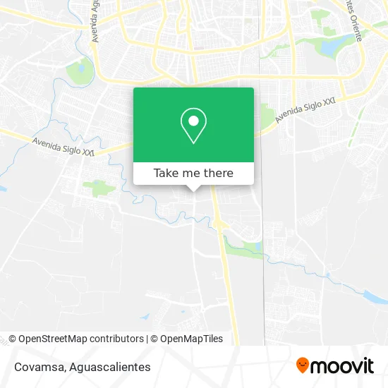
See Covamsa, Aguascalientes, on the map
Public Transit to Covamsa in Aguascalientes
Wondering how to get to Covamsa in Aguascalientes? Moovit helps you find the best way to get to Covamsa with step-by-step directions from the nearest public transit station.
Moovit provides free maps and live directions to help you navigate through your city. View schedules, routes, timetables, and find out how long does it take to get to Covamsa in real time.
Looking for the nearest stop or station to Covamsa? Check out this list of stops closest to your destination: Avenida Mahatma Gandhi; Terminal Sur; Carolina Villanueva De García; Aguascalientes-Encarnación De Díaz.
Bus: RUTA 03, RUTA 06, RUTA 11, RUTA 34, RUTA 42, RUTA 04, RUTA 10, RUTA 09, RUTA 09, RUTA 14, RUTA 43.
Want to see if there’s another route that gets you there at an earlier time? Moovit helps you find alternative routes or times. Get directions from and directions to Covamsa easily from the Moovit App or Website.
We make riding to Covamsa easy, which is why over 1.5 million users, including users in Aguascalientes, trust Moovit as the best app for public transit. You don’t need to download an individual bus app or train app, Moovit is your all-in-one transit app that helps you find the best bus time or train time available.
For information on prices of bus, costs and ride fares to Covamsa, please check the Moovit app.
Use the app to navigate to popular places including to the airport, hospital, stadium, grocery store, mall, coffee shop, school, college, and university.
Covamsa Address: Covamsa, Calle Volcán Tacaná, Fraccionamiento Casasolida, 20280 Aguascalientes, Aguascalientes street in Aguascalientes
- Cantera Gandi,
- Bbva Bancomer,
- Clin Siguemed Sur,
- Birrieria Serna,
- Dojang Yong-Ui Yusan Taekwondo,
- G&m Entrenamientos Funcionales Aguscalientes,
- Culichitown,
- Comercializadora Industrial Gba, S.A. de C.V.,
- Bodega de Material para Constuccion,
- C-Renta Maquinaria para La Construcción,
- WESTERN UNION,
- Mares Suspensiones,
- One,
- Ovalo Aguascalientes Pista Nascar,
- Auto Eléctrico,
- Consultorio Médico,
- Transportes Unidos de Tepa,
- Autopartes Eléctricas Karlos,
- Saza 2,
- Central de Abastos Sur Agua
Places Near Covamsa (Aguascalientes)
- Isla San Marcos, Aguascalientes,
- Blvd. Luis Donaldo Colosio, Aguascalientes,
- Centro, Aguascalientes,
- Imss Clinica 1, Aguascalientes,
- ESPACIOS, Aguascalientes,
- Villasuncion, Aguascalientes,
- Hospital Imss No. 3, Aguascalientes,
- Universidad Autónoma de Aguascalientes, Aguascalientes,
- Villas de Nuestra Señora de la Asunción, Aguascalientes,
- Aeropuerto de Aguascalientes S.A. de C.V., Aguascalientes,
- Nuevo Hospital Hidalgo, Aguascalientes,
- La Isla San Marcos, Aguascalientes,
- Agropecuario, Aguascalientes,
- Jesús María, Aguascalientes,
- Centro Comercial Altaria, Aguascalientes,
- Terminal De Combis, Aguascalientes,
- Central De Autobuses, Aguascalientes,
- Ciudad industrial, Aguascalientes,
- clinica 3 uaa, Aguascalientes,
- Parque Las Tres Centurias, Aguascalientes
How to get to popular places in Aguascalientes with public transit
Get around Aguascalientes by public transit!
Traveling around Aguascalientes has never been so easy. See step by step directions as you travel to any attraction, street or major public transit station. View bus and train schedules, arrival times, service alerts and detailed routes on a map, so you know exactly how to get to anywhere in Aguascalientes.
When traveling to any destination around Aguascalientes use Moovit's Live Directions with Get Off Notifications to know exactly where and how far to walk, how long to wait for your line, and how many stops are left. Moovit will alert you when it's time to get off — no need to constantly re-check whether yours is the next stop.
Wondering how to use public transit in Aguascalientes or how to pay for public transit in Aguascalientes? Moovit public transit app can help you navigate your way with public transit easily, and at minimum cost. It includes public transit fees, ticket prices, and costs. Looking for a map of Aguascalientes public transit lines? Moovit public transit app shows all public transit maps in Aguascalientes with all bus routes and stops on an interactive map.
Aguascalientes has 1 transit type(s), including: bus, operated by several transit agencies, including Coordinación General de Movilidad