How to get to Crampton by bus?
Click on the bus route to see step by step directions with maps, line arrival times and updated time schedules.
From Ellsworth Place, Montgomery County
46 minFrom Miracle Theatre, Washington
40 minFrom Montgomery Blair High School, Montgomery County
58 minFrom Walter Reed National Military Medical Center, Montgomery County
74 minFrom Pentagon North Parking Lot, Arlington County
69 minFrom National Institutes of Health (NIH), Montgomery County
73 minFrom Embassy of France, Washington
55 minFrom The Ritz-Carlton Pentagon City, Arlington County
65 minFrom Birchmere, Alexandria
88 minFrom Washington DC Temple, Montgomery County
62 min
How to get to Crampton by train?
Click on the train route to see step by step directions with maps, line arrival times and updated time schedules.
How to get to Crampton by metro?
Click on the metro route to see step by step directions with maps, line arrival times and updated time schedules.
From Ellsworth Place, Montgomery County
46 minFrom Miracle Theatre, Washington
42 minFrom Walter Reed National Military Medical Center, Montgomery County
55 minFrom Pentagon North Parking Lot, Arlington County
55 minFrom National Institutes of Health (NIH), Montgomery County
55 minFrom The Ritz-Carlton Pentagon City, Arlington County
35 minFrom Birchmere, Alexandria
67 min
Bus stops near Crampton in Washington
Metro station near Crampton in Washington
- U Street/African-Amer Civil War Memorial/ Cardozo, 14 min walk,VIEW
Bus lines to Crampton in Washington
What are the closest stations to Crampton?
The closest stations to Crampton are:
- Georgia Av Nw+Euclid St NW is 237 yards away, 4 min walk.
- Georgia Av Nw+Howard Pl NW is 379 yards away, 5 min walk.
- Columbia Rd Nw+Warder St NW is 598 yards away, 8 min walk.
- 11 St Nw+Euclid St NW is 678 yards away, 9 min walk.
- U Street/African-Amer Civil War Memorial/ Cardozo is 1112 yards away, 14 min walk.
Which bus lines stop near Crampton?
These bus lines stop near Crampton: C61, D40, D4X, D50.
Which train lines stop near Crampton?
These train lines stop near Crampton: MARC, NORTHEAST REGIONAL.
Which metro lines stop near Crampton?
These metro lines stop near Crampton: GREEN, YELLOW.
What’s the nearest metro station to Crampton in Washington?
The nearest metro station to Crampton in Washington is U Street/African-Amer Civil War Memorial/ Cardozo. It’s a 14 min walk away.
What’s the nearest bus station to Crampton in Washington?
The nearest bus station to Crampton in Washington is Georgia Av Nw+Euclid St NW. It’s a 4 min walk away.
What time is the first metro to Crampton in Washington?
The GREEN is the first metro that goes to Crampton in Washington. It stops nearby at 5:14 AM.
What time is the last metro to Crampton in Washington?
The GREEN is the last metro that goes to Crampton in Washington. It stops nearby at 12:27 AM.
What time is the first bus to Crampton in Washington?
The D40 is the first bus that goes to Crampton in Washington. It stops nearby at 3:03 AM.
What time is the last bus to Crampton in Washington?
The D40 is the last bus that goes to Crampton in Washington. It stops nearby at 3:06 AM.
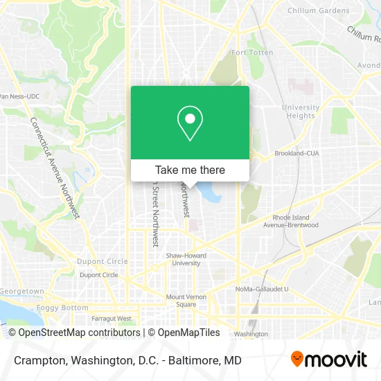
See Crampton, Washington, on the map
Public Transit to Crampton in Washington
Wondering how to get to Crampton in Washington? Moovit helps you find the best way to get to Crampton with step-by-step directions from the nearest public transit station.
Moovit provides free maps and live directions to help you navigate through your city. View schedules, routes, timetables, and find out how long does it take to get to Crampton in real time.
Looking for the nearest stop or station to Crampton? Check out this list of stops closest to your destination: Georgia Av Nw+Euclid St NW; Georgia Av Nw+Howard Pl NW; Columbia Rd Nw+Warder St NW; 11 St Nw+Euclid St NW; U Street/African-Amer Civil War Memorial/ Cardozo.
Bus: C61, D40, D4X, D50, C63, D44.Train: MARC, NORTHEAST REGIONAL.Metro: GREEN, YELLOW.
Want to see if there’s another route that gets you there at an earlier time? Moovit helps you find alternative routes or times. Get directions from and directions to Crampton easily from the Moovit App or Website.
We make riding to Crampton easy, which is why over 1.5 million users, including users in Washington, trust Moovit as the best app for public transit. You don’t need to download an individual bus app or train app, Moovit is your all-in-one transit app that helps you find the best bus time or train time available.
For information on prices of bus, metro and train, costs and ride fares to Crampton, please check the Moovit app.
Use the app to navigate to popular places including to the airport, hospital, stadium, grocery store, mall, coffee shop, school, college, and university.
Location: Washington, Washington, D.C. - Baltimore, MD
- Cramton Auditorium,
- Louis Cramton Auditorium,
- Howard University - Cramton Auditorium,
- Howard University Lulu Vere Childers Hall,
- Howard University Accounting Scholars Development Program Asdp,
- Howard University - Track,
- William H. Greene Stadium,
- William Greene Memorial Stadium,
- The Mordecai Wyatt Johnson Building,
- EZ Gifting DC,
- Sodexo,
- Howard University Burr Gymnasium,
- William H Greene Stadium (Greene Memorial Stadium),
- Howard University Burr Gymnasium,
- Lifted DC,
- Andrew Carnegie Hall,
- Locke Hall - Howard University,
- Burr Gymnasium,
- Inabel Burns Lindsay Hall (School of Social Work),
- Sankofa Video & Books
Places Near Crampton (Washington)
- National Zoo, Washington,
- PG Mall, Prince George's County,
- Pennsylvania Ave NW (3rd st and pennsylvania), Washington,
- Washington DC VA Medical Center, Washington,
- M&T Bank Stadium, Baltimore,
- Camden Yards, Baltimore,
- Basilica of the National Shrine, Washington,
- National Museum of African American History and Culture, Washington,
- Warner Theatre, Washington,
- The Anthem, Washington,
- Washington National Cathedral, Washington,
- Museum Of The Bible, Washington,
- National Theatre, Washington,
- Rock Creek Tennis Center, Washington,
- Capital One Arena, Washington,
- Marriott Marquis Washington, DC, Washington,
- Georgetown, Washington,
- Sibley Memorial Hospital, Washington,
- Westfield Montgomery Mall, Montgomery County,
- Amazon Hq2, Arlington County
How to get to popular places in Washington, D.C. - Baltimore, MD with public transit
Get around Washington by public transit!
Traveling around Washington has never been so easy. See step by step directions as you travel to any attraction, street or major public transit station. View bus and train schedules, arrival times, service alerts and detailed routes on a map, so you know exactly how to get to anywhere in Washington.
When traveling to any destination around Washington use Moovit's Live Directions with Get Off Notifications to know exactly where and how far to walk, how long to wait for your line, and how many stops are left. Moovit will alert you when it's time to get off — no need to constantly re-check whether yours is the next stop.
Wondering how to use public transit in Washington or how to pay for public transit in Washington? Moovit public transit app can help you navigate your way with public transit easily, and at minimum cost. It includes public transit fees, ticket prices, and costs. Looking for a map of Washington public transit lines? Moovit public transit app shows all public transit maps in Washington with all Bus, Train, Metro, Light Rail and Ferry routes and stops on an interactive map.
Washington, D.C. - Baltimore, MD has 5 transit type(s), including: Bus, Train, Metro, Light Rail and Ferry, operated by several transit agencies, including WMATA, Montgomery County Ride On, Fairfax Connector, TheBus, PRTC, DASH - Alexandria, Arlington Transit (ART), RTA of Central Maryland, MDOT MTA, MDOT MTA Light RailLink, MDOT MTA Commuter Bus, MDOT MTA Local Bus, FXBGO!, Virginia Railway Express (VRE) and MARC