Directions to Creators' Kitchen (Davie) with public transportation
The following transit lines have routes that pass near Creators' Kitchen
 Bus: 02.
How to get to Creators' Kitchen by bus?
Click on the bus route to see step by step directions with maps, line arrival times and updated time schedules.
From Broward Health Medical Center, Fort Lauderdale
68 minFrom Intersection I 95 & Sheridan St, Hollywood
59 minFrom Oakwood Plaza, Hollywood
71 minFrom Yellow Green Farmers Market, Hollywood
64 minFrom A To Z Marble Restoration, Hollywood
46 minFrom 95 Express Bus Stop, Fort Lauderdale
62 minFrom W State Road 84, Fort Lauderdale
69 minFrom Fort Lauderdale airport terminal 3 Jet Blue, Hollywood
48 minFrom Joe Dimaggio Children's Hospital, Hollywood
64 minFrom Sawgrass Mills Mall Commercial Center, Plantation
58 min
Bus stop near Creators' Kitchen in Davie
- University Drive/Southwest 36th Street, 2 min walk,VIEW
Bus lines to Creators' Kitchen in Davie
- 02, 207st - Miami,VIEW
What are the closest stations to Creators' Kitchen?
The closest stations to Creators' Kitchen are:
- University Drive/Southwest 36th Street is 107 yards away, 2 min walk.
Which bus line stops near Creators' Kitchen?
02 (207st - Miami Via West Terminal)
What’s the nearest bus station to Creators' Kitchen in Davie?
The nearest bus station to Creators' Kitchen in Davie is University Drive/Southwest 36th Street. It’s a 2 min walk away.
What time is the first bus to Creators' Kitchen in Davie?
The 02 is the first bus that goes to Creators' Kitchen in Davie. It stops nearby at 5:18 AM.
What time is the last bus to Creators' Kitchen in Davie?
The 02 is the last bus that goes to Creators' Kitchen in Davie. It stops nearby at 12:01 AM.
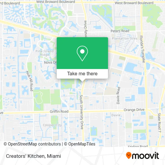
See Creators' Kitchen, Davie, on the map
Public Transit to Creators' Kitchen in Davie
Wondering how to get to Creators' Kitchen in Davie? Moovit helps you find the best way to get to Creators' Kitchen with step-by-step directions from the nearest public transit station.
Moovit provides free maps and live directions to help you navigate through your city. View schedules, routes, timetables, and find out how long does it take to get to Creators' Kitchen in real time.
Looking for the nearest stop or station to Creators' Kitchen? Check out this list of stops closest to your destination: University Drive/Southwest 36th Street.
Bus: 02.
Want to see if there’s another route that gets you there at an earlier time? Moovit helps you find alternative routes or times. Get directions from and directions to Creators' Kitchen easily from the Moovit App or Website.
We make riding to Creators' Kitchen easy, which is why over 1.5 million users, including users in Davie, trust Moovit as the best app for public transit. You don’t need to download an individual bus app or train app, Moovit is your all-in-one transit app that helps you find the best bus time or train time available.
For information on prices of bus, costs and ride fares to Creators' Kitchen, please check the Moovit app.
Use the app to navigate to popular places including to the airport, hospital, stadium, grocery store, mall, coffee shop, school, college, and university.
Creators' Kitchen Address: 3355 S University Dr Fort Lauderdale, FL 33328 street in Davie
- FedEx,
- G & E Realty Group, Inc.,
- Stephany Business Services,
- Free Home Evaluation,
- Bennigan's,
- Nsu Health Neuroscience Institute,
- Boca at Nova,
- U S Government Senate,
- Omni Loans,
- Collins Center for Public Policy,
- Longstar Deli,
- Super Dave Diagnostic and Auto Repair,
- Henderson Behavioral Health,
- Real Time Marketing,
- Karasik MD,
- TALK Fort Lauderdale,
- Chimpoulis Hunter and Lynn PA,
- Barnes & Noble Booksellers,
- Nova Southeastern University Sanford L Ziff Health,
- Nsu College Of Dental Medicine
Places Near Creators' Kitchen (Davie)
- Bayside Marketplace, Miami,
- Dolphin Mall, Miami,
- Dolphin Mall Bus, Miami,
- Miami Freedom Park, Miami,
- Richard E. Gerstein Justice Building, Miami,
- Sawgrass mall ( FL ), Miami Beach,
- Miami-Dade County Courthouse, Miami,
- Sawgrass Mall, Miami,
- Port of Miami Cruise Terminal, Miami,
- Wynwood, Miami,
- Zoo Miami, Miami,
- Miami Design District, Miami,
- Brickell City Centre, Miami,
- Hard Rock Stadium, Miami Gardens,
- Miami VA Hospital, Miami,
- Keiser University Flagship Campus, West Palm Beach,
- Marlins Park, Miami,
- Aventura Mall, Miami,
- Little Havana, Miami,
- Aventura Mall, Miami Beach
How to get to popular places in Miami with public transit
Get around Davie by public transit!
Traveling around Davie has never been so easy. See step by step directions as you travel to any attraction, street or major public transit station. View bus and train schedules, arrival times, service alerts and detailed routes on a map, so you know exactly how to get to anywhere in Davie.
When traveling to any destination around Davie use Moovit's Live Directions with Get Off Notifications to know exactly where and how far to walk, how long to wait for your line, and how many stops are left. Moovit will alert you when it's time to get off — no need to constantly re-check whether yours is the next stop.
Wondering how to use public transit in Davie or how to pay for public transit in Davie? Moovit public transit app can help you navigate your way with public transit easily, and at minimum cost. It includes public transit fees, ticket prices, and costs. Looking for a map of Davie public transit lines? Moovit public transit app shows all public transit maps in Davie with all Bus, Train, Light Rail and Ferry routes and stops on an interactive map.
Miami has 4 transit type(s), including: Bus, Train, Light Rail and Ferry, operated by several transit agencies, including Broward County Transit, Miami-Dade Transit, Metrorail, Palm Tran, Tri-Rail, Brightline, MARTY, City of Homestead Trolley, Key West Transit, Treasure Coast Connector, GoLine IRT, Amtrak, Greyhound-us, FlixBus-us and Aventura Express Shuttle Bus