How to get to Credit Control by bus?
Click on the bus route to see step by step directions with maps, line arrival times and updated time schedules.
Bus stop near Credit Control in Newport News
- Rock Landing & Omni, 3 min walk,VIEW
Bus lines to Credit Control in Newport News
- 111, Woodside & Old Denbigh,VIEW
What are the closest stations to Credit Control?
The closest stations to Credit Control are:
- Rock Landing & Omni is 185 yards away, 3 min walk.
Which bus lines stop near Credit Control?
These bus lines stop near Credit Control: 108, 111, 112.
What’s the nearest bus station to Credit Control in Newport News?
The nearest bus station to Credit Control in Newport News is Rock Landing & Omni. It’s a 3 min walk away.
What time is the first bus to Credit Control in Newport News?
The 111 is the first bus that goes to Credit Control in Newport News. It stops nearby at 6:55 AM.
What time is the last bus to Credit Control in Newport News?
The 111 is the last bus that goes to Credit Control in Newport News. It stops nearby at 11:10 PM.
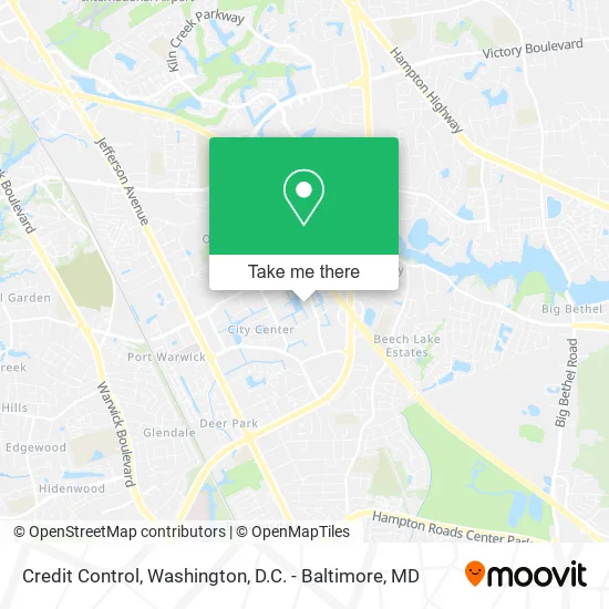
See Credit Control, Newport News, on the map
Public Transit to Credit Control in Newport News
Wondering how to get to Credit Control in Newport News? Moovit helps you find the best way to get to Credit Control with step-by-step directions from the nearest public transit station.
Moovit provides free maps and live directions to help you navigate through your city. View schedules, routes, timetables, and find out how long does it take to get to Credit Control in real time.
Looking for the nearest stop or station to Credit Control? Check out this list of stops closest to your destination: Rock Landing & Omni.
Bus: 108, 111, 112.
Want to see if there’s another route that gets you there at an earlier time? Moovit helps you find alternative routes or times. Get directions from and directions to Credit Control easily from the Moovit App or Website.
We make riding to Credit Control easy, which is why over 1.5 million users, including users in Newport News, trust Moovit as the best app for public transit. You don’t need to download an individual bus app or train app, Moovit is your all-in-one transit app that helps you find the best bus time or train time available.
For information on prices of bus and train, costs and ride fares to Credit Control, please check the Moovit app.
Use the app to navigate to popular places including to the airport, hospital, stadium, grocery store, mall, coffee shop, school, college, and university.
Credit Control Address: 11821 Rock Landing Dr Newport News, VA 23606 street in Newport News
- Gazebo at Boys & Girls Club,
- MCM Financial Management,
- Alliance Engineering,
- Sealey Gail P,
- Denise Hall LCSW,
- Anne Aja Edd,
- Burrell C Taylor Clu,
- Robert J Kelly Licensed Clinical Social Worker,
- Pam Pare, PHD,
- Rock Landing Psychological Group,
- Bruce Colburn PH.D.,
- Maritime Trading,
- Girls Clubs,
- Carmines Robbins & Company,
- Hope in Home Care Skilled Care Division,
- Ricoh USA,
- Jean C Moses CPA,
- Aviation Law Center,
- Cross Country Mortgage,
- UPS
Places Near Credit Control (Newport News)
- National Zoo, Washington,
- Georgetown, Washington,
- National Theatre, Washington,
- PG Mall, Prince George's County,
- Capital One Arena, Washington,
- Sibley Memorial Hospital, Washington,
- Marriott Marquis Washington, DC, Washington,
- Washington National Cathedral, Washington,
- Warner Theatre, Washington,
- Basilica of the National Shrine, Washington,
- M&T Bank Stadium, Baltimore,
- Washington DC VA Medical Center, Washington,
- Pennsylvania Ave NW (3rd st and pennsylvania), Washington,
- Camden Yards, Baltimore,
- Rock Creek Tennis Center, Washington,
- Amazon Hq2, Arlington County,
- National Museum of African American History and Culture, Washington,
- The Anthem, Washington,
- Museum Of The Bible, Washington,
- Westfield Montgomery Mall, Montgomery County
How to get to popular places in Washington, D.C. - Baltimore, MD with public transit
Get around Newport News by public transit!
Traveling around Newport News has never been so easy. See step by step directions as you travel to any attraction, street or major public transit station. View bus and train schedules, arrival times, service alerts and detailed routes on a map, so you know exactly how to get to anywhere in Newport News.
When traveling to any destination around Newport News use Moovit's Live Directions with Get Off Notifications to know exactly where and how far to walk, how long to wait for your line, and how many stops are left. Moovit will alert you when it's time to get off — no need to constantly re-check whether yours is the next stop.
Wondering how to use public transit in Newport News or how to pay for public transit in Newport News? Moovit public transit app can help you navigate your way with public transit easily, and at minimum cost. It includes public transit fees, ticket prices, and costs. Looking for a map of Newport News public transit lines? Moovit public transit app shows all public transit maps in Newport News with all Bus, Train, Metro, Light Rail and Ferry routes and stops on an interactive map.
Washington, D.C. - Baltimore, MD has 5 transit type(s), including: Bus, Train, Metro, Light Rail and Ferry, operated by several transit agencies, including WMATA, Montgomery County Ride On, Fairfax Connector, TheBus, PRTC, DASH - Alexandria, Arlington Transit (ART), RTA of Central Maryland, MDOT MTA, MDOT MTA Light RailLink, MDOT MTA Commuter Bus, MDOT MTA Local Bus, FXBGO!, Virginia Railway Express (VRE) and MARC