How to get to Cricket Wireless by bus?
Click on the bus route to see step by step directions with maps, line arrival times and updated time schedules.
From Inova Fair Oaks Hospital, Fairfax County
121 minFrom Amazon Web Services - IAD21, Fairfax County
66 minFrom Arabx Com Inc, Fairfax County
174 minFrom Hollywood Casino at Charles Town Races, Fairfax County
126 minFrom Lake Fairfax Park, Fairfax County
111 minFrom Chantilly, VA, Fairfax County
82 minFrom Fair Oaks Mall, Fairfax County
134 minFrom National Reconnaissance Office, Fairfax County
94 minFrom Dulles Expo Center, Fairfax County
97 minFrom King Spa, Loudoun County
74 min
How to get to Cricket Wireless by metro?
Click on the metro route to see step by step directions with maps, line arrival times and updated time schedules.
Bus stop near Cricket Wireless in Loudoun County
- Pacific Blvd & Global Pl, 4 min walk,VIEW
Metro station near Cricket Wireless in Loudoun County
- Loudoun Gateway, 45 min walk,VIEW
Bus lines to Cricket Wireless in Loudoun County
- 333, Pacific Blvd/Quantum Park/Loudoun Gateway,VIEW
What are the closest stations to Cricket Wireless?
The closest stations to Cricket Wireless are:
- Pacific Blvd & Global Pl is 276 yards away, 4 min walk.
- Loudoun Gateway is 3850 yards away, 45 min walk.
Which bus lines stop near Cricket Wireless?
These bus lines stop near Cricket Wireless: 322, 333, 954.
Which metro line stops near Cricket Wireless?
SILVER (Ashburn)
What’s the nearest bus station to Cricket Wireless in Loudoun County?
The nearest bus station to Cricket Wireless in Loudoun County is Pacific Blvd & Global Pl. It’s a 4 min walk away.
What time is the first metro to Cricket Wireless in Loudoun County?
The SILVER is the first metro that goes to Cricket Wireless in Loudoun County. It stops nearby at 5:00 AM.
What time is the last metro to Cricket Wireless in Loudoun County?
The SILVER is the last metro that goes to Cricket Wireless in Loudoun County. It stops nearby at 1:07 AM.
What time is the first bus to Cricket Wireless in Loudoun County?
The 333 is the first bus that goes to Cricket Wireless in Loudoun County. It stops nearby at 6:30 AM.
What time is the last bus to Cricket Wireless in Loudoun County?
The 333 is the last bus that goes to Cricket Wireless in Loudoun County. It stops nearby at 7:05 PM.
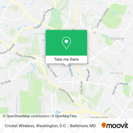
See Cricket Wireless, Loudoun County, on the map
Public Transit to Cricket Wireless in Loudoun County
Wondering how to get to Cricket Wireless in Loudoun County? Moovit helps you find the best way to get to Cricket Wireless with step-by-step directions from the nearest public transit station.
Moovit provides free maps and live directions to help you navigate through your city. View schedules, routes, timetables, and find out how long does it take to get to Cricket Wireless in real time.
Looking for the nearest stop or station to Cricket Wireless? Check out this list of stops closest to your destination: Pacific Blvd & Global Pl; Loudoun Gateway.
Bus: 322, 333, 954.Metro: SILVER.
Want to see if there’s another route that gets you there at an earlier time? Moovit helps you find alternative routes or times. Get directions from and directions to Cricket Wireless easily from the Moovit App or Website.
We make riding to Cricket Wireless easy, which is why over 1.5 million users, including users in Loudoun County, trust Moovit as the best app for public transit. You don’t need to download an individual bus app or train app, Moovit is your all-in-one transit app that helps you find the best bus time or train time available.
For information on prices of bus and metro, costs and ride fares to Cricket Wireless, please check the Moovit app.
Use the app to navigate to popular places including to the airport, hospital, stadium, grocery store, mall, coffee shop, school, college, and university.
Cricket Wireless Address: 45120 Global Plz Sterling, VA 20166 street in Loudoun County
- ChargePoint,
- Blink Charging,
- Hampton Inn Suites Washington Dulles International Airport Sterling,
- Towneplace Suites-Dulles Airport,
- Dulles TRANSIT Center,
- Holiday Inn Washington Dulles International Airport an IHG Hotel Sterling,
- Holiday Inn Washington Dulles Intl Airport,
- Atlantis Logistics,
- Dulles North TRANSIT Center (Moran Rd & Lockridge Rd),
- Capital Message,
- Eclipse Wellness,
- HYATT house-Sterling Int'l North (Hyatt House Sterling / Dulles Airport-North),
- Raj Khalsa Gurdwara,
- Haymarket Transportation,
- Hyatt House Sterling Dulles Airport,
- Best Buy,
- Comfort Inn & Suites Airport Dulles-Gateway,
- House Cleaning Services,
- Country Inn & Suites by Radisson (Country Inn and Suites Washington-Dulles Int'l. Airport),
- Tesla Service Center
Places Near Cricket Wireless (Loudoun County)
- Museum Of The Bible, Washington,
- National Theatre, Washington,
- M&T Bank Stadium, Baltimore,
- Rock Creek Tennis Center, Washington,
- The Anthem, Washington,
- Georgetown, Washington,
- Marriott Marquis Washington, DC, Washington,
- Amazon Hq2, Arlington County,
- Washington National Cathedral, Washington,
- National Zoo, Washington,
- Sibley Memorial Hospital, Washington,
- Washington DC VA Medical Center, Washington,
- National Museum of African American History and Culture, Washington,
- PG Mall, Prince George's County,
- Capital One Arena, Washington,
- Westfield Montgomery Mall, Montgomery County,
- Pennsylvania Ave NW (3rd st and pennsylvania), Washington,
- Warner Theatre, Washington,
- Basilica of the National Shrine, Washington,
- Camden Yards, Baltimore
How to get to popular places in Washington, D.C. - Baltimore, MD with public transit
Get around Loudoun County by public transit!
Traveling around Loudoun County has never been so easy. See step by step directions as you travel to any attraction, street or major public transit station. View bus and train schedules, arrival times, service alerts and detailed routes on a map, so you know exactly how to get to anywhere in Loudoun County.
When traveling to any destination around Loudoun County use Moovit's Live Directions with Get Off Notifications to know exactly where and how far to walk, how long to wait for your line, and how many stops are left. Moovit will alert you when it's time to get off — no need to constantly re-check whether yours is the next stop.
Wondering how to use public transit in Loudoun County or how to pay for public transit in Loudoun County? Moovit public transit app can help you navigate your way with public transit easily, and at minimum cost. It includes public transit fees, ticket prices, and costs. Looking for a map of Loudoun County public transit lines? Moovit public transit app shows all public transit maps in Loudoun County with all Bus, Train, Metro, Light Rail and Ferry routes and stops on an interactive map.
Washington, D.C. - Baltimore, MD has 5 transit type(s), including: Bus, Train, Metro, Light Rail and Ferry, operated by several transit agencies, including WMATA, Montgomery County Ride On, Fairfax Connector, TheBus, PRTC, DASH - Alexandria, Arlington Transit (ART), RTA of Central Maryland, MDOT MTA, MDOT MTA Light RailLink, MDOT MTA Commuter Bus, MDOT MTA Local Bus, FXBGO!, Virginia Railway Express (VRE) and MARC