Culmer stop - Wednesday schedule
| Line | Direction | Time |
|---|---|---|
| ORANGE | Dadeland South Stat.rail Southbound | 5:15 AM |
| GREEN | Palmetto Station Rail Northbound | 5:23 AM |
| GREEN | Dadeland South Stat.rail Southbound | 5:26 AM |
| ORANGE | MIA Northbound | 5:28 AM |
| ORANGE | Dadeland South Stat.rail Southbound | 5:33 AM |
| GREEN | Dadeland South Stat.rail Southbound | 5:41 AM |
| GREEN | Palmetto Station Rail Northbound | 5:43 AM |
| ORANGE | Dadeland South Stat.rail Southbound | 5:48 AM |
| ORANGE | MIA Northbound | 5:51 AM |
| GREEN | Dadeland South Stat.rail Southbound | 5:56 AM |
| GREEN | Palmetto Station Rail Northbound | 5:57 AM |
| ORANGE | Dadeland South Stat.rail Southbound | 6:00 AM |
| GREEN | Dadeland South Stat.rail Southbound | 6:06 AM |
| ORANGE | MIA Northbound | 6:06 AM |
| ORANGE | Dadeland South Stat.rail Southbound | 6:10 AM |
| GREEN | Palmetto Station Rail Northbound | 6:13 AM |
| GREEN | Dadeland South Stat.rail Southbound | 6:16 AM |
| ORANGE | Dadeland South Stat.rail Southbound | 6:20 AM |
| ORANGE | MIA Northbound | 6:21 AM |
| GREEN | Dadeland South Stat.rail Southbound | 6:26 AM |
| GREEN | Palmetto Station Rail Northbound | 6:27 AM |
| ORANGE | Dadeland South Stat.rail Southbound | 6:30 AM |
| ORANGE | MIA Northbound | 6:32 AM |
| GREEN | Dadeland South Stat.rail Southbound | 6:36 AM |
| GREEN | Palmetto Station Rail Northbound | 6:37 AM |
Directions to Culmer stop (Miami) with public transit
The following transit lines have routes that pass near Culmer
 Bus: 7, 77, MIAOVT, 21.
- Train: GREEN, ORANGE, TRIRAIL, TRIRAIL.
How to get to Culmer stop by bus?
Click on the bus route to see step by step directions with maps, line arrival times and updated time schedules.
How to get to Culmer stop by train?
Click on the train route to see step by step directions with maps, line arrival times and updated time schedules.
Bus stops near Culmer stop in Miami
- Nw 8 St Rd & Nw 11 St, 1 min walk,
- Nw 7 Av & Nw 10 St, 4 min walk,
- Nw 5 Av & Nw 10 St, 8 min walk,
Train stations near Culmer station in Miami
- MiamiCentral Station, 3 min walk,
- Historic Overtown/Lyric Theatre, 21 min walk,
Bus lines to Culmer stop in Miami
- MIAOVT, Overtown,
- 77, 77 - M. Gardens NW 183 St/7 Av,
- 21, 21 - Downtown Miami,
What are the closest stations to Culmer?
The closest stations to Culmer are:
- Nw 8 St Rd & Nw 11 St stop is 15 yards away, 1 min walk.
- MiamiCentral Station is 223 yards away, 3 min walk.
- Nw 7 Av & Nw 10 St stop is 317 yards away, 4 min walk.
- Nw 5 Av & Nw 10 St stop is 615 yards away, 8 min walk.
- Historic Overtown/Lyric Theatre station is 1741 yards away, 21 min walk.
Which bus lines stop near Culmer?
These bus lines stop near Culmer: 7, 77.
Which train lines stop near Culmer?
These train lines stop near Culmer: GREEN, ORANGE.
What’s the nearest train station to Culmer in Miami?
The nearest train station to Culmer in Miami is MiamiCentral Station. It’s a 3 min walk away.
What’s the nearest bus station to Culmer in Miami?
The nearest bus station to Culmer in Miami is Nw 8 St Rd & Nw 11 St. It’s a 1 min walk away.
What time is the first train to Culmer in Miami?
The ORANGE is the first train that goes to Culmer in Miami. It stops nearby at 5:13 AM.
What time is the last train to Culmer in Miami?
The GREEN is the last train that goes to Culmer in Miami. It stops nearby at 12:41 AM.
What time is the first bus to Culmer in Miami?
The 77 is the first bus that goes to Culmer in Miami. It stops nearby at 3:15 AM.
What time is the last bus to Culmer in Miami?
The 77 is the last bus that goes to Culmer in Miami. It stops nearby at 3:47 AM.
Culmer station
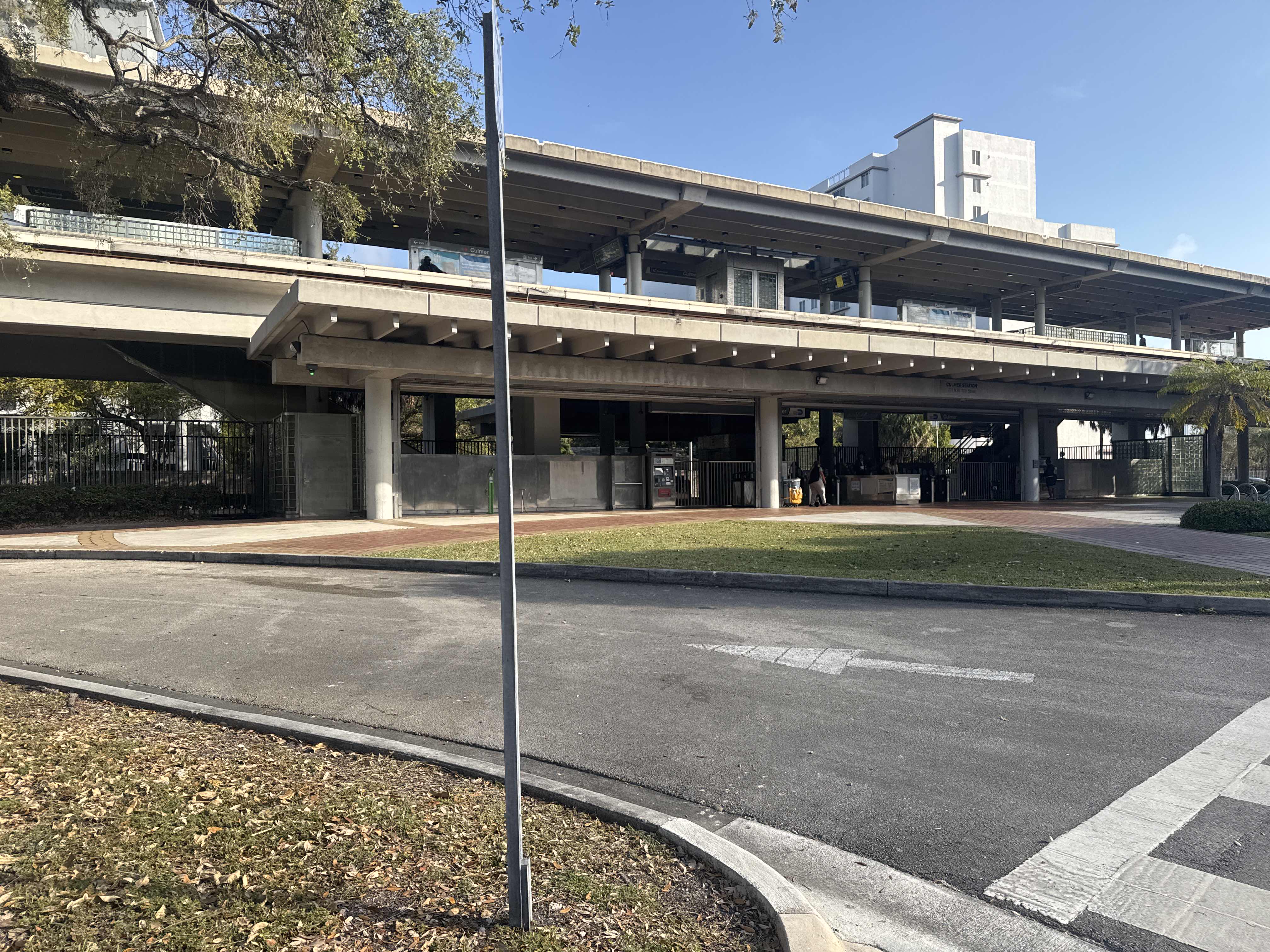 Taken by Anonymous
See Culmer stop, Miami, on the map
Public transit to Culmer stop in Miami
Looking for directions to Culmer in Miami, United States?
Download the Moovit App to find the current schedule and step-by-step directions for Bus or Train routes that pass through Culmer.
Looking for the nearest stops closest to Culmer ? Check out this list of closest stops to your destination: Nw 8 St Rd & Nw 11 St; MiamiCentral Station; Nw 7 Av & Nw 10 St; Nw 5 Av & Nw 10 St; Historic Overtown/Lyric Theatre.
Bus: 7, 77, MIAOVT, 21.Train: GREEN, ORANGE, TRIRAIL, TRIRAIL.
We make riding on public transit to Culmer easy, which is why over 1.7 billion users, including users in Miami trust Moovit as the best app for public transit.
Use the app to navigate to popular places including to the airport, hospital, stadium, grocery store, mall, coffee shop, school, college, and university.
The stop has the following entrances: NW 11th St Rd and NW 11th St
The first line to this stop is ORANGE, at 5:15 AM, and the last line is GREEN at 12:36 AM.
701 Nw 11th St, Miami, FL, USA
This stop serves Broward County Transit and Metrorail’s lines
Popular routes from Culmer stop, Miami
- Nw 8 St Rd & Nw 11 St,
- Nw 7 Av & Nw 10 St,
- Nw 5 Av & Nw 10 St
Bus stops near Culmer stop
- MiamiCentral Station,
- Historic Overtown/Lyric Theatre
Train stations near Culmer station
- Andrews Avenue/Oakland Park Boulevard (North),
- Sw 184 St @ Sw 115 Av,
- Transitway & Avocado Dr Station,
- Us 441/Nw 195 S,
- SW Airoso Blvd & N Crosstown Pkwy,
- Sw 88 St @ Sw 142 Ave,
- SEACREST BLVD at WOOLBRIGHT RD,
- Sw 8 St @ Sw 9 Av,
- Us 1 & Sw 336 St,
- BOYNTON BEACH BLVD at TARGET,
- Nw 7 Av @ Nw 103 St,
- Ne 2 Av & Ne 103 St,
- W Flagler St & Nw 42 Av,
- Sw 8 St & 57 Av,
- Collins Av@Galahad-Dade Bd,
- VISTA PKWY at PBC VISTA CTR ENT,
- Collins Av At 16900 Blk,
- Sw 167 Av @ Sw 292 St,
- Biscayne Bd & Ne 178 St(Point East,
- JOG RD at PINE AVE
Popular public transit stations in Miami
Get around Miami by public transit!
Traveling around Miami has never been so easy. See step by step directions as you travel to any attraction, street or major public transit station. View bus and train schedules, arrival times, service alerts and detailed routes on a map, so you know exactly how to get to anywhere in Miami.
When traveling to any destination around Miami use Moovit's Live Directions with Get Off Notifications to know exactly where and how far to walk, how long to wait for your line, and how many stops are left. Moovit will alert you when it's time to get off — no need to constantly re-check whether yours is the next stop.
Wondering how to use public transit in Miami or how to pay for public transit in Miami? Moovit public transit app can help you navigate your way with public transit easily, and at minimum cost. It includes public transit fees, ticket prices, and costs. Looking for a map of Miami public transit lines? Moovit public transit app shows all public transit maps in Miami with all Bus, Train, Light Rail and Ferry routes and stops on an interactive map.
Miami has 4 transit type(s), including: Bus, Train, Light Rail and Ferry, operated by several transit agencies, including Broward County Transit, Miami-Dade Transit, Metrorail, Palm Tran, Tri-Rail, Brightline, MARTY, City of Homestead Trolley, Key West Transit, Treasure Coast Connector, GoLine IRT, Amtrak, Greyhound-us, FlixBus-us and Aventura Express Shuttle Bus