D4565 - Acil stop - Wednesday schedule
| Line | Direction | Time |
|---|---|---|
| 401/H | Uludağ Üniversitesi İstasyonu | 8:24 AM |
| 401/H | Uludağ Üniversitesi İstasyonu | 12:59 PM |
Directions to D4565 - Acil stop (Nilüfer) with public transit
The following transit lines have routes that pass near D4565 - Acil
 Bus: 2U, H2, H3B, H4, H1.
How to get to D4565 - Acil stop by bus?
Click on the bus route to see step by step directions with maps, line arrival times and updated time schedules.
Bus stops near D4565 - Acil stop in Nilüfer
- Acil 1 (Nilüfer), 1 min walk,
- Acil 1 (Şehir Hastanesi), 1 min walk,
- Acil, 4 min walk,
Bus lines to D4565 - Acil stop in Nilüfer
- H1, Demirtaş - Üniversite İst. Diş Peron,
- H2, Bursa Şehir Hst.-Organize San.İst.,
- H3, Bursa Şehir Hst-Küçük San.İst.,
- H3B, Küçük Sanayi İstasyonu - Bursa Şehir Hastanesi,
- H3D, Bursa Şehir Hst-H3d - Küçük San.İst.,
- B34U, Organize San. İst.-Üniversite İç İst.,
- 105, Gemlik Meydanı - Uludağ Üniv.,
- 601U, İnegöl Terminal - Bursa Şehir Hst.,
- 2U, Uludağ Üniversitesi-Mudanya Budo İskelesi,
- H4, Ring-Bursa Şehir Hastanesi,
- 401/H, Orhangazi,
What are the closest stations to D4565 - Acil?
The closest stations to D4565 - Acil are:
- Acil 1 (Nilüfer) is 25 meters away, 1 min walk.
- Acil 1 (Şehir Hastanesi) is 25 meters away, 1 min walk.
- Acil is 276 meters away, 4 min walk.
Which bus lines stop near D4565 - Acil?
These bus lines stop near D4565 - Acil: 2U, H2, H3B, H4.
What’s the nearest bus station to D4565 - Acil in Nilüfer?
The nearest bus stations to D4565 - Acil in Nilüfer are Acil 1 (Nilüfer) and Acil 1 (Şehir Hastanesi). The closest one is a 1 min walk away.
What time is the first bus to D4565 - Acil in Nilüfer?
The 2U is the first bus that goes to D4565 - Acil in Nilüfer. It stops nearby at 6:16 AM.
What time is the last bus to D4565 - Acil in Nilüfer?
The H2 is the last bus that goes to D4565 - Acil in Nilüfer. It stops nearby at 11:46 PM.
D4565 - Acil station
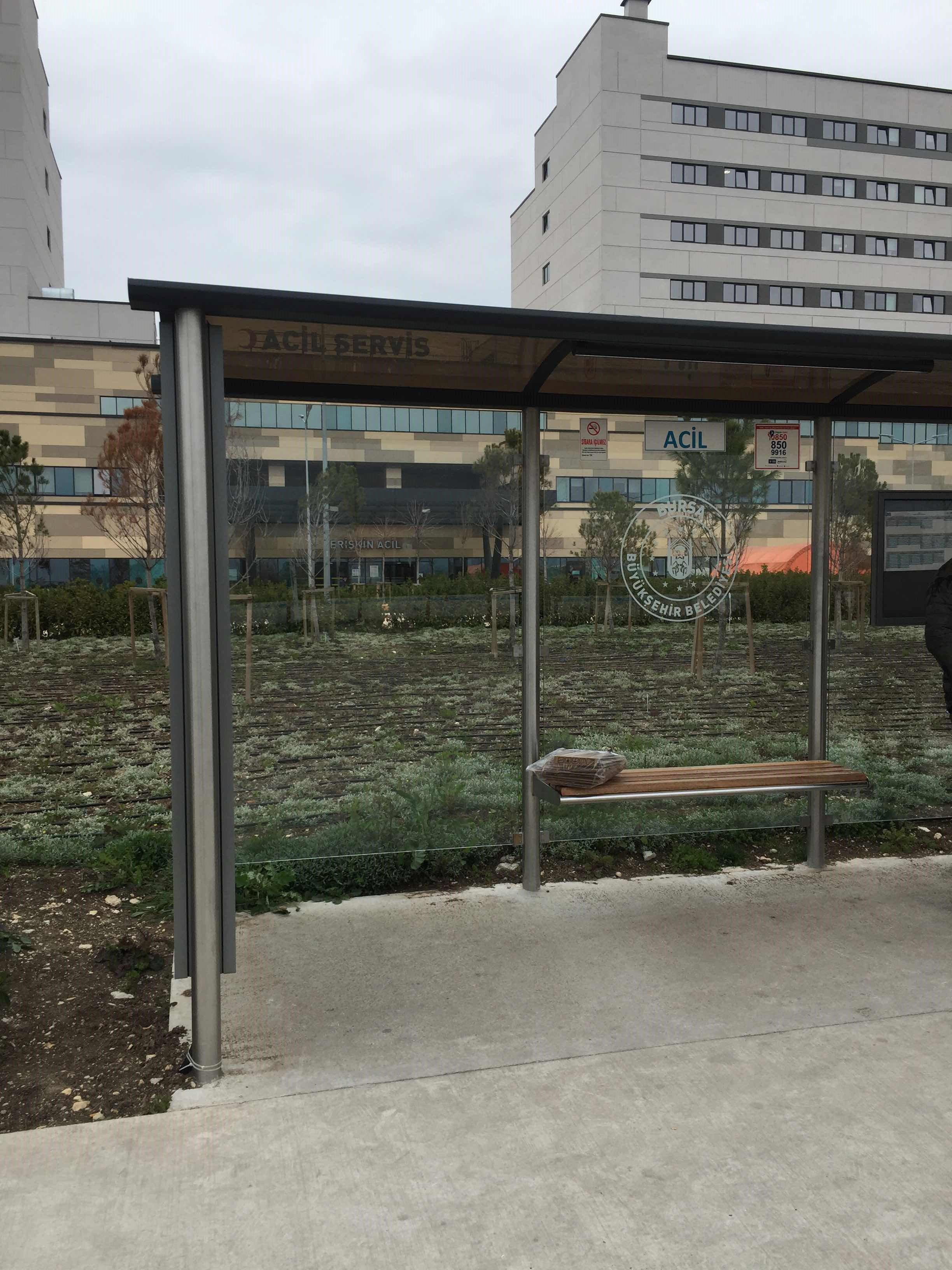 Taken by Anonymous
See D4565 - Acil stop, Nilüfer, on the map
Public transit to D4565 - Acil stop in Nilüfer
Looking for directions to D4565 - Acil in Nilüfer, Turkey?
Download the Moovit App to find the current schedule and step-by-step directions for Bus routes that pass through D4565 - Acil.
Looking for the nearest stops closest to D4565 - Acil ? Check out this list of closest stops to your destination: Acil 1 (Nilüfer); Acil 1 (Şehir Hastanesi); Acil.
Bus: 2U, H2, H3B, H4, H1, H3, H3D, 401/H.
We make riding on public transit to D4565 - Acil easy, which is why over 1.5 million users, including users in Nilüfer trust Moovit as the best app for public transit.
Use the app to navigate to popular places including to the airport, hospital, stadium, grocery store, mall, coffee shop, school, college, and university.
The first line to this stop is 401/H, at 8:24 AM, and the last line is 401/H at 12:59 PM.
This stop serves İlçe Otobüsleri’s lines
- Acil 1 (Nilüfer),
- Acil 1 (Şehir Hastanesi),
- Acil
Bus stops near D4565 - Acil stop
- İnegöl Doğu Garajı 2,
- Geçit - Balat İstasyonu 1,
- Fatih Sultan Mehmet Blv. 13 (Nilüfer),
- Burç Sk. 1,
- Karacaali 2 (Gemlik),
- Bağlaraltı Siteler Köprüsü 2,
- Temenyeri Parkı 2,
- İnegöl Çarşısı Peron 3,
- Dosab,
- Kayapa Toki 2,
- Zerrin Sk. 6,
- Sırameşeler İstasyonu 2,
- Derebahçe 1,
- Goncagül 1,
- Yüzüncü Yıl İstasyonu 2,
- Bademli 2,
- Mimar Sinan Cd. 13 (İnegöl),
- İsabey Cd.,
- Hacivat İstasyonu,
- Çiğdem 1. Sk.
Popular public transit stations in Nilüfer
Get around Nilüfer by public transit!
Traveling around Nilüfer has never been so easy. See step by step directions as you travel to any attraction, street or major public transit station. View bus and train schedules, arrival times, service alerts and detailed routes on a map, so you know exactly how to get to anywhere in Nilüfer.
When traveling to any destination around Nilüfer use Moovit's Live Directions with Get Off Notifications to know exactly where and how far to walk, how long to wait for your line, and how many stops are left. Moovit will alert you when it's time to get off — no need to constantly re-check whether yours is the next stop.
Wondering how to use public transit in Nilüfer or how to pay for public transit in Nilüfer? Moovit public transit app can help you navigate your way with public transit easily, and at minimum cost. It includes public transit fees, ticket prices, and costs. Looking for a map of Nilüfer public transit lines? Moovit public transit app shows all public transit maps in Nilüfer with all Bus, Metro, Light Rail, Cable Car and Gondola routes and stops on an interactive map.
Bursa has 5 transit type(s), including: Bus, Metro, Light Rail, Cable Car and Gondola, operated by several transit agencies, including BBBUS, BursaRay, BurTram, Burulaş, Minibüs, İlçe Otobüsleri and Bursa Teleferik