How to get to DELTA by bus?
Click on the bus route to see step by step directions with maps, line arrival times and updated time schedules.
From PNC Bank Arts Center, Holmdel
308 minFrom Rutgers, New Brunswick
308 minFrom Pop Pop Park Park Pl, Atlantic City
45 minFrom Toms River, NJ, Toms River
191 minFrom Monster Truck Ice Cream Truck, Pacific Ave, Wildwood Crest, Nj
127 minFrom Long Branch Beach & Boardwalk, Long Branch
354 minFrom Freehold, NJ, Freehold
283 min
Bus stop near DELTA in Galloway
- Us-30 at Cologne Ave, 2 min walk,VIEW
Train station near DELTA in Galloway
- Egg Harbor City, 57 min walk,VIEW
Bus lines to DELTA in Galloway
- 554, Atlantic Cty California/New,VIEW
What are the closest stations to DELTA?
The closest stations to DELTA are:
- Us-30 at Cologne Ave is 107 yards away, 2 min walk.
- Egg Harbor City is 4909 yards away, 57 min walk.
Which bus line stops near DELTA?
554 (Lindenwold Patco)
What’s the nearest bus station to DELTA in Galloway?
The nearest bus station to DELTA in Galloway is Us-30 at Cologne Ave. It’s a 2 min walk away.
What time is the first train to DELTA in Galloway?
The ACRL is the first train that goes to DELTA in Galloway. It stops nearby at 4:32 AM.
What time is the last train to DELTA in Galloway?
The ACRL is the last train that goes to DELTA in Galloway. It stops nearby at 2:01 AM.
What time is the first bus to DELTA in Galloway?
The 554 is the first bus that goes to DELTA in Galloway. It stops nearby at 3:13 AM.
What time is the last bus to DELTA in Galloway?
The 554 is the last bus that goes to DELTA in Galloway. It stops nearby at 3:30 AM.
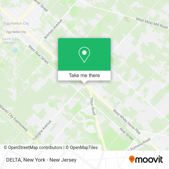
See DELTA, Galloway, on the map
Public Transit to DELTA in Galloway
Wondering how to get to DELTA in Galloway? Moovit helps you find the best way to get to DELTA with step-by-step directions from the nearest public transit station.
Moovit provides free maps and live directions to help you navigate through your city. View schedules, routes, timetables, and find out how long does it take to get to DELTA in real time.
Looking for the nearest stop or station to DELTA? Check out this list of stops closest to your destination: Us-30 at Cologne Ave; Egg Harbor City.
Bus: 554.Train: ACRL.
Want to see if there’s another route that gets you there at an earlier time? Moovit helps you find alternative routes or times. Get directions from and directions to DELTA easily from the Moovit App or Website.
We make riding to DELTA easy, which is why over 1.5 million users, including users in Galloway, trust Moovit as the best app for public transit. You don’t need to download an individual bus app or train app, Moovit is your all-in-one transit app that helps you find the best bus time or train time available.
For information on prices of bus and train, costs and ride fares to DELTA, please check the Moovit app.
Use the app to navigate to popular places including to the airport, hospital, stadium, grocery store, mall, coffee shop, school, college, and university.
DELTA Address: 734 W White Horse Pike Egg Harbor City, NJ 08215 street in Galloway
- Acr Truck Service,
- Incollingos Egg Harbor,
- United States Postal Service,
- USPS,
- Atm Wawa 2,
- Atm PNC at Wawa,
- Amazon Locker-Aldemiro,
- Interstate Batteries,
- Neo Car Rentals - Egg Harbor City,
- IV Nutrition Of New Jersey,
- Vibe Med Spa,
- Pitter-Patter Farm,
- Intoxalock Ignition Interlock,
- Afd Construction & Painting,
- Neo Car Rentals - Egg Harbor City,
- Superior Automotive Repair Of Galloway,
- J&E Concrete Llc,
- Tri State Towing,
- Regional Tire Services,
- Absecon Mills Inc.
Places Near DELTA (Galloway)
- 911 Memorial, Manhattan,
- Wall Street, Manhattan,
- Rockefeller Center, Manhattan,
- 1 Police Plaza, Manhattan,
- qqqq, Manhattan,
- Chinatown, Manhattan,
- Hudson Yards, Manhattan,
- San Gennaro Feast, Manhattan,
- 3 Stone St, Manhattan,
- Mountainside Hospital, Glen Ridge,
- Queens Center Mall, Queens,
- 66 John Street, Manhattan,
- 111 Centre New York City Supreme Court, Manhattan,
- 376 Hudson Street, Manhattan,
- Katz's Deli, Manhattan,
- Times Square, Manhattan,
- Bellevue Hospital, Manhattan,
- Pier 83, Manhattan,
- 26 Federal Plaza, Manhattan,
- SoHo, Manhattan
How to get to popular places in New York - New Jersey with public transit
Get around Galloway by public transit!
Traveling around Galloway has never been so easy. See step by step directions as you travel to any attraction, street or major public transit station. View bus and train schedules, arrival times, service alerts and detailed routes on a map, so you know exactly how to get to anywhere in Galloway.
When traveling to any destination around Galloway use Moovit's Live Directions with Get Off Notifications to know exactly where and how far to walk, how long to wait for your line, and how many stops are left. Moovit will alert you when it's time to get off — no need to constantly re-check whether yours is the next stop.
Wondering how to use public transit in Galloway or how to pay for public transit in Galloway? Moovit public transit app can help you navigate your way with public transit easily, and at minimum cost. It includes public transit fees, ticket prices, and costs. Looking for a map of Galloway public transit lines? Moovit public transit app shows all public transit maps in Galloway with all Bus, Train, Subway, Light Rail, Ferry and Cable Car routes and stops on an interactive map.
New York - New Jersey has 6 transit type(s), including: Bus, Train, Subway, Light Rail, Ferry and Cable Car, operated by several transit agencies, including MTA Subway, Metro-North Railroad, LIRR, PATH, MTA New York City Transit - Express routes, MTA Bus, NJ Transit, NYC Ferry, NICE bus, Bee-Line Bus, NJ Transit Rail, Norwalk Transit District, Hartford Line, River Valley Transit and HART