How to get to DESSANGE by bus?
Click on the bus route to see step by step directions with maps, line arrival times and updated time schedules.
From Quinze-Vingts, Paris
57 minFrom Rue Danielle Casanova, Paris
42 minFrom Institut Gustave Roussy, Villejuif
103 minFrom Le Port-Marly, Le Port-Marly
65 minFrom Rue de la Pierre Levée, Paris
61 minFrom Grande Galerie de l'Évolution, Paris
54 minFrom Rue Traversiere, Paris
56 minFrom Paris, Paris
44 minFrom Musée Rodin, Paris
47 minFrom La Felicità, Paris
63 min
How to get to DESSANGE by metro?
Click on the metro route to see step by step directions with maps, line arrival times and updated time schedules.
From Quinze-Vingts, Paris
50 minFrom Rue Danielle Casanova, Paris
38 minFrom Institut Gustave Roussy, Villejuif
55 minFrom Rue de la Pierre Levée, Paris
47 minFrom Grande Galerie de l'Évolution, Paris
42 minFrom Rue Traversiere, Paris
47 minFrom Paris, Paris
42 minFrom Musée Rodin, Paris
35 minFrom La Felicità, Paris
45 min
Metro stations near DESSANGE in Boulogne-Billancourt
Bus lines to DESSANGE in Boulogne-Billancourt
What are the closest stations to DESSANGE?
The closest stations to DESSANGE are:
- Eglise is 79 meters away, 2 min walk.
- Église is 126 meters away, 2 min walk.
- Boulogne Jean Jaurès is 303 meters away, 5 min walk.
- Marcel Sembat is 1394 meters away, 18 min walk.
Which metro line stops near DESSANGE?
10 (Gare D'Austerlitz)
Which bus lines stop near DESSANGE?
These bus lines stop near DESSANGE: 123, 241, 72.
What’s the nearest metro station to DESSANGE in Boulogne-Billancourt?
The nearest metro station to DESSANGE in Boulogne-Billancourt is Boulogne Jean Jaurès. It’s a 5 min walk away.
What’s the nearest bus station to DESSANGE in Boulogne-Billancourt?
The nearest bus stations to DESSANGE in Boulogne-Billancourt are Eglise and Église. The closest one is a 2 min walk away.
What time is the first light rail to DESSANGE in Boulogne-Billancourt?
The T2 is the first light rail that goes to DESSANGE in Boulogne-Billancourt. It stops nearby at 6:13 AM.
What time is the last light rail to DESSANGE in Boulogne-Billancourt?
The T2 is the last light rail that goes to DESSANGE in Boulogne-Billancourt. It stops nearby at 12:56 AM.
What time is the first metro to DESSANGE in Boulogne-Billancourt?
The 9 is the first metro that goes to DESSANGE in Boulogne-Billancourt. It stops nearby at 5:32 AM.
What time is the last metro to DESSANGE in Boulogne-Billancourt?
The 9 is the last metro that goes to DESSANGE in Boulogne-Billancourt. It stops nearby at 1:12 AM.
What time is the first bus to DESSANGE in Boulogne-Billancourt?
The 123 is the first bus that goes to DESSANGE in Boulogne-Billancourt. It stops nearby at 6:32 AM.
What time is the last bus to DESSANGE in Boulogne-Billancourt?
The 123 is the last bus that goes to DESSANGE in Boulogne-Billancourt. It stops nearby at 12:53 AM.
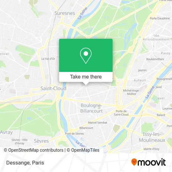
See DESSANGE, Boulogne-Billancourt, on the map
Public Transit to DESSANGE in Boulogne-Billancourt
Wondering how to get to DESSANGE in Boulogne-Billancourt? Moovit helps you find the best way to get to DESSANGE with step-by-step directions from the nearest public transit station.
Moovit provides free maps and live directions to help you navigate through your city. View schedules, routes, timetables, and find out how long does it take to get to DESSANGE in real time.
Looking for the nearest stop or station to DESSANGE? Check out this list of stops closest to your destination: Eglise; Église; Boulogne Jean Jaurès; Marcel Sembat.
Metro: 10, 9.Bus: 123, 241, 72, 260, 6246, SUBB N.
Want to see if there’s another route that gets you there at an earlier time? Moovit helps you find alternative routes or times. Get directions from and directions to DESSANGE easily from the Moovit App or Website.
We make riding to DESSANGE easy, which is why over 1.5 million users, including users in Boulogne-Billancourt, trust Moovit as the best app for public transit. You don’t need to download an individual bus app or train app, Moovit is your all-in-one transit app that helps you find the best bus time or train time available.
For information on prices of metro and bus, costs and ride fares to DESSANGE, please check the Moovit app.
Use the app to navigate to popular places including to the airport, hospital, stadium, grocery store, mall, coffee shop, school, college, and university.
DESSANGE Address: 1 Bis Boulevard Jean Jaures street in Boulogne-Billancourt
- Boulbi,
- 45 Avenue Jean Baptiste Clement,
- Église Notre-Dame de Boulogne,
- Église Notre-Dame Boulogne-Billancourt,
- Salle du Parchamp,
- 6 Rue d'Aguesseau,
- Qg,
- La Maison Bleue,
- Rue de l'Église,
- Square du Parchamp,
- Bus 52 Rue de Billancourt,
- Izivia,
- Saint-Joseph du Parchamp,
- 18 Rue Fessart,
- 3 Rue Pau Casals,
- Amalthée,
- 1 Avenue Charles de Gaulle,
- Casa DLG,
- 9 Boulevard Jean Jaurès,
- Daviot Alexis
Places Near DESSANGE (Boulogne-Billancourt)
- Hôpital Beaujon, Clichy,
- Galeries Lafayette, Paris,
- Hopital Foch, Suresnes,
- Hopital Lariboisière, Paris,
- 29 Rue Manin, Paris,
- Théâtre Mogador, Paris,
- Hôpital Saint-Joseph, Paris,
- Hôpital de la Pitié-Salpêtrière, Paris,
- Hôpital Necker, Paris,
- Atelier Des Lumieres, Paris,
- Fondation Louis Vuitton, Paris,
- Hôpital Cochin, Paris,
- Gare Routière Flixbus, Paris,
- Centre Hospitalier des 15/20, Paris,
- Marché Saint-Pierre, Paris,
- Galeries Lafayette Haussmann, Paris,
- Hôpital Henri Mondor, Creteil,
- Hôpital Pitié Salpêtrière, Paris,
- Beaugrenelle, Paris,
- Créteil Soleil, Creteil
How to get to popular places in Paris with public transit
Get around Boulogne-Billancourt by public transit!
Traveling around Boulogne-Billancourt has never been so easy. See step by step directions as you travel to any attraction, street or major public transit station. View bus and train schedules, arrival times, service alerts and detailed routes on a map, so you know exactly how to get to anywhere in Boulogne-Billancourt.
When traveling to any destination around Boulogne-Billancourt use Moovit's Live Directions with Get Off Notifications to know exactly where and how far to walk, how long to wait for your line, and how many stops are left. Moovit will alert you when it's time to get off — no need to constantly re-check whether yours is the next stop.
Wondering how to use public transit in Boulogne-Billancourt or how to pay for public transit in Boulogne-Billancourt? Moovit public transit app can help you navigate your way with public transit easily, and at minimum cost. It includes public transit fees, ticket prices, and costs. Looking for a map of Boulogne-Billancourt public transit lines? Moovit public transit app shows all public transit maps in Boulogne-Billancourt with all Bus, Train, Metro, Light Rail, RER, Funicular and Gondola routes and stops on an interactive map.
Paris has 7 transit type(s), including: Bus, Train, Metro, Light Rail, RER, Funicular and Gondola, operated by several transit agencies, including RATP, RER, RER Bus de remplacement, Train, Train Bus de remplacement, Tramway Bus de remplacement, TER, ADP, Magical Shuttle, Argenteuil - Boucles de Seine, Autocars Dominique, Bièvre, Brie et 2 Morin, Le Bus - C.C. du Clermontois and Cœur d’Essonne