Danforth Rd at Wolfe Ave stop - Thursday schedule
| Line | Direction | Time |
|---|---|---|
| 300S | Keele Station | 5:08 AM |
| 300S | Keele Station | 5:13 AM |
| 300S | Castle Frank Station | 5:23 AM |
| 300S | Castle Frank Station | 5:28 AM |
| 16 | Warden Station | 5:28 AM |
| 16 | Warden Station | 5:47 AM |
| 16 | Warden Station | 6:00 AM |
| 16 | Warden Station | 6:12 AM |
| 16 | Warden Station | 6:24 AM |
| 16 | Warden Station | 6:36 AM |
| 16 | Warden Station | 6:48 AM |
| 16 | Warden Station | 7:00 AM |
| 16 | Warden Station | 7:12 AM |
| 16 | Warden Station | 7:23 AM |
| 16 | Warden Station | 7:33 AM |
| 16 | Warden Station | 7:43 AM |
| 16 | Warden Station | 7:53 AM |
| 16 | Warden Station | 8:03 AM |
| 16 | Warden Station | 8:13 AM |
| 16 | Warden Station | 8:23 AM |
| 16 | Warden Station | 8:33 AM |
| 16 | Warden Station | 8:43 AM |
| 16 | Warden Station | 8:53 AM |
| 16 | Warden Station | 9:03 AM |
| 16 | Warden Station | 9:13 AM |
Directions to Danforth Rd at Wolfe Ave stop (Toronto) with public transit
The following transit lines have routes that pass near Danforth Rd at Wolfe Ave
 Bus: 16, 300B, 20, 300A, 300S.
- Train: LE, ST.
- Subway: 2.
How to get to Danforth Rd at Wolfe Ave stop by bus?
Click on the bus route to see step by step directions with maps, line arrival times and updated time schedules.
How to get to Danforth Rd at Wolfe Ave stop by train?
Click on the train route to see step by step directions with maps, line arrival times and updated time schedules.
How to get to Danforth Rd at Wolfe Ave stop by subway?
Click on the subway route to see step by step directions with maps, line arrival times and updated time schedules.
Bus stops near Danforth Rd at Wolfe Ave stop in Toronto
- Danforth Rd at Gordonridge Pl East Side, 1 min walk,
- Midland Ave at Wolfe Ave, 3 min walk,
- Danforth Rd at Winter Ave, 3 min walk,
Subway stations near Danforth Rd at Wolfe Ave station in Toronto
- Warden, 18 min walk,
Train stations near Danforth Rd at Wolfe Ave station in Toronto
- Eglinton Go, 32 min walk,
- Kennedy Go, 49 min walk,
Bus lines to Danforth Rd at Wolfe Ave stop in Toronto
- 16, Scarborough Centre Station,
- 300B, Kennedy Station - Platform B,
- 20, Kennedy Station - Platform B,
- 300A, Pearson Airport Terminal 1 - Ground Level Column R4,
- 300S, Kipling Station,
What are the closest stations to Danforth Rd at Wolfe Ave?
The closest stations to Danforth Rd at Wolfe Ave are:
- Danforth Rd at Gordonridge Pl East Side is 55 meters away, 1 min walk.
- Midland Ave at Wolfe Ave is 204 meters away, 3 min walk.
- Danforth Rd at Winter Ave is 235 meters away, 3 min walk.
- Warden is 1312 meters away, 18 min walk.
- Eglinton Go is 2463 meters away, 32 min walk.
- Kennedy Go is 3812 meters away, 49 min walk.
Which bus line stops near Danforth Rd at Wolfe Ave?
16 (Scarborough Centre Station)
Which train line stops near Danforth Rd at Wolfe Ave?
LE (Southbound)
Which subway line stops near Danforth Rd at Wolfe Ave?
2 (Towards Kennedy)
What’s the nearest subway station to Danforth Rd at Wolfe Ave in Toronto?
The nearest subway station to Danforth Rd at Wolfe Ave in Toronto is Warden. It’s a 18 min walk away.
What’s the nearest bus station to Danforth Rd at Wolfe Ave in Toronto?
The nearest bus station to Danforth Rd at Wolfe Ave in Toronto is Danforth Rd at Gordonridge Pl East Side. It’s a 1 min walk away.
What time is the first subway to Danforth Rd at Wolfe Ave in Toronto?
The 2 is the first subway that goes to Danforth Rd at Wolfe Ave in Toronto. It stops nearby at 5:40 AM.
What time is the last subway to Danforth Rd at Wolfe Ave in Toronto?
The 2 is the last subway that goes to Danforth Rd at Wolfe Ave in Toronto. It stops nearby at 2:16 AM.
What time is the first train to Danforth Rd at Wolfe Ave in Toronto?
The LE is the first train that goes to Danforth Rd at Wolfe Ave in Toronto. It stops nearby at 5:42 AM.
What time is the last train to Danforth Rd at Wolfe Ave in Toronto?
The LE is the last train that goes to Danforth Rd at Wolfe Ave in Toronto. It stops nearby at 12:43 AM.
What time is the first bus to Danforth Rd at Wolfe Ave in Toronto?
The 300B is the first bus that goes to Danforth Rd at Wolfe Ave in Toronto. It stops nearby at 3:07 AM.
What time is the last bus to Danforth Rd at Wolfe Ave in Toronto?
The 300B is the last bus that goes to Danforth Rd at Wolfe Ave in Toronto. It stops nearby at 3:57 AM.
Danforth Rd at Wolfe Ave station
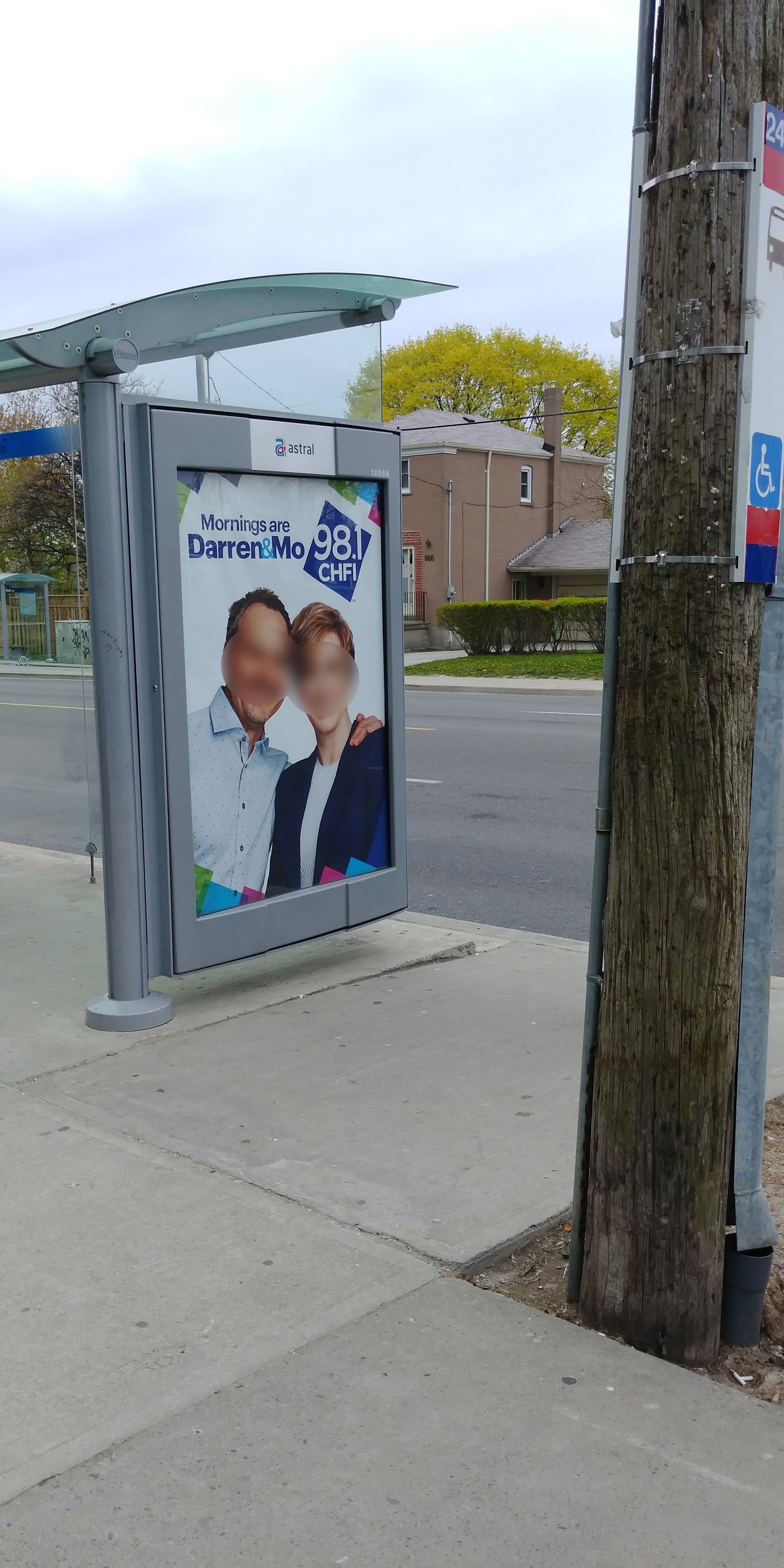 Taken by Anonymous
See Danforth Rd at Wolfe Ave stop, Toronto, on the map
Public transit to Danforth Rd at Wolfe Ave stop (ID: 4951) in Toronto
Looking for directions to Danforth Rd at Wolfe Ave in Toronto, Canada?
Download the Moovit App to find the current schedule and step-by-step directions for Bus, Subway or Train routes that pass through Danforth Rd at Wolfe Ave.
Looking for the nearest stops closest to Danforth Rd at Wolfe Ave ? Check out this list of closest stops to your destination: Danforth Rd at Gordonridge Pl East Side; Midland Ave at Wolfe Ave; Danforth Rd at Winter Ave; Warden; Eglinton Go; Kennedy Go.
Bus: 16, 300B, 20, 300A, 300S.Train: LE, ST.Subway: 2.
We make riding on public transit to Danforth Rd at Wolfe Ave easy, which is why over 1.5 million users, including users in Toronto trust Moovit as the best app for public transit.
Use the app to navigate to popular places including to the airport, hospital, stadium, grocery store, mall, coffee shop, school, college, and university.
Danforth Rd at Wolfe Ave stop’s code is 4951
The first line to this stop is 300S, at 5:08 AM, and the last line is 300S at 4:58 AM.
864 Danforth Road, Toronto, ON, Canada
This stop serves TTC’s lines
- Danforth Rd at Gordonridge Pl East Side,
- Midland Ave at Wolfe Ave,
- Danforth Rd at Winter Ave
Bus stops near Danforth Rd at Wolfe Ave stop
- Warden
Subway station near Danforth Rd at Wolfe Ave station
- Eglinton Go,
- Kennedy Go
Train stations near Danforth Rd at Wolfe Ave station
- 3377 Bayview Ave,
- John St / Woodbine Av,
- Highway 7 / Interchange Way,
- Fennell at Upper Ottawa,
- Oshawa Go,
- Jane St at Maple Leaf Dr,
- Hwy 7 at (Wb) Vaughan Metropolitan Centre Station,
- Fairview Mall Dr / Godstone Rd,
- Pickering Station Go Rail,
- Airport Monorail Link Station,
- King St East at Parliament St,
- Birchmount Rd at Danforth Rd,
- Spadina Ave at King St West,
- Dundas St West Of Dixie Rd,
- Dixon Rd At Carlingview Dr,
- Airport Rd S/Of Countryside Dr,
- Goreway Dr Btwn Hwy 407 Ramp & Steeles Ave E,
- 75 Tandridge Cres,
- 600 Commissioners St,
- Eglinton Ave West at Spadina Rd
Popular public transit stations in Toronto
Get around Toronto by public transit!
Traveling around Toronto has never been so easy. See step by step directions as you travel to any attraction, street or major public transit station. View bus and train schedules, arrival times, service alerts and detailed routes on a map, so you know exactly how to get to anywhere in Toronto.
When traveling to any destination around Toronto use Moovit's Live Directions with Get Off Notifications to know exactly where and how far to walk, how long to wait for your line, and how many stops are left. Moovit will alert you when it's time to get off — no need to constantly re-check whether yours is the next stop.
Wondering how to use public transit in Toronto or how to pay for public transit in Toronto? Moovit public transit app can help you navigate your way with public transit easily, and at minimum cost. It includes public transit fees, ticket prices, and costs. Looking for a map of Toronto public transit lines? Moovit public transit app shows all public transit maps in Toronto with all Bus, Train, Subway, Streetcar and Ferry routes and stops on an interactive map.
Toronto has 5 transit type(s), including: Bus, Train, Subway, Streetcar and Ferry, operated by several transit agencies, including TTC, TTC Streetcar, Toronto Subway, Brampton Transit, MiWay, York Region Transit, GO Transit Bus, GO Transit, Durham Region Transit, UP Express, Grand River Transit, Guelph Transit, Hamilton Street Railway, Burlington Transit and Oakville Transit