How to get to Danger Room Aguascalientes by bus?
Click on the bus route to see step by step directions with maps, line arrival times and updated time schedules.
From Universidad Cuauhtemoc Plantel Aguascalientes
35 minFrom Cecytea Morelos
33 minFrom Paso Blanco
53 minFrom Fraccionamiento El Mezquital
55 minFrom Unidad Deportiva Jesús María
47 minFrom Hacienda San Martín
46 minFrom Pocitos
29 minFrom Fraccionamiento Villa Loma Dorada
54 minFrom Umf 11
39 minFrom Agropecuario Viñedos San Marcos
43 min
Bus stops near Danger Room Aguascalientes
Bus lines to Danger Room Aguascalientes
- RUTA 16, Bellavista,VIEW
- RUTA 19, Vistas De Oriente,VIEW
- RUTA 48, Centro (Panteón De La Cruz),VIEW
- RUTA 04, Mahatma Gandhi,VIEW
- RUTA 08, Utma,VIEW
- RUTA 27, Vicente Guerrero,VIEW
- RUTA 28, Jesús María,VIEW
- RUTA 36, Lunaria,VIEW
- RUTA 37, Hacienda San Marcos,VIEW
- RUTA 43, San Antonio,VIEW
- RUTA 43, San Antonio Via Lomas De New York,VIEW
- RUTA 10, Paseos De Aguascalientes,VIEW
What are the closest stations to Danger Room Aguascalientes?
The closest stations to Danger Room Aguascalientes are:
- Guadalupe, 321 is 46 meters away, 1 min walk.
- Centro (Mercado Terán) is 68 meters away, 1 min walk.
- José F. Elizondo, 104-106 is 92 meters away, 2 min walk.
Which bus lines stop near Danger Room Aguascalientes?
These bus lines stop near Danger Room Aguascalientes: RUTA 01, RUTA 04, RUTA 06, RUTA 16, RUTA 19, RUTA 38, RUTA 43, RUTA 48.
What’s the nearest bus station to Danger Room Aguascalientes?
The nearest bus stations to Danger Room Aguascalientes are Guadalupe, 321 and Centro (Mercado Terán). The closest one is a 1 min walk away.
What time is the first bus to Danger Room Aguascalientes?
The RUTA 08 is the first bus that goes to Danger Room Aguascalientes. It stops nearby at 6:10 AM.
What time is the last bus to Danger Room Aguascalientes?
The RUTA 43 is the last bus that goes to Danger Room Aguascalientes. It stops nearby at 10:21 PM.
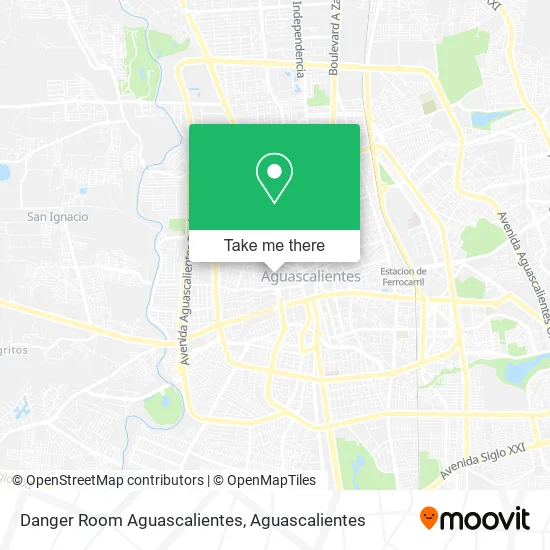
See Danger Room Aguascalientes on the map
Public Transportation to Danger Room Aguascalientes
Wondering how to get to Danger Room Aguascalientes? Moovit helps you find the best way to get to Danger Room Aguascalientes with step-by-step directions from the nearest public transit station.
Moovit provides free maps and live directions to help you navigate through your city. View schedules, routes, timetables, and find out how long does it take to get to Danger Room Aguascalientes in real time.
Looking for the nearest stop or station to Danger Room Aguascalientes? Check out this list of stops closest to your destination: Guadalupe; Centro (Mercado Terán); José F. Elizondo.
Bus: RUTA 01, RUTA 04, RUTA 06, RUTA 16, RUTA 19, RUTA 38, RUTA 43, RUTA 48, RUTA 08, RUTA 27, RUTA 28, RUTA 36, RUTA 10.
Want to see if there’s another route that gets you there at an earlier time? Moovit helps you find alternative routes or times. Get directions from and directions to Danger Room Aguascalientes easily from the Moovit App or Website.
We make riding to Danger Room Aguascalientes easy, which is why over 1.5 million users, including users in Aguascalientes, trust Moovit as the best app for public transit. You don’t need to download an individual bus app or train app, Moovit is your all-in-one transit app that helps you find the best bus time or train time available.
For information on prices of bus, costs and ride fares to Danger Room Aguascalientes, please check the Moovit app.
Use the app to navigate to popular places including to the airport, hospital, stadium, grocery store, mall, coffee shop, school, college, and university.
Danger Room Aguascalientes Address: Calle General Emiliano Zapata 306, Barrio San Marcos, 20070 Aguascalientes, Aguascalientes street in Aguascalientes
- Pediatra,
- Cascara,
- Estomatología Imamura,
- Abarrotes El Paso a los Toros,
- Consultorios Privados,
- La Parrilla de Zapata,
- Fábrica de Velas y Cirios,
- Centro Diocesano de Formación para Religiosos,
- Muyal Centro de Aprendizaje,
- Pizza Lucca's,
- Claramente Psicología,
- Afiladuría La Clínica,
- Cafe Magali,
- Cocina Economica,
- Tapicería Reyes,
- Abarrotes La Sinceridad,
- Centro Social Navarrete,
- Productos de Limpieza El Viejon,
- Alma Taurina,
- Centro Comunitario Inepja
Places Near Danger Room Aguascalientes
- Aeropuerto de Aguascalientes S.A. de C.V., Aguascalientes,
- clinica 3 uaa, Aguascalientes,
- Terminal De Combis, Aguascalientes,
- ESPACIOS, Aguascalientes,
- Centro, Aguascalientes,
- Jesús María, Aguascalientes,
- Agropecuario, Aguascalientes,
- La Isla San Marcos, Aguascalientes,
- Hospital Imss No. 3, Aguascalientes,
- Imss Clinica 1, Aguascalientes,
- Nuevo Hospital Hidalgo, Aguascalientes,
- Ciudad industrial, Aguascalientes,
- Villas de Nuestra Señora de la Asunción, Aguascalientes,
- Isla San Marcos, Aguascalientes,
- Central De Autobuses, Aguascalientes,
- Blvd. Luis Donaldo Colosio, Aguascalientes,
- Universidad Autónoma de Aguascalientes, Aguascalientes,
- Centro Comercial Altaria, Aguascalientes,
- Villasuncion, Aguascalientes,
- Parque Las Tres Centurias, Aguascalientes
How to get to popular places in Aguascalientes with public transit
Get around Aguascalientes by public transit!
Traveling around Aguascalientes has never been so easy. See step by step directions as you travel to any attraction, street or major public transit station. View bus and train schedules, arrival times, service alerts and detailed routes on a map, so you know exactly how to get to anywhere in Aguascalientes.
When traveling to any destination around Aguascalientes use Moovit's Live Directions with Get Off Notifications to know exactly where and how far to walk, how long to wait for your line, and how many stops are left. Moovit will alert you when it's time to get off — no need to constantly re-check whether yours is the next stop.
Wondering how to use public transit in Aguascalientes or how to pay for public transit in Aguascalientes? Moovit public transit app can help you navigate your way with public transit easily, and at minimum cost. It includes public transit fees, ticket prices, and costs. Looking for a map of Aguascalientes public transit lines? Moovit public transit app shows all public transit maps in Aguascalientes with all bus routes and stops on an interactive map.
Aguascalientes has 1 transit type(s), including: bus, operated by several transit agencies, including Coordinación General de Movilidad