How to get to Dashjoin by bus?
Click on the bus route to see step by step directions with maps, line arrival times and updated time schedules.
From Globus Restaurant Waghäusel, Waghäusel
87 minFrom Thoraxklinik Heidelberg, Neuenheim
78 minFrom Marie-Baum-Schule Heidelberg, Wieblingen
77 minFrom Thingstätte, Handschuhsheim
79 minFrom Universitätsklinikum Heidelberg-Notaufnahme, Neuenheim
74 minFrom Agaplesion Bethanien Krankenhaus Heidelberg, Südstadt
66 minFrom GRN-Klinik Schwetzingen, Schwetzingen
35 minFrom Neuenheimer Feld, Neuenheim
68 minFrom Luxor Filmpalast, Bahnstadt
63 min
How to get to Dashjoin by train?
Click on the train route to see step by step directions with maps, line arrival times and updated time schedules.
Bus stops near Dashjoin in Walldorf
Train station near Dashjoin in Walldorf
- Wiesloch-Walldorf, Bf, 23 min walk,VIEW
Bus lines to Dashjoin in Walldorf
- 749, Leimen, Kurpfalz-Centrum - Wiesloch-Walldorf, Bf Bstg West2,VIEW
- 750, Schwetzingen, Bahnhof Bstg A - Wiesloch-Walldorf, Bf Bstg West1,VIEW
- 798, Wiesloch-Walldorf, Bf Bstg West2 - Speyer, Hbf/ZOB Bstg 8,VIEW
- 799, Walldorf, Drehscheibe Bstg A - Sinsheim, Hauptbahnhof,VIEW
- 707, Wiesloch-Walldorf, Bf,VIEW
- 7907, Walldorf, Sap-Headquarters,VIEW
- 721, Heidelberg, Hauptbahnhof,VIEW
- 718, Altlußheim, Rebstöckl,VIEW
- 720, St. Leon-Rot, See,VIEW
- 706, Walldorf, Rathaus,VIEW
- 708, Walldorf, Schulzentrum,VIEW
- 7908, Walldorf, Schwimmbad,VIEW
What are the closest stations to Dashjoin?
The closest stations to Dashjoin are:
- Walldorf, Industriestr. is 558 meters away, 8 min walk.
- Walldorf, Sap-Headquarters is 582 meters away, 8 min walk.
- Walldorf, Sap Campus is 652 meters away, 9 min walk.
- Walldorf, Mühlweg Kreisel is 678 meters away, 9 min walk.
- Walldorf, Nahversorgungszentr. is 681 meters away, 9 min walk.
- Wiesloch-Walldorf, Bf is 1801 meters away, 23 min walk.
Which train lines stop near Dashjoin?
These train lines stop near Dashjoin: RB68, RE71, S3.
Which bus lines stop near Dashjoin?
These bus lines stop near Dashjoin: 707, 718, 720, 721, 749, 750.
What’s the nearest train station to Dashjoin in Walldorf?
The nearest train station to Dashjoin in Walldorf is Wiesloch-Walldorf, Bf. It’s a 23 min walk away.
What’s the nearest bus station to Dashjoin in Walldorf?
The nearest bus stations to Dashjoin in Walldorf are Walldorf, Industriestr. and Walldorf, Sap-Headquarters. The closest one is a 8 min walk away.
What time is the first train to Dashjoin in Walldorf?
The S3 is the first train that goes to Dashjoin in Walldorf. It stops nearby at 4:13 AM.
What time is the last train to Dashjoin in Walldorf?
The S3 is the last train that goes to Dashjoin in Walldorf. It stops nearby at 1:52 AM.
What time is the first bus to Dashjoin in Walldorf?
The 798 is the first bus that goes to Dashjoin in Walldorf. It stops nearby at 4:58 AM.
What time is the last bus to Dashjoin in Walldorf?
The 706 is the last bus that goes to Dashjoin in Walldorf. It stops nearby at 1:01 AM.
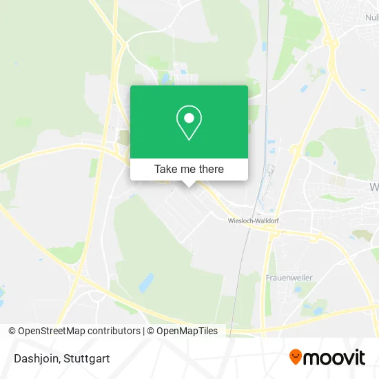
See Dashjoin, Walldorf, on the map
Public Transit to Dashjoin in Walldorf
Wondering how to get to Dashjoin in Walldorf? Moovit helps you find the best way to get to Dashjoin with step-by-step directions from the nearest public transit station.
Moovit provides free maps and live directions to help you navigate through your city. View schedules, routes, timetables, and find out how long does it take to get to Dashjoin in real time.
Looking for the nearest stop or station to Dashjoin? Check out this list of stops closest to your destination: Walldorf, Industriestr.; Walldorf, Sap-Headquarters; Walldorf, Sap Campus; Walldorf, Mühlweg Kreisel; Walldorf, Nahversorgungszentr.; Wiesloch-Walldorf.
Train: RB68, RE71, S3, RE40, RE73.Bus: 707, 718, 720, 721, 749, 750, 798, 799, 7907, 706, 708.
Want to see if there’s another route that gets you there at an earlier time? Moovit helps you find alternative routes or times. Get directions from and directions to Dashjoin easily from the Moovit App or Website.
We make riding to Dashjoin easy, which is why over 1.5 million users, including users in Walldorf, trust Moovit as the best app for public transit. You don’t need to download an individual bus app or train app, Moovit is your all-in-one transit app that helps you find the best bus time or train time available.
For information on prices of bus, train and light rail, costs and ride fares to Dashjoin, please check the Moovit app.
Use the app to navigate to popular places including to the airport, hospital, stadium, grocery store, mall, coffee shop, school, college, and university.
Dashjoin Address: Altrottstraße 31 69190 Walldorf street in Walldorf
- Sovarto,
- Kirchholtes Consulting,
- B1-Support,
- Immobiete,
- M Formatics,
- Interfrog Produktion,
- Bundesverband der Energiemarktdienstleister,
- Rechtsanwälte Lamadé,
- Unovis,
- Romtec,
- Trecon Holding,
- Tatkraft Events,
- Institut Bau,
- Lieferant4me,
- Montan Capital,
- @Hanseflow,
- Wohnraum Eins Immobilien,
- Mcp,
- Villa Knauer,
- International Association For SAP Partners
Places Near Dashjoin (Walldorf)
- Waldfriedhof, Degerloch,
- Porsche-Arena, Bad Cannstatt,
- Klinikum Stuttgart - Katharinenhospital, Stuttgart-Mitte,
- Gasometer Pforzheim, Pforzheim,
- Mettingen Eros-Center Puff Laufhaus, Esslingen Am Neckar,
- Mercedes-Benz Museum (Mercedes Museum Stuttgart), Bad Cannstatt,
- Mercedes-Benz Museum, Bad Cannstatt,
- Gleis 101/102 (tief), Stuttgart-Mitte,
- Hauptbahnhof Stuttgart, Stuttgart-Mitte,
- Geilhaus Haus 33a, Reutlingen-Betzingen,
- Hanns-Martin-Schleyer-Halle, Bad Cannstatt,
- Porsche Museum, Zuffenhausen,
- Schleyerhalle, Bad Cannstatt,
- Hanns-Martin-Schleyer-Halle (Stuttgart Hans-Martin-Schleyerhalle), Bad Cannstatt,
- Pariser Platz Stuttgart, Stuttgart-Mitte,
- SI-Centrum, Möhringen,
- Marmorsaal Im Weissenburgpark, Stuttgart-Süd,
- Im Wizemann (Halle), Bad Cannstatt,
- Wilhelma (U-Bahn Wilhelma), Bad Cannstatt,
- FlixBus Haltestelle, Stuttgart
How to get to popular places in Stuttgart with public transit
Get around Walldorf by public transit!
Traveling around Walldorf has never been so easy. See step by step directions as you travel to any attraction, street or major public transit station. View bus and train schedules, arrival times, service alerts and detailed routes on a map, so you know exactly how to get to anywhere in Walldorf.
When traveling to any destination around Walldorf use Moovit's Live Directions with Get Off Notifications to know exactly where and how far to walk, how long to wait for your line, and how many stops are left. Moovit will alert you when it's time to get off — no need to constantly re-check whether yours is the next stop.
Wondering how to use public transit in Walldorf or how to pay for public transit in Walldorf? Moovit public transit app can help you navigate your way with public transit easily, and at minimum cost. It includes public transit fees, ticket prices, and costs. Looking for a map of Walldorf public transit lines? Moovit public transit app shows all public transit maps in Walldorf with all Bus, Train, Subway, Light Rail, Ferry, S-Bahn and Funicular routes and stops on an interactive map.
Stuttgart has 7 transit type(s), including: Bus, Train, Subway, Light Rail, Ferry, S-Bahn and Funicular, operated by several transit agencies, including SSB - Stadtbahn, SSB, SSB - Seilbahn / Zacke, S-Bahn Stuttgart, Rhein-Neckar-Verkehr GmbH (rnv), Karlsruher Verkehrsverbund, DB AG, DB Regiobus BW, Arverio Baden-Württemberg GmbH, DB RegioNetz Verkehrs GmbH Westfrankenbahn, DB Regio AG Baden-Württemberg, Südwestdeutsche Verkehrs-AG, DB Regio AG Mitte Region Hessen, DB and Bodensee-Oberschwaben-Bahn