Directions to Datalink (Mambucaba) with public transportation
The following transit lines have routes that pass near Datalink
 Bus: L101, L406, T20, 227, RODOVIÁRIO.
How to get to Datalink by bus?
Click on the bus route to see step by step directions with maps, line arrival times and updated time schedules.
From Country Club Porto Frade, Cunhambebe
47 minFrom Centro De Informaçôes Da Usina Nuclear, Mambucaba
48 minFrom Rod. Gov. Mário Covas, Km 522 s/n, Cunhambebe
53 minFrom Praia Brava, Mambucaba
26 minFrom Condomínio Porto Frade, Cunhambebe
46 minFrom Quiosque Todo Torto, Prainha de Mambucaba, Tarituba
24 minFrom Usina Nuclear Angra I, Cunhambebe
36 min
Bus stops near Datalink in Mambucaba
Bus lines to Datalink in Mambucaba
What are the closest stations to Datalink?
The closest stations to Datalink are:
- Avenida Francisco Magalhães De Castro, 613-635 is 49 meters away, 1 min walk.
- Rodovia Rio-Santos, 122 is 1140 meters away, 15 min walk.
- Parque Mambucaba is 1171 meters away, 15 min walk.
Which bus lines stop near Datalink?
These bus lines stop near Datalink: L101, L406, T20.
What’s the nearest bus station to Datalink in Mambucaba?
The nearest bus station to Datalink in Mambucaba is Avenida Francisco Magalhães De Castro, 613-635. It’s a 1 min walk away.
What time is the first bus to Datalink in Mambucaba?
The L406 is the first bus that goes to Datalink in Mambucaba. It stops nearby at 3:43 AM.
What time is the last bus to Datalink in Mambucaba?
The L406 is the last bus that goes to Datalink in Mambucaba. It stops nearby at 1:56 AM.
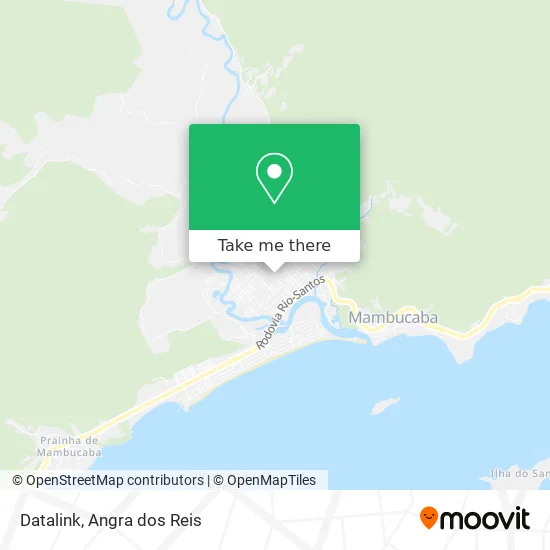
See Datalink, Mambucaba, on the map
Public Transit to Datalink in Mambucaba
Wondering how to get to Datalink in Mambucaba? Moovit helps you find the best way to get to Datalink with step-by-step directions from the nearest public transit station.
Moovit provides free maps and live directions to help you navigate through your city. View schedules, routes, timetables, and find out how long does it take to get to Datalink in real time.
Looking for the nearest stop or station to Datalink? Check out this list of stops closest to your destination: Avenida Francisco Magalhães De Castro; Rodovia Rio-Santos; Parque Mambucaba.
Bus: L101, L406, T20, 227, RODOVIÁRIO.
Want to see if there’s another route that gets you there at an earlier time? Moovit helps you find alternative routes or times. Get directions from and directions to Datalink easily from the Moovit App or Website.
We make riding to Datalink easy, which is why over 1.5 million users, including users in Mambucaba, trust Moovit as the best app for public transit. You don’t need to download an individual bus app or train app, Moovit is your all-in-one transit app that helps you find the best bus time or train time available.
For information on prices of bus, costs and ride fares to Datalink, please check the Moovit app.
Use the app to navigate to popular places including to the airport, hospital, stadium, grocery store, mall, coffee shop, school, college, and university.
Datalink Address: Avenida Francisco Magalhães de Castro, 546D Parque Mambucaba Angra dos Reis-RJ 23954-210 street in Mambucaba
- Iza Magazine,
- Wow Serviços de Lavanderia,
- Gansos Baby,
- Ki Delicia de Mambucaba Sorvetes e Lanches Ltda,
- Blessed Turismo,
- Bazar Arte & Cia,
- Geracao Digital,
- Casa das Carnes Estância Gourmet,
- Ótica Popular Barateira,
- Drogatur no P Mambucaba,
- Dr. Ângela Colamarco Faria,
- Crio Angra Radiologia e Imagem Oral,
- Sueli dos Santos,
- Igreja São José Operário,
- Rainhas do Sorriso,
- J7 Assessoria Esportiva,
- Pousada Cardoso,
- Uniasselvi,
- Sj Posto,
- Microlins Parque Mambucaba
Places Near Datalink (Mambucaba)
- Vila Galé Eco Resort De Angra, Angra Dos Reis,
- Avenida Almirante Jair Carneiro Toscano de Brito 110, Angra Dos Reis,
- Rodovia BR 101, Km 533 s/n, Mambucaba,
- Rodovia Procurador Haroldo Fernandes Duarte, Km 513,5 s / n, Cunhambebe,
- Verolme, Jacuecanga,
- Rua Prefeito João Gregório Galindo 2487, Angra Dos Reis,
- Centro Histórico de Paraty, Parati,
- Praia do Laboratório, Angra Dos Reis,
- Mambucaba, Mambucaba,
- Cachoeira do Tobogã, Parati,
- Garatucaia, Angra Dos Reis,
- Avenida Antônio Bertholdo da Silva Jordão 7346, Jacuecanga,
- Vila Residencial De Mambucaba, Mambucaba,
- Rua Prefeito João Gregório Galindo, Cunhambebe,
- Condominio Laranjeiras, Parati Mirim,
- BR 101, Km 508 s/n, Cunhambebe,
- Rua Cônegos Bittencourt, Angra Dos Reis,
- Praia de Paraty Mirim, Parati,
- praia jabaquara - parati, Parati,
- Alambique Engenho D'Ouro, Parati
How to get to popular places in Angra dos Reis with public transit
Get around Mambucaba by public transit!
Traveling around Mambucaba has never been so easy. See step by step directions as you travel to any attraction, street or major public transit station. View bus and train schedules, arrival times, service alerts and detailed routes on a map, so you know exactly how to get to anywhere in Mambucaba.
When traveling to any destination around Mambucaba use Moovit's Live Directions with Get Off Notifications to know exactly where and how far to walk, how long to wait for your line, and how many stops are left. Moovit will alert you when it's time to get off — no need to constantly re-check whether yours is the next stop.
Wondering how to use public transit in Mambucaba or how to pay for public transit in Mambucaba? Moovit public transit app can help you navigate your way with public transit easily, and at minimum cost. It includes public transit fees, ticket prices, and costs. Looking for a map of Mambucaba public transit lines? Moovit public transit app shows all public transit maps in Mambucaba with all Bus and Ferry routes and stops on an interactive map.
Angra dos Reis has 2 transit type(s), including: Bus and Ferry, operated by several transit agencies, including Viação Senhor do Bonfim, Colitur Transportes Rodoviários, Cooparatyense (Vans), Costa Verde Transportes, Barcas Rio, Objetiva Tour, Vilanova Tour, Rodoviário Oceano, BusUFF and Colitur (Tarifa Zero - Paraty)