How to get to Davinci Technology Group by bus?
Click on the bus route to see step by step directions with maps, line arrival times and updated time schedules.
From Casino Dr, Fort Wayne
60 minFrom Masters Insurance & Financial Services, Fort Wayne
42 minFrom The BOC, Fort Wayne
22 minFrom TACO BELL, Fort Wayne
48 minFrom Sheley Therapy Services, Fort Wayne
43 minFrom Hunntees Wax Bar, Fort Wayne
65 minFrom Nicholas Boylan, Fort Wayne
85 minFrom Burcraft Fabrics, Fort Wayne
65 min
Bus stops near Davinci Technology Group in Fort Wayne
Bus lines to Davinci Technology Group in Fort Wayne
What are the closest stations to Davinci Technology Group?
The closest stations to Davinci Technology Group are:
- Taylor at Broadway (Wb) is 140 yards away, 2 min walk.
- Broadway Near Swinney (Sb) is 453 yards away, 6 min walk.
- Broadway @ Electric Works is 538 yards away, 7 min walk.
- Fairfield at Pierce (Nb) is 2162 yards away, 26 min walk.
Which bus lines stop near Davinci Technology Group?
These bus lines stop near Davinci Technology Group: 1SS, 2TC, 9BT.
What’s the nearest bus station to Davinci Technology Group in Fort Wayne?
The nearest bus station to Davinci Technology Group in Fort Wayne is Taylor at Broadway (Wb). It’s a 2 min walk away.
What time is the first bus to Davinci Technology Group in Fort Wayne?
The 9BT is the first bus that goes to Davinci Technology Group in Fort Wayne. It stops nearby at 5:54 AM.
What time is the last bus to Davinci Technology Group in Fort Wayne?
The 1W is the last bus that goes to Davinci Technology Group in Fort Wayne. It stops nearby at 8:23 PM.
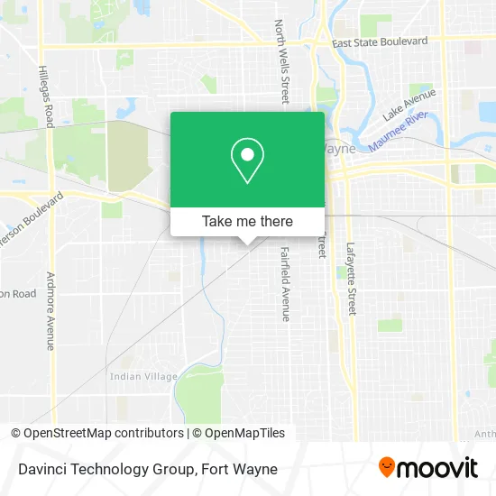
See Davinci Technology Group, Fort Wayne, on the map
Public Transit to Davinci Technology Group in Fort Wayne
Wondering how to get to Davinci Technology Group in Fort Wayne? Moovit helps you find the best way to get to Davinci Technology Group with step-by-step directions from the nearest public transit station.
Moovit provides free maps and live directions to help you navigate through your city. View schedules, routes, timetables, and find out how long does it take to get to Davinci Technology Group in real time.
Looking for the nearest stop or station to Davinci Technology Group? Check out this list of stops closest to your destination: Taylor at Broadway (Wb); Broadway Near Swinney (Sb); Broadway @ Electric Works; Fairfield at Pierce (Nb).
Bus: 1SS, 2TC, 9BT, 1W, 21, 3VW.
Want to see if there’s another route that gets you there at an earlier time? Moovit helps you find alternative routes or times. Get directions from and directions to Davinci Technology Group easily from the Moovit App or Website.
We make riding to Davinci Technology Group easy, which is why over 1.5 million users, including users in Fort Wayne, trust Moovit as the best app for public transit. You don’t need to download an individual bus app or train app, Moovit is your all-in-one transit app that helps you find the best bus time or train time available.
For information on prices of bus, costs and ride fares to Davinci Technology Group, please check the Moovit app.
Get to Davinci Technology Group with public transit and pay for the ride in the Moovit app. In addition to all info you may need for your trip to Davinci Technology Group, including live directions, real-time arrivals and fare prices, you can also buy public transit passes for your rides. No need for cash or paper tickets to get to Davinci Technology Group - everything you need is accessible in the app with a click of the button.
Use the app to navigate to popular places including to the airport, hospital, stadium, grocery store, mall, coffee shop, school, college, and university.
Davinci Technology Group Address: 2042 Broadway Fort Wayne, IN 46802 street in Fort Wayne
- Icon Barberlounge,
- Fire Grill,
- Metro by T-Mobile,
- Family Dollar Store,
- Poplar Village Gardens,
- George's International Market ,
- American Garage Door,
- Amazon Locker-Manama,
- Triple Crown Wireless,
- Shell,
- Neveria la Brisa,
- Magnificent Cutz,
- Celisa Expert Investor,
- Wesleyan Redeemer Bible Methodist Church,
- B & L Barber Service,
- Extreme Artisan,
- Emmaus Lutheran Elementary School,
- Broadway St,
- Prevail Transport,
- Precision Painting
Places Near Davinci Technology Group (Fort Wayne)
- Legacy Dental,
- Walmart Supercenter, Fort Wayne,
- Parkview North Hospital,
- Parkview Randallia Infusion Center, Fort Wayne,
- North Side High School, Fort Wayne,
- Parkview Hospital Parking Garage, Fort Wayne,
- german Roasted Nuts Stand (Glenbrook Mall), Fort Wayne,
- Fort Wayne International Airport (FWA) (Fort Wayne International Airport), Fort Wayne,
- Jefferson Pointe, Fort Wayne,
- South Side Baseball - Derbyshire Field,
- Sweetwater Sound, Fort Wayne,
- Trine University, Fort Wayne,
- Fort Wayne International Airport, Fort Wayne,
- Lutheran Ministries Media, Fort Wayne,
- Dupont Hospital, Fort Wayne,
- Illinois Road & Hadley Road Intersection, Fort Wayne,
- Maplecrest Rd / Stellhorn Rd, Fort Wayne,
- Lima Rd / W Coliseum Blvd, Fort Wayne,
- Aunt Gena's Sweet Corn,
- Citilink Bus 10 (New Haven), Fort Wayne
How to get to popular places in Fort Wayne with public transit
Get around Fort Wayne by public transit!
Traveling around Fort Wayne has never been so easy. See step by step directions as you travel to any attraction, street or major public transit station. View bus and train schedules, arrival times, service alerts and detailed routes on a map, so you know exactly how to get to anywhere in Fort Wayne.
When traveling to any destination around Fort Wayne use Moovit's Live Directions with Get Off Notifications to know exactly where and how far to walk, how long to wait for your line, and how many stops are left. Moovit will alert you when it's time to get off — no need to constantly re-check whether yours is the next stop.
Wondering how to use public transit in Fort Wayne or how to pay for public transit in Fort Wayne? Moovit public transit app can help you navigate your way with public transit easily, and at minimum cost. It includes public transit fees, ticket prices, and costs. Looking for a map of Fort Wayne public transit lines? Moovit public transit app shows all public transit maps in Fort Wayne with all bus routes and stops on an interactive map.
Fort Wayne has 1 transit type(s), including: bus, operated by several transit agencies, including Citilink