How to get to De'Sign by bus?
Click on the bus route to see step by step directions with maps, line arrival times and updated time schedules.
From Airport, Pisa
184 minFrom Montenero Sanctuary, Livorno
42 minFrom IKEA, Pisa
182 minFrom Santa Lucia Beach, Rosignano Marittimo
49 minFrom Sonnino Beach, Livorno
45 minFrom San Piero a Grado, Pisa
118 minFrom Marina di Pisa, Pisa
111 minFrom Postal Workers Club - Route Number 200, Pisa
112 minFrom IRCCS Stella Maris, Pisa
93 minFrom Small Hospital, Pisa
186 min
How to get to De'Sign by train?
Click on the train route to see step by step directions with maps, line arrival times and updated time schedules.
Bus stops near De'Sign in Livorno
Train station near De'Sign in Livorno
- Livorno Central, 36 min walk,VIEW
Ferry station near De'Sign in Livorno
- Livorno Medici Port, 57 min walk,VIEW
Bus lines to De'Sign in Livorno
- 8N, Livorno Railway Station,VIEW
- 5, Martin Luther King Street,VIEW
- 102, Cecina Libertà,VIEW
- 104, Collesalvetti, Park Bologna,VIEW
- 3, Livorno, Via Cogorano,VIEW
- 10, Stagno Vittorio Square,VIEW
- 12, Valle Benedetta Sambuca,VIEW
- 105, Nugola Schools,VIEW
- 1+, Central Station - Carducci - Grande - Italia - Ardenza Mare - Miramare,VIEW
- 2+, Central Station - Garibaldi - Grande - Liberty - La Rosa - Leccia/Montenero/Miramare,VIEW
- 10, Stagno-Aurelia-Garibaldi-Cogorano,VIEW
- 21, Station - Carducci - Ardenza Mare - Antignano - Ardenza Terra - Garibaldi - Station,VIEW
- 22, Station - Garibaldi - Ardenza Terra - Ardenza Mare - Carducci - Station,VIEW
- 4+, Municipal Cemeteries - Grande - Marconi - Hospital - Magrignano - Salviano Costanza,VIEW
- 30, Calambrone-Livorno,VIEW
- 104, Collesalvetti-Vicarello-Guasticce-Stagno-Livorno,VIEW
What are the closest stations to De'Sign?
The closest stations to De'Sign are:
- Via San Marco is 82 meters away, 2 min walk.
- Via Della Venezia is 311 meters away, 5 min walk.
- Livorno, Outer Ring Road is 437 meters away, 6 min walk.
- Livorno, Via Cogorano is 508 meters away, 7 min walk.
- Cogorano D is 518 meters away, 7 min walk.
- Livorno, Grande is 543 meters away, 8 min walk.
- Livorno Republic Square is 640 meters away, 9 min walk.
- Livorno Central is 2794 meters away, 36 min walk.
- Livorno Medici Port is 4360 meters away, 57 min walk.
Which bus lines stop near De'Sign?
These bus lines stop near De'Sign: 1+, 102, 2+, 30, 8R.
Which train line stops near De'Sign?
R (Empoli/Grosseto/Pisa)
What’s the nearest bus station to De'Sign in Livorno?
The nearest bus station to De'Sign in Livorno is Via San Marco. It’s a 2 min walk away.
What time is the first train to De'Sign in Livorno?
The R is the first train that goes to De'Sign in Livorno. It stops nearby at 5:20 AM.
What time is the last train to De'Sign in Livorno?
The R is the last train that goes to De'Sign in Livorno. It stops nearby at 12:50 AM.
What time is the first bus to De'Sign in Livorno?
The 30 is the first bus that goes to De'Sign in Livorno. It stops nearby at 7:06 AM.
What time is the last bus to De'Sign in Livorno?
The 21 is the last bus that goes to De'Sign in Livorno. It stops nearby at 1:12 AM.
What time is the first ferry to De'Sign in Livorno?
The A1 is the first ferry that goes to De'Sign in Livorno. It stops nearby at 8:30 AM.
What time is the last ferry to De'Sign in Livorno?
The A1 is the last ferry that goes to De'Sign in Livorno. It stops nearby at 8:45 PM.
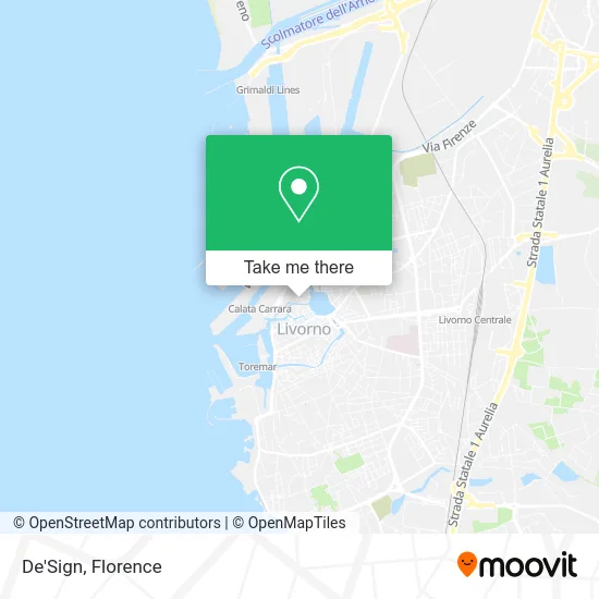
See De'Sign, Livorno, on the map
Public Transit to De'Sign in Livorno
Wondering how to get to De'Sign in Livorno? Moovit helps you find the best way to get to De'Sign with step-by-step directions from the nearest public transit station.
Moovit provides free maps and live directions to help you navigate through your city. View schedules, routes, timetables, and find out how long does it take to get to De'Sign in real time.
Looking for the nearest stop or station to De'Sign? Check out this list of stops closest to your destination: Via San Marco; Via Della Venezia; Livorno, Outer Ring Road; Livorno, Via Cogorano; Cogorano D; Livorno, Grande; Livorno Republic Square; Livorno Central; Livorno Medici Port.
Bus: 1+, 102, 2+, 30, 8R, 8N, 5, 104, 3, 10, 12, 105.Train: R.Ferry: A1.
Want to see if there’s another route that gets you there at an earlier time? Moovit helps you find alternative routes or times. Get directions from and directions to De'Sign easily from the Moovit App or Website.
We make riding to De'Sign easy, which is why over 1.5 million users, including users in Livorno, trust Moovit as the best app for public transit. You don’t need to download an individual bus app or train app, Moovit is your all-in-one transit app that helps you find the best bus time or train time available.
For information on prices of bus, train and funicular, costs and ride fares to De'Sign, please check the Moovit app.
Use the app to navigate to popular places including to the airport, hospital, stadium, grocery store, mall, coffee shop, school, college, and university.
De'Sign Address: Via del Forte San Pietro, 4 57123 Livorno street in Livorno
- Sergio Giuseppe Salvatore Sciacca,
- Murolo Damiano,
- Municipal Archive,
- Anastals,
- I Sit and Taste,
- Jubilation Gospel Choir (Livorno),
- Icecart,
- Tailored Cocktail Bar,
- Former Dominican Prison,
- Venezia Nuova,
- Fitness Experience,
- San Marco Theater Livorno,
- Black Ox,
- Venice Quarter,
- Livornesi Warehouses S.a.s. by della Pace Francesco & C.,
- Milky Way House,
- Zaki - Creative Digital Agency,
- Auviaggi,
- Amazon Counter-Cafe in Venice,
- Wonder
Places Near De'Sign (Livorno)
- Michelangelo Square, Florence,
- Cascine Park, Florence,
- Field of Mars, Florence,
- Viola Park, Bagno a Ripoli,
- Piero Palagi Hospital Facility-Florence, Florence,
- I Gigli, Campi Bisenzio,
- Asmana, Campi Bisenzio,
- OOO, Florence,
- Santa Maria Nuova Hospital, Florence,
- IKEA Florence, Sesto Fiorentino,
- Santa Maria Novella Station, Florence,
- Michelangelo Square, Florence,
- Wanny Palace, Florence,
- Nelson Mandela Forum, Florence,
- Campi Bisenzio, Campi Bisenzio,
- Artemio Franchi Municipal Stadium, Florence,
- Torregalli Hospital Scandicci *, Scandicci,
- Mandela Forum (Nelson Mandela Forum), Florence,
- Verdi Theater, Florence,
- Tobacco Manufacture, Florence
How to get to popular places in Florence with public transit
Get around Livorno by public transit!
Traveling around Livorno has never been so easy. See step by step directions as you travel to any attraction, street or major public transit station. View bus and train schedules, arrival times, service alerts and detailed routes on a map, so you know exactly how to get to anywhere in Livorno.
When traveling to any destination around Livorno use Moovit's Live Directions with Get Off Notifications to know exactly where and how far to walk, how long to wait for your line, and how many stops are left. Moovit will alert you when it's time to get off — no need to constantly re-check whether yours is the next stop.
Wondering how to use public transit in Livorno or how to pay for public transit in Livorno? Moovit public transit app can help you navigate your way with public transit easily, and at minimum cost. It includes public transit fees, ticket prices, and costs. Looking for a map of Livorno public transit lines? Moovit public transit app shows all public transit maps in Livorno with all Bus, Train, Light Rail, Ferry and Funicular routes and stops on an interactive map.
Florence has 5 transit type(s), including: Bus, Train, Light Rail, Ferry and Funicular, operated by several transit agencies, including Florence Urban - Tuscan Bus Lines, GEST, Florence and Province - Tuscan Bus Lines, Livorno and Province - Tuscan Bus Lines, Arezzo, Florence and Provinces - Tuscan Bus Lines, Prato and Province - Tuscan Bus Lines, Massa, Carrara and Province - Tuscan Bus Lines, Pisa and Province - Tuscan Bus Lines, Grosseto, Siena and Provinces - Tuscan Bus Lines, Arezzo, Siena and Provinces - Tuscan Bus Lines, Pistoia and Province - Tuscan Bus Lines, Siena and Province - Tuscan Bus Lines, Arezzo and Province - Tuscan Bus Lines, Lucca and Province - Tuscan Bus Lines and Trenitalia