How to get to Debus Michelle by bus?
Click on the bus route to see step by step directions with maps, line arrival times and updated time schedules.
Bus stops near Debus Michelle in Beauvais
Bus lines to Debus Michelle in Beauvais
What are the closest stations to Debus Michelle?
The closest stations to Debus Michelle are:
- Métiers is 36 meters away, 1 min walk.
- Briqueterie is 276 meters away, 4 min walk.
- Collège Ch. Fauqueux is 365 meters away, 5 min walk.
Which bus line stops near Debus Michelle?
C1 (St Jean)
What’s the nearest bus station to Debus Michelle in Beauvais?
The nearest bus station to Debus Michelle in Beauvais is Métiers. It’s a 1 min walk away.
What time is the first bus to Debus Michelle in Beauvais?
The C1 is the first bus that goes to Debus Michelle in Beauvais. It stops nearby at 5:15 AM.
What time is the last bus to Debus Michelle in Beauvais?
The C1 is the last bus that goes to Debus Michelle in Beauvais. It stops nearby at 9:56 PM.
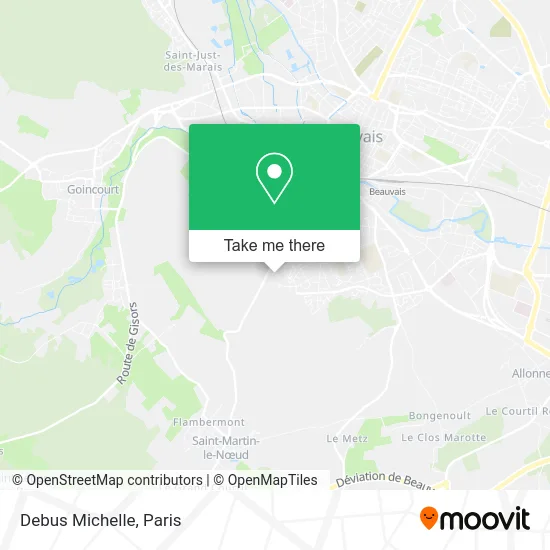
See Debus Michelle, Beauvais, on the map
Public Transit to Debus Michelle in Beauvais
Wondering how to get to Debus Michelle in Beauvais? Moovit helps you find the best way to get to Debus Michelle with step-by-step directions from the nearest public transit station.
Moovit provides free maps and live directions to help you navigate through your city. View schedules, routes, timetables, and find out how long does it take to get to Debus Michelle in real time.
Looking for the nearest stop or station to Debus Michelle? Check out this list of stops closest to your destination: Métiers; Briqueterie; Collège Ch. Fauqueux.
Bus: C1, C2, 522.
Want to see if there’s another route that gets you there at an earlier time? Moovit helps you find alternative routes or times. Get directions from and directions to Debus Michelle easily from the Moovit App or Website.
We make riding to Debus Michelle easy, which is why over 1.5 million users, including users in Beauvais, trust Moovit as the best app for public transit. You don’t need to download an individual bus app or train app, Moovit is your all-in-one transit app that helps you find the best bus time or train time available.
For information on prices of train and bus, costs and ride fares to Debus Michelle, please check the Moovit app.
Use the app to navigate to popular places including to the airport, hospital, stadium, grocery store, mall, coffee shop, school, college, and university.
Debus Michelle Address: 12 Allée Jean-Paul Sartre 60000 Beauvais street in Beauvais
- Uzeze Coiffure-Afro America,
- C.F.R. Mod,
- Nasse,
- Rosay Stephane Bernard Robert,
- Adoma,
- Foyer de Travailleurs Migrants,
- Nexity,
- A la Turka,
- Entreprise Rav,
- B3a,
- Touiti Ridha,
- Association Sominou,
- Alexandrine Louvié,
- Taxi Aéroport Beauvais,
- Nath Aloe,
- Pizzeria l'Original,
- Desmares Olivier,
- Konali Construction de l'Oise,
- Beauvais Chambre 1,
- Pharmacie Musset
Places Near Debus Michelle (Beauvais)
- Atelier Des Lumieres, Paris,
- Centre Hospitalier des 15/20, Paris,
- Fondation Louis Vuitton, Paris,
- Hôpital Pitié Salpêtrière, Paris,
- 29 Rue Manin, Paris,
- Hôpital Henri Mondor, Creteil,
- Galeries Lafayette Haussmann, Paris,
- Hôpital Beaujon, Clichy,
- Hôpital Saint-Joseph, Paris,
- Hôpital Necker, Paris,
- Marché Saint-Pierre, Paris,
- Créteil Soleil, Creteil,
- Hopital Lariboisière, Paris,
- Hôpital Cochin, Paris,
- Hopital Foch, Suresnes,
- Hôpital de la Pitié-Salpêtrière, Paris,
- Galeries Lafayette, Paris,
- Institut Curie, Paris,
- Gare Routière Flixbus, Paris,
- Théâtre Mogador, Paris
How to get to popular places in Paris with public transit
Get around Beauvais by public transit!
Traveling around Beauvais has never been so easy. See step by step directions as you travel to any attraction, street or major public transit station. View bus and train schedules, arrival times, service alerts and detailed routes on a map, so you know exactly how to get to anywhere in Beauvais.
When traveling to any destination around Beauvais use Moovit's Live Directions with Get Off Notifications to know exactly where and how far to walk, how long to wait for your line, and how many stops are left. Moovit will alert you when it's time to get off — no need to constantly re-check whether yours is the next stop.
Wondering how to use public transit in Beauvais or how to pay for public transit in Beauvais? Moovit public transit app can help you navigate your way with public transit easily, and at minimum cost. It includes public transit fees, ticket prices, and costs. Looking for a map of Beauvais public transit lines? Moovit public transit app shows all public transit maps in Beauvais with all Bus, Train, Metro, Light Rail, RER, Funicular and Gondola routes and stops on an interactive map.
Paris has 7 transit type(s), including: Bus, Train, Metro, Light Rail, RER, Funicular and Gondola, operated by several transit agencies, including RATP, RER, RER Bus de remplacement, Train, Train Bus de remplacement, Tramway Bus de remplacement, TER, ADP, Magical Shuttle, Argenteuil - Boucles de Seine, Autocars Dominique, Bièvre, Brie et 2 Morin, Le Bus - C.C. du Clermontois and Cœur d’Essonne