How to get to Decar by Colectivo?
Click on the Colectivo route to see step by step directions with maps, line arrival times and updated time schedules.
From Clinica Modelo Quilmes, Quilmes
40 minFrom Estación Quilmes, Quilmes
42 minFrom Estación Quilmes [Línea Roca], Quilmes
42 minFrom Quilmes, Quilmes
40 minFrom Clínica Santa Clara, Quilmes
55 minFrom Estación Wilde [Línea Roca], Avellaneda
56 minFrom Dinamarca / Ericson, Lomas De Zamora
63 minFrom Villa Domínico, Avellaneda
62 minFrom Rafael Calzada, Almirante Brown
69 minFrom Parque Dominico, Avellaneda
56 min
Colectivo stops near Decar in Berazategui
Train station near Decar in Berazategui
- Ezpeleta, 20 min walk,VIEW
Colectivo lines to Decar in Berazategui
What are the closest stations to Decar?
The closest stations to Decar are:
- Avenida 14 Y Calle 107 is 25 meters away, 1 min walk.
- Camino General Belgrano Y Avenida 14 is 318 meters away, 5 min walk.
- Avenida Calchaquí Y Avenida 14 is 578 meters away, 8 min walk.
- Ezpeleta is 1579 meters away, 20 min walk.
Which Colectivo lines stop near Decar?
These Colectivo lines stop near Decar: 159, 98.
What’s the nearest train station to Decar in Berazategui?
The nearest train station to Decar in Berazategui is Ezpeleta. It’s a 20 min walk away.
What’s the nearest Colectivo station to Decar in Berazategui?
The nearest Colectivo station to Decar in Berazategui is Avenida 14 Y Calle 107. It’s a 1 min walk away.
What time is the first train to Decar in Berazategui?
The ROCA is the first train that goes to Decar in Berazategui. It stops nearby at 4:19 AM.
What time is the last train to Decar in Berazategui?
The ROCA is the last train that goes to Decar in Berazategui. It stops nearby at 11:01 PM.
What time is the first Colectivo to Decar in Berazategui?
The 98 is the first Colectivo that goes to Decar in Berazategui. It stops nearby at 3:15 AM.
What time is the last Colectivo to Decar in Berazategui?
The 159 is the last Colectivo that goes to Decar in Berazategui. It stops nearby at 4:32 AM.
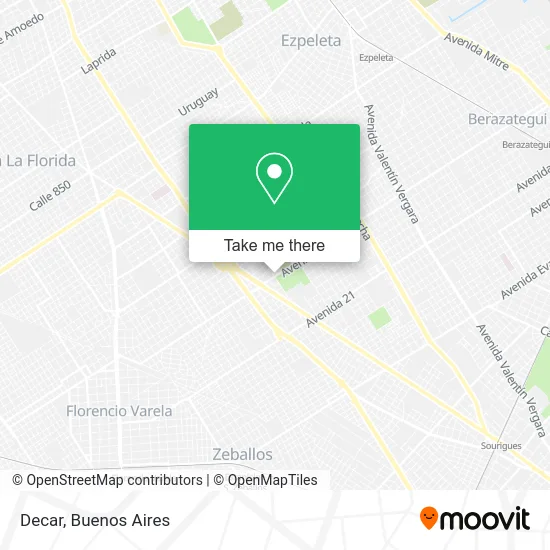
See Decar, Berazategui, on the map
Public Transit to Decar in Berazategui
Wondering how to get to Decar in Berazategui? Moovit helps you find the best way to get to Decar with step-by-step directions from the nearest public transit station.
Moovit provides free maps and live directions to help you navigate through your city. View schedules, routes, timetables, and find out how long does it take to get to Decar in real time.
Looking for the nearest stop or station to Decar? Check out this list of stops closest to your destination: Avenida 14 Y Calle 107; Camino General Belgrano Y Avenida 14; Avenida Calchaquí Y Avenida 14; Ezpeleta.
Colectivo: 159, 98, COMBI, 197, 324, 603, 338, 511.Train: ROCA.
Want to see if there’s another route that gets you there at an earlier time? Moovit helps you find alternative routes or times. Get directions from and directions to Decar easily from the Moovit App or Website.
We make riding to Decar easy, which is why over 1.5 million users, including users in Berazategui, trust Moovit as the best app for public transit. You don’t need to download an individual bus app or train app, Moovit is your all-in-one transit app that helps you find the best bus time or train time available.
For information on prices of Colectivo and train, costs and ride fares to Decar, please check the Moovit app.
Use the app to navigate to popular places including to the airport, hospital, stadium, grocery store, mall, coffee shop, school, college, and university.
Decar Address: Avenida Rigoleau street in Berazategui
- Americanos en El Complejo Parque Textil,
- Piletas Textil Berazategui,
- El Parque,
- Bera Show,
- Banco Credicoop,
- Moqsa,
- La Posada de los Abuelos,
- Aot Breazategui,
- Feria San Juan Bautista (Feria Senzabello),
- Terminal MOQSA,
- Shell,
- Piletas Varela,
- Espinosa Walter Oscar,
- Barrio Dorado II,
- hierros Navarro,
- Parque Recreativo Manuel Ricardo Pedreira,
- Menudencias Wenger,
- Cementerio Israelita De Berazategui,
- Fedan,
- Camino General Belgrano km 34
Places Near Decar (Berazategui)
- Parque de la Ciudad, Distrito Federal,
- Buenos Aires, Distrito Federal,
- Jardín Japonés, Distrito Federal,
- Aeroparque Jorge Newbery,
- Estadio Monumental (River Plate), Distrito Federal,
- Flores, Distrito Federal,
- Tecnópolis, Vicente López,
- Movistar Arena, Distrito Federal,
- Once, Distrito Federal,
- CABA, Distrito Federal,
- La Plata, La Plata,
- Unicenter Shopping, San Isidro,
- Barrio Chino, Distrito Federal,
- Hospital Santa Lucia, Distrito Federal,
- La Plata, La Plata,
- Dot Baires Shopping, Vicente López,
- Facultad de Odontología (UBA), Distrito Federal,
- Abasto Shopping, Distrito Federal,
- Aeropuerto Ezeiza, Distrito Federal,
- Avellaneda, Avellaneda
How to get to popular places in Buenos Aires with public transit
Get around Berazategui by public transit!
Traveling around Berazategui has never been so easy. See step by step directions as you travel to any attraction, street or major public transit station. View bus and train schedules, arrival times, service alerts and detailed routes on a map, so you know exactly how to get to anywhere in Berazategui.
When traveling to any destination around Berazategui use Moovit's Live Directions with Get Off Notifications to know exactly where and how far to walk, how long to wait for your line, and how many stops are left. Moovit will alert you when it's time to get off — no need to constantly re-check whether yours is the next stop.
Wondering how to use public transit in Berazategui or how to pay for public transit in Berazategui? Moovit public transit app can help you navigate your way with public transit easily, and at minimum cost. It includes public transit fees, ticket prices, and costs. Looking for a map of Berazategui public transit lines? Moovit public transit app shows all public transit maps in Berazategui with all Colectivo, Train, Subte, Light Rail and Ferry routes and stops on an interactive map.
Buenos Aires has 5 transit type(s), including: Colectivo, Train, Subte, Light Rail and Ferry, operated by several transit agencies, including Municipalidad Carmen de Areco, Trenes Argentinos, Ferrovías, Metrovías, Subte de Buenos Aires, Doscientos Ocho Transporte Automotor S.A., Empresa del Oeste, Empresa de Transportes Tratado del PIlar S.R.L., Transportes Veintidos de Septiembre, Sargento Cabral, Transportes Sesenta y Ocho, Transportes Quirno Costa, Transportes Santa Fe, Transportes Automotores Riachuelo and Transportes Atlantida