Dei Capasso stop - Sunday schedule
| Line | Direction | Time |
|---|---|---|
| N8 | Dei Capasso | 3:04 AM |
| N8 | Dei Capasso | 3:04 AM |
| N8 | Termini (Metro A-Metro B-Railway) | 3:04 AM |
| N8 | Termini (Metro A-Metro B-Railway) | 3:04 AM |
| N8 | Dei Capasso | 3:23 AM |
| N8 | Dei Capasso | 3:23 AM |
| N8 | Termini (Metro A-Metro B-Railway) | 3:26 AM |
| N8 | Termini (Metro A-Metro B-Railway) | 3:26 AM |
| N8 | Dei Capasso | 3:45 AM |
| N8 | Dei Capasso | 3:45 AM |
| N8 | Termini (Metro A-Metro B-Railway) | 3:48 AM |
| N8 | Termini (Metro A-Metro B-Railway) | 3:48 AM |
| N8 | Dei Capasso | 4:07 AM |
| N8 | Dei Capasso | 4:07 AM |
| N8 | Termini (Metro A-Metro B-Railway) | 4:10 AM |
| N8 | Termini (Metro A-Metro B-Railway) | 4:10 AM |
| N8 | Dei Capasso | 4:29 AM |
| N8 | Dei Capasso | 4:29 AM |
| N8 | Termini (Metro A-Metro B-Railway) | 4:35 AM |
| N8 | Termini (Metro A-Metro B-Railway) | 4:35 AM |
| N8 | Dei Capasso | 4:49 AM |
| N8 | Dei Capasso | 4:49 AM |
| N8 | Termini (Metro A-Metro B-Railway) | 5:00 AM |
| N8 | Termini (Metro A-Metro B-Railway) | 5:00 AM |
| N8 | Dei Capasso | 5:13 AM |
Directions to Dei Capasso stop (Roma) with public transit
The following transit lines have routes that pass near Dei Capasso
 Bus: 792, 889, 98, H, N98.
- Train: FL3, FL5, R, R.
- Metro: A.
How to get to Dei Capasso stop by bus?
Click on the bus route to see step by step directions with maps, line arrival times and updated time schedules.
How to get to Dei Capasso stop by train?
Click on the train route to see step by step directions with maps, line arrival times and updated time schedules.
How to get to Dei Capasso stop by metro?
Click on the metro route to see step by step directions with maps, line arrival times and updated time schedules.
Bus stops near Dei Capasso stop in Roma
- Bravetta/Dei Capasso, 3 min walk,
- Bravetta/Consolata, 3 min walk,
- Pisana/Bravetta, 8 min walk,
Metro stations near Dei Capasso station in Roma
- Valle Aurelia, 22 min walk,
Train stations near Dei Capasso station in Roma
- Valle Aurelia, 22 min walk,
- Roma Aurelia, 40 min walk,
Bus lines to Dei Capasso stop in Roma
- 98, Paola,
- N98, Mazzacurati,
- 792, Porta San Giovanni (MA),
- 808, Dei Capasso,
- 889, Val Cannuta/Conforti,
- H, Dei Capasso,
- N8, Termini (Metro A-Metro B-Railway),
- 881, Avanzini/Quartiere Incis,
- 892, Valle Aurelia,
What are the closest stations to Dei Capasso?
The closest stations to Dei Capasso are:
- Bravetta/Dei Capasso stop is 180 meters away, 3 min walk.
- Bravetta/Consolata stop is 213 meters away, 3 min walk.
- Pisana/Bravetta stop is 580 meters away, 8 min walk.
- Valle Aurelia station is 1730 meters away, 22 min walk.
- Roma Aurelia station is 3164 meters away, 40 min walk.
Which bus lines stop near Dei Capasso?
These bus lines stop near Dei Capasso: 792, 889, 98, H.
Which train lines stop near Dei Capasso?
These train lines stop near Dei Capasso: FL3, FL5.
Which metro line stops near Dei Capasso?
A (Battistini)
What’s the nearest metro station to Dei Capasso in Roma?
The nearest metro station to Dei Capasso in Roma is Valle Aurelia. It’s a 22 min walk away.
What’s the nearest train station to Dei Capasso in Roma?
The nearest train station to Dei Capasso in Roma is Valle Aurelia. It’s a 22 min walk away.
What’s the nearest bus station to Dei Capasso in Roma?
The nearest bus stations to Dei Capasso in Roma are Bravetta/Dei Capasso and Bravetta/Consolata. The closest one is a 3 min walk away.
What time is the first metro to Dei Capasso in Roma?
The A is the first metro that goes to Dei Capasso in Roma. It stops nearby at 5:32 AM.
What time is the last metro to Dei Capasso in Roma?
The A is the last metro that goes to Dei Capasso in Roma. It stops nearby at 12:08 AM.
What time is the first train to Dei Capasso in Roma?
The FL5 is the first train that goes to Dei Capasso in Roma. It stops nearby at 5:18 AM.
What time is the last train to Dei Capasso in Roma?
The FL5 is the last train that goes to Dei Capasso in Roma. It stops nearby at 11:53 PM.
What time is the first bus to Dei Capasso in Roma?
The N98 is the first bus that goes to Dei Capasso in Roma. It stops nearby at 3:01 AM.
What time is the last bus to Dei Capasso in Roma?
The N8 is the last bus that goes to Dei Capasso in Roma. It stops nearby at 3:22 AM.
Dei Capasso station
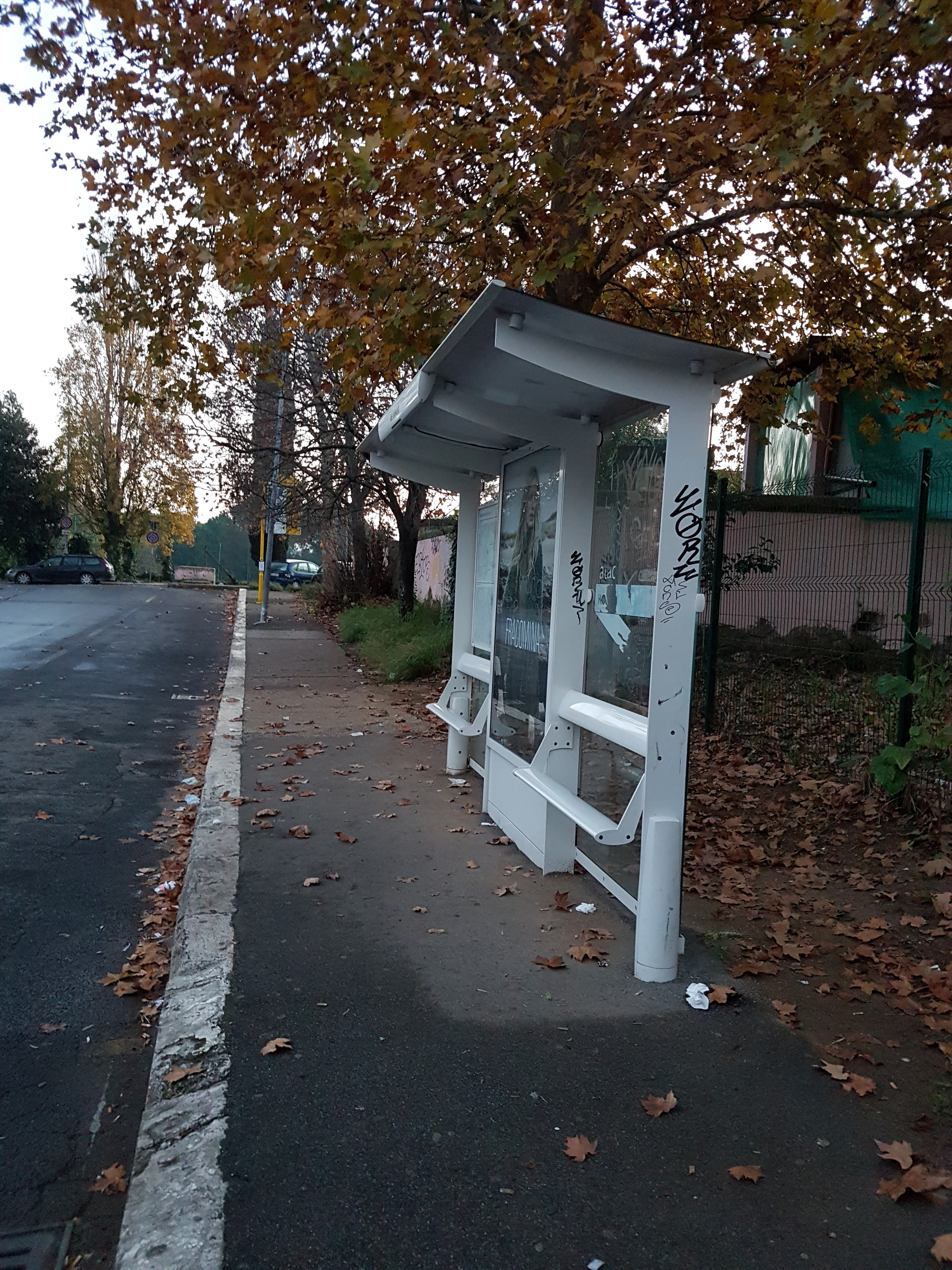 Taken by Maria P.
See Dei Capasso stop, Roma, on the map
Public transit to Dei Capasso stop (ID: 79478) in Roma
Looking for directions to Dei Capasso in Roma, Italy?
Download the Moovit App to find the current schedule and step-by-step directions for Bus, Metro or Train routes that pass through Dei Capasso.
Looking for the nearest stops closest to Dei Capasso ? Check out this list of closest stops to your destination: Bravetta/Dei Capasso; Bravetta/Consolata; Pisana/Bravetta; Valle Aurelia; Roma Aurelia.
Bus: 792, 889, 98, H, N98, 808, N8, 881, 892.Train: FL3, FL5, R, R.Metro: A.
We make riding on public transit to Dei Capasso easy, which is why over 1.7 billion users, including users in Roma trust Moovit as the best app for public transit.
Use the app to navigate to popular places including to the airport, hospital, stadium, grocery store, mall, coffee shop, school, college, and university.
Dei Capasso stop’s code is 79478
The first line to this stop is N8, at 3:04 AM, and the last line is N8 at 2:46 AM.
Via dei Capasso, Roma, Italy
This stop serves Tuscia and ATAC’s lines
Popular routes from Dei Capasso stop, Roma
- Bravetta/Dei Capasso,
- Bravetta/Consolata,
- Pisana/Bravetta
Bus stops near Dei Capasso stop
- Valle Aurelia
Metro station near Dei Capasso station
- Valle Aurelia,
- Roma Aurelia
Train stations near Dei Capasso station
- Torrenova,
- Emporio,
- Prenestina/GRA,
- Colli Portuensi/Fermi C.,
- Monte Sacro,
- Arcinazzo | Highlands,
- Capena | Del Grillo Crossing,
- XX September/Piave,
- Ventotene,
- Petrella - Casali Antonetti,
- Prenestina/Atac Workshops,
- Policlinico/Tor Vergata Hospital,
- Vicovaro | Tiburtina Road Testaccio Road,
- Grottarossa/Istituto Asisium,
- Castrocielo | Casilina Street Leuciana Street,
- Del Sassone Street,
- Clodio,
- Ostiense/Garbatella (Metro B),
- Tor Di Valle,
- Parioli/Acqua Acetosa
Popular public transit stations in Roma
Get around Roma by public transit!
Traveling around Roma has never been so easy. See step by step directions as you travel to any attraction, street or major public transit station. View bus and train schedules, arrival times, service alerts and detailed routes on a map, so you know exactly how to get to anywhere in Roma.
When traveling to any destination around Roma use Moovit's Live Directions with Get Off Notifications to know exactly where and how far to walk, how long to wait for your line, and how many stops are left. Moovit will alert you when it's time to get off — no need to constantly re-check whether yours is the next stop.
Wondering how to use public transit in Roma or how to pay for public transit in Roma? Moovit public transit app can help you navigate your way with public transit easily, and at minimum cost. It includes public transit fees, ticket prices, and costs. Looking for a map of Roma public transit lines? Moovit public transit app shows all public transit maps in Roma with all Bus, Train, Metro, Light Rail, Ferry, Funicular and Gondola routes and stops on an interactive map.
Rome and Lazio has 7 transit type(s), including: Bus, Train, Metro, Light Rail, Ferry, Funicular and Gondola, operated by several transit agencies, including ATAC, Cotral, Trenitalia, Troiani Transportation Services, BIS, ATR Mobility, Tuscia, Shuttle, Seatour, Troiani Bus Lines, CSC Mobility, Terravision, ATRAL, Tambus and Sitbus