Del Portillo/Vallerano stop - Friday schedule
| Line | Direction | Time |
|---|---|---|
| 72 | Laurentina (Metro B) | 5:38 AM |
| 72 | Laurentina (Metro B) | 5:56 AM |
| 72 | Laurentina (Metro B) | 6:14 AM |
| 72 | Laurentina (Metro B) | 6:32 AM |
| 72 | Laurentina (Metro B) | 6:50 AM |
| 72 | Laurentina (Metro B) | 7:08 AM |
| 731 | Eroi Di Rodi/Console | 7:20 AM |
| 72 | Laurentina (Metro B) | 7:32 AM |
| 72 | Laurentina (Metro B) | 7:52 AM |
| 731 | Eroi Di Rodi/Console | 8:06 AM |
| 72 | Laurentina (Metro B) | 8:12 AM |
| 72 | Laurentina (Metro B) | 8:31 AM |
| 72 | Laurentina (Metro B) | 8:50 AM |
| 731 | Eroi Di Rodi/Console | 8:51 AM |
| 72 | Laurentina (Metro B) | 9:08 AM |
| 72 | Laurentina (Metro B) | 9:26 AM |
| 731 | Eroi Di Rodi/Console | 9:36 AM |
| 72 | Laurentina (Metro B) | 9:47 AM |
| 72 | Laurentina (Metro B) | 10:08 AM |
| 731 | Eroi Di Rodi/Console | 10:20 AM |
| C13 | Lido Station Square | 10:28 AM |
| 72 | Laurentina (Metro B) | 10:29 AM |
| 72 | Laurentina (Metro B) | 10:51 AM |
| 731 | Eroi Di Rodi/Console | 11:05 AM |
| 72 | Laurentina (Metro B) | 11:12 AM |
Directions to Del Portillo/Vallerano stop (Roma) with public transit
The following transit lines have routes that pass near Del Portillo/Vallerano
 Bus: 72, 731, C13, 071, C11.
How to get to Del Portillo/Vallerano stop by bus?
Click on the bus route to see step by step directions with maps, line arrival times and updated time schedules.
Bus stops near Del Portillo/Vallerano stop in Roma
- Del Portillo/Vallerano, 1 min walk,
- Vallerano/Chiarini, 7 min walk,
- Laurentina/Trigoria, 24 min walk,
Bus lines to Del Portillo/Vallerano stop in Roma
- C13, Lido Station Square,
- 72, Guglielmo Guasta,
- 731, Dino Viola,
- 071, Brunetti/Castel Di Leva,
- C11, Cinecitta (Ma),
- 73, Guglielmo Guasta,
- 073, Strampelli,
- C8, Laurentino Cemetery,
What are the closest stations to Del Portillo/Vallerano?
The closest stations to Del Portillo/Vallerano are:
- Del Portillo/Vallerano stop is 19 meters away, 1 min walk.
- Vallerano/Chiarini stop is 520 meters away, 7 min walk.
- Laurentina/Trigoria stop is 1844 meters away, 24 min walk.
Which bus lines stop near Del Portillo/Vallerano?
These bus lines stop near Del Portillo/Vallerano: 72, 731, C13.
What’s the nearest bus station to Del Portillo/Vallerano in Roma?
The nearest bus station to Del Portillo/Vallerano in Roma is Del Portillo/Vallerano. It’s a 1 min walk away.
What time is the first bus to Del Portillo/Vallerano in Roma?
The 073 is the first bus that goes to Del Portillo/Vallerano in Roma. It stops nearby at 4:50 AM.
What time is the last bus to Del Portillo/Vallerano in Roma?
The 071 is the last bus that goes to Del Portillo/Vallerano in Roma. It stops nearby at 12:37 AM.
Del Portillo/Vallerano station
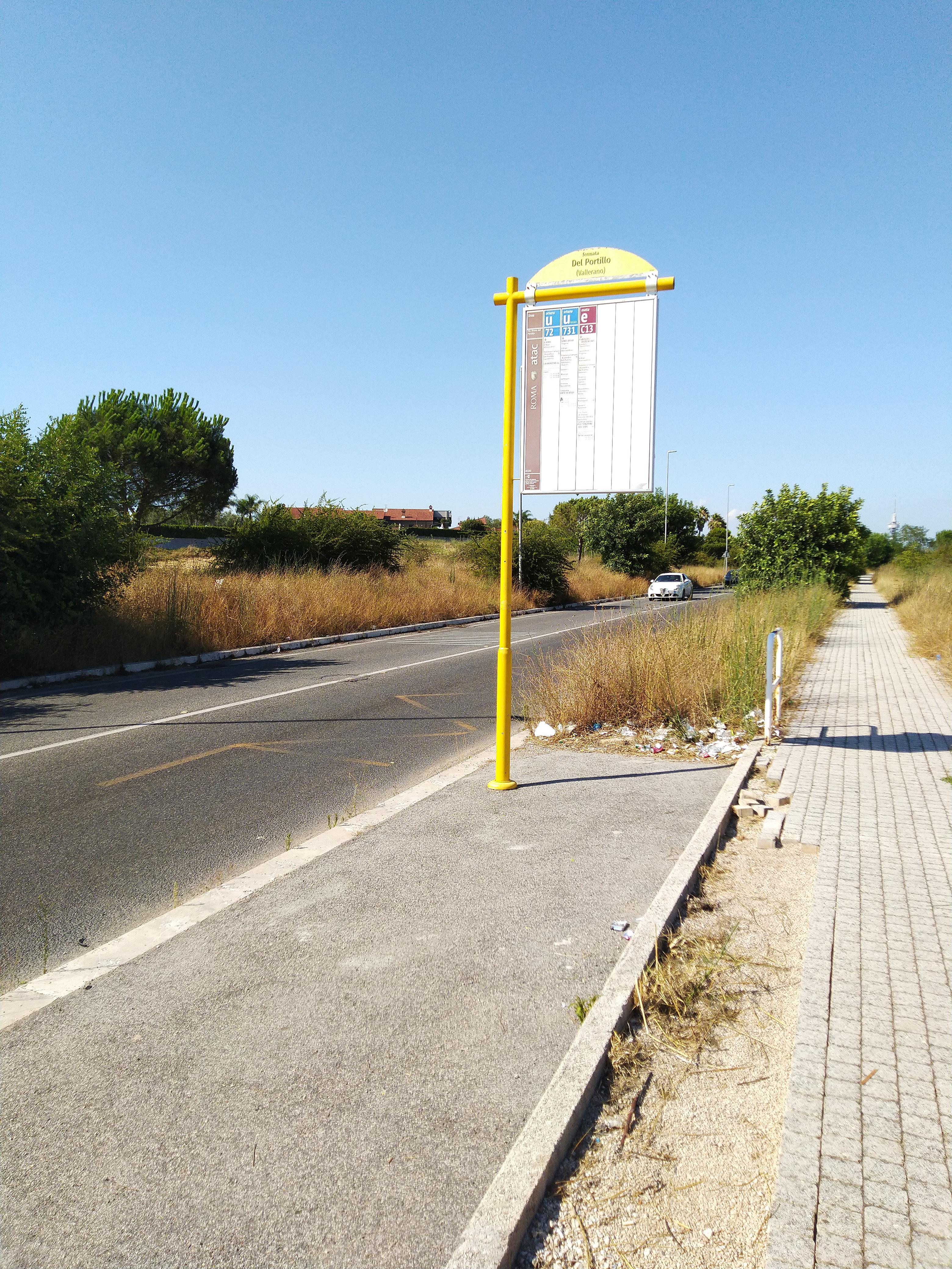 Taken by Francesco D.
See Del Portillo/Vallerano stop, Roma, on the map
Public transit to Del Portillo/Vallerano stop (ID: 82202) in Roma
Looking for directions to Del Portillo/Vallerano in Roma, Italy?
Download the Moovit App to find the current schedule and step-by-step directions for Bus, Metro or Train routes that pass through Del Portillo/Vallerano.
Looking for the nearest stops closest to Del Portillo/Vallerano ? Check out this list of closest stops to your destination: Del Portillo/Vallerano; Vallerano/Chiarini; Laurentina/Trigoria.
Bus: 72, 731, C13, 071, C11, 73, 073, C8.
We make riding on public transit to Del Portillo/Vallerano easy, which is why over 1.7 billion users, including users in Roma trust Moovit as the best app for public transit.
Use the app to navigate to popular places including to the airport, hospital, stadium, grocery store, mall, coffee shop, school, college, and university.
Del Portillo/Vallerano stop’s code is 82202
The first line to this stop is 72, at 5:38 AM, and the last line is 72 at 12:08 AM.
This stop serves ATAC’s lines
- Del Portillo/Vallerano,
- Vallerano/Chiarini,
- Laurentina/Trigoria
Bus stops near Del Portillo/Vallerano stop
- Forano | Sports Field,
- Lunghezza,
- Isole Curzolane/Capraia,
- Aldrovandi,
- Orte,
- Largo Trionfale,
- Policlinico/Tor Vergata Hospital,
- Terracina - Migliara 58 Macchia Road 1,
- Lakes Street,
- Fortifiocca/Denina,
- Detention Center,
- Alatri Hospital,
- Sutri | Cassia Street (Km 47),
- XXII Street,
- Casilina/Gallarate,
- Biopark/Rossini,
- San Giovanni,
- Torre Angela,
- Rocca Priora | Tuscolana Street Laghi Street,
- Montebello
Popular public transit stations in Roma
Get around Roma by public transit!
Traveling around Roma has never been so easy. See step by step directions as you travel to any attraction, street or major public transit station. View bus and train schedules, arrival times, service alerts and detailed routes on a map, so you know exactly how to get to anywhere in Roma.
When traveling to any destination around Roma use Moovit's Live Directions with Get Off Notifications to know exactly where and how far to walk, how long to wait for your line, and how many stops are left. Moovit will alert you when it's time to get off — no need to constantly re-check whether yours is the next stop.
Wondering how to use public transit in Roma or how to pay for public transit in Roma? Moovit public transit app can help you navigate your way with public transit easily, and at minimum cost. It includes public transit fees, ticket prices, and costs. Looking for a map of Roma public transit lines? Moovit public transit app shows all public transit maps in Roma with all Bus, Train, Metro, Light Rail, Ferry, Funicular and Gondola routes and stops on an interactive map.
Rome and Lazio has 7 transit type(s), including: Bus, Train, Metro, Light Rail, Ferry, Funicular and Gondola, operated by several transit agencies, including ATAC, Cotral, Trenitalia, Troiani Transportation Services, BIS, ATR Mobility, Tuscia, Shuttle, Seatour, Troiani Bus Lines, CSC Mobility, Terravision, ATRAL, Tambus and Sitbus