How to get to Deljay Designs by bus?
Click on the bus route to see step by step directions with maps, line arrival times and updated time schedules.
From St. Joseph's Auxiliary Hospital, Edmonton
46 minFrom Grant MacEwan University, Edmonton
50 minFrom Kinsmen Sports Centre, Edmonton
71 minFrom ETS Ferrier Garage, Edmonton
63 minFrom 75 St/E, Edmonton
61 minFrom Jasper Place Transit Centre, Edmonton
53 minFrom The Home Depot, Edmonton
61 minFrom Potters Green, Edmonton
55 minFrom Moment Research Corp, Edmonton
72 minFrom T5T 5L5, Edmonton
61 min
Bus stops near Deljay Designs in Edmonton
Bus lines to Deljay Designs in Edmonton
What are the closest stations to Deljay Designs?
The closest stations to Deljay Designs are:
- Terwillegar Drive & Haddow Road is 175 meters away, 3 min walk.
- Terwillegar Drive & Haddow Drive is 194 meters away, 4 min walk.
- Towne Centre Boulevard & Trelle Way is 570 meters away, 8 min walk.
Which bus lines stop near Deljay Designs?
These bus lines stop near Deljay Designs: 056, 716, 718.
What’s the nearest bus station to Deljay Designs in Edmonton?
The nearest bus station to Deljay Designs in Edmonton is Terwillegar Drive & Haddow Road. It’s a 3 min walk away.
What time is the first bus to Deljay Designs in Edmonton?
The 716 is the first bus that goes to Deljay Designs in Edmonton. It stops nearby at 6:14 AM.
What time is the last bus to Deljay Designs in Edmonton?
The 716 is the last bus that goes to Deljay Designs in Edmonton. It stops nearby at 12:10 AM.
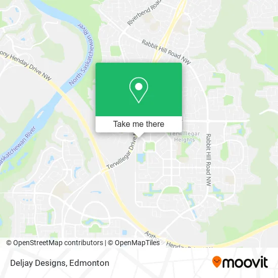
See Deljay Designs, Edmonton, on the map
Public Transit to Deljay Designs in Edmonton
Wondering how to get to Deljay Designs in Edmonton? Moovit helps you find the best way to get to Deljay Designs with step-by-step directions from the nearest public transit station.
Moovit provides free maps and live directions to help you navigate through your city. View schedules, routes, timetables, and find out how long does it take to get to Deljay Designs in real time.
Looking for the nearest stop or station to Deljay Designs? Check out this list of stops closest to your destination: Terwillegar Drive & Haddow Road; Terwillegar Drive & Haddow Drive; Towne Centre Boulevard & Trelle Way.
Bus: 056, 716, 718, 729, 717, 715.
Want to see if there’s another route that gets you there at an earlier time? Moovit helps you find alternative routes or times. Get directions from and directions to Deljay Designs easily from the Moovit App or Website.
We make riding to Deljay Designs easy, which is why over 1.5 million users, including users in Edmonton, trust Moovit as the best app for public transit. You don’t need to download an individual bus app or train app, Moovit is your all-in-one transit app that helps you find the best bus time or train time available.
For information on prices of bus and light rail, costs and ride fares to Deljay Designs, please check the Moovit app.
Use the app to navigate to popular places including to the airport, hospital, stadium, grocery store, mall, coffee shop, school, college, and university.
Deljay Designs Address: 1768 Turvey Bnd NW Edmonton, AB T6R 2W6 street in Edmonton
- Lock & Door Works,
- Berkeley's Place,
- Tomlinson Park,
- Thibault Way & Tomlinson Common,
- Construction Kronies,
- Terwillegar Towne Pond,
- Gothruvintage,
- Kalfric,
- Shopdomdeco,
- Terwillegar,
- Northwood Flowers & Gifts,
- Haddow Drive & Haswell Gate S,
- Live Wire Electric Inc,
- Jak Paving,
- LOTUS Natural Healing,
- Acupuncture Works,
- Haddow,
- Thormack Electric,
- Shamamas Cookies,
- Emerald Turf Services
Places Near Deljay Designs (Edmonton)
- MacEwan University, Edmonton,
- Royal Alexandra Hospital, Edmonton,
- Kaye Edmonton Clinic, Edmonton,
- Borden Park, Edmonton,
- University of Alberta, Edmonton,
- Canada Place Service Canada Centre, Edmonton,
- Cross Cancer Institute, Edmonton,
- West Edmonton Mall, Edmonton,
- Edmonton Valley Zoo, Edmonton,
- Fort Edmonton Park, Edmonton,
- Rogers Place, Edmonton,
- Edmonton EXPO Centre, Edmonton,
- Alberta Legislature Building, Edmonton,
- Northgate Centre, Edmonton,
- Edmonton VIA Rail Station, Edmonton,
- Whyte Avenue, Edmonton,
- Edmonton Commonwealth Stadium, Edmonton,
- Grey Nuns Community Hospital, Edmonton,
- Kingsway Mall, Edmonton,
- Londonderry Mall, Edmonton
How to get to popular places in Edmonton with public transit
Get around Edmonton by public transit!
Traveling around Edmonton has never been so easy. See step by step directions as you travel to any attraction, street or major public transit station. View bus and train schedules, arrival times, service alerts and detailed routes on a map, so you know exactly how to get to anywhere in Edmonton.
When traveling to any destination around Edmonton use Moovit's Live Directions with Get Off Notifications to know exactly where and how far to walk, how long to wait for your line, and how many stops are left. Moovit will alert you when it's time to get off — no need to constantly re-check whether yours is the next stop.
Wondering how to use public transit in Edmonton or how to pay for public transit in Edmonton? Moovit public transit app can help you navigate your way with public transit easily, and at minimum cost. It includes public transit fees, ticket prices, and costs. Looking for a map of Edmonton public transit lines? Moovit public transit app shows all public transit maps in Edmonton with all Bus and Light Rail routes and stops on an interactive map.
Edmonton has 2 transit type(s), including: Bus and Light Rail, operated by several transit agencies, including ETS LRT, ETS, Strathcona County Transit, St. Albert Transit, Spruce Grove Transit, Fort Saskatchewan Transit, Beaumont Transit and Leduc Transit