Directions to Deloitte (Baltimore County) with public transportation
The following transit lines have routes that pass near Deloitte
 Bus: 31, CITYLINK BLUE, 37, 40, 79.
How to get to Deloitte by bus?
Click on the bus route to see step by step directions with maps, line arrival times and updated time schedules.
From Western High School, Baltimore
57 minFrom The Maryland Zoo In Baltimore, Baltimore
48 minFrom Baltimore Polytechnic Institute, Baltimore
56 minFrom Pimlico Race Course, Baltimore
49 minFrom Mva, Baltimore
31 minFrom Baltimore Poly Tech High School, Baltimore
58 minFrom Sinai Hospital, Baltimore
39 minFrom Maryland, Baltimore
46 minFrom Walmart, Baltimore County
70 minFrom Walmart Supercenter, Baltimore County
71 min
Bus stops near Deloitte in Baltimore County
Bus lines to Deloitte in Baltimore County
What are the closest stations to Deloitte?
The closest stations to Deloitte are:
- Security Blvd & Lord Baltimore Dr FS Wb is 283 yards away, 4 min walk.
- Security Blvd & Belmont Ave Wb is 300 yards away, 4 min walk.
- Security Blvd & Kennicott Rd Wb is 627 yards away, 8 min walk.
Which bus lines stop near Deloitte?
These bus lines stop near Deloitte: 31, CITYLINK BLUE.
What’s the nearest bus station to Deloitte in Baltimore County?
The nearest bus stations to Deloitte in Baltimore County are Security Blvd & Lord Baltimore Dr FS Wb and Security Blvd & Belmont Ave Wb. The closest one is a 4 min walk away.
What time is the first bus to Deloitte in Baltimore County?
The 31 is the first bus that goes to Deloitte in Baltimore County. It stops nearby at 4:02 AM.
What time is the last bus to Deloitte in Baltimore County?
The 78 is the last bus that goes to Deloitte in Baltimore County. It stops nearby at 2:36 AM.
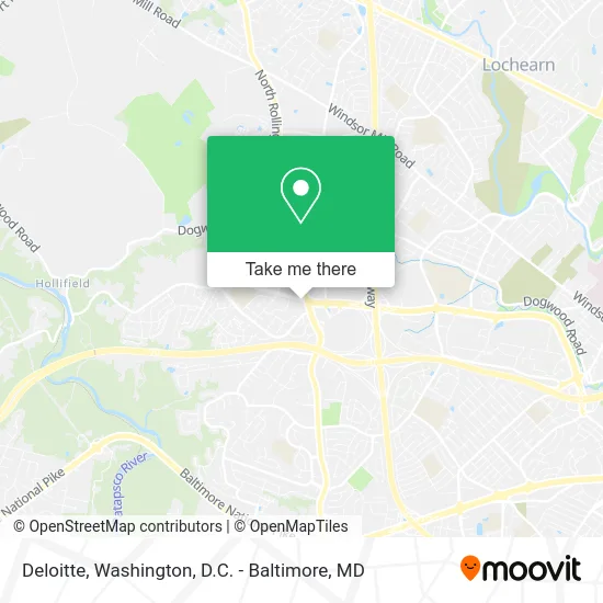
See Deloitte, Baltimore County, on the map
Public Transit to Deloitte in Baltimore County
Wondering how to get to Deloitte in Baltimore County? Moovit helps you find the best way to get to Deloitte with step-by-step directions from the nearest public transit station.
Moovit provides free maps and live directions to help you navigate through your city. View schedules, routes, timetables, and find out how long does it take to get to Deloitte in real time.
Looking for the nearest stop or station to Deloitte? Check out this list of stops closest to your destination: Security Blvd & Lord Baltimore Dr FS Wb; Security Blvd & Belmont Ave Wb; Security Blvd & Kennicott Rd Wb.
Bus: 31, CITYLINK BLUE, 37, 40, 79, 78.
Want to see if there’s another route that gets you there at an earlier time? Moovit helps you find alternative routes or times. Get directions from and directions to Deloitte easily from the Moovit App or Website.
We make riding to Deloitte easy, which is why over 1.5 million users, including users in Baltimore County, trust Moovit as the best app for public transit. You don’t need to download an individual bus app or train app, Moovit is your all-in-one transit app that helps you find the best bus time or train time available.
For information on prices of bus, costs and ride fares to Deloitte, please check the Moovit app.
Use the app to navigate to popular places including to the airport, hospital, stadium, grocery store, mall, coffee shop, school, college, and university.
Deloitte Address: 7111 Security Blvd Windsor Mill, MD 21244 street in Baltimore County
- Thunderyard Liberty,
- Truist,
- Woodlawn Medical Center,
- Shirley Lee,
- Adegboyega Oyemade, MD,
- Man O Salwa,
- Fine Southern - Style Cuisine,
- Remedy Baltimore,
- Robert Winnard DDS,
- Wings Things 'N More,
- Windsor Mill City Locksmith,
- BB&T,
- Panera Bread,
- Security Blvd & Rolling Rd,
- First Commonwealth Bank,
- Tonnessen David W,
- Chadwick Shopping Center,
- Club de Cycle,
- Las Vegas Cafe,
- Ledo Pizza Baltimore, MD - Security Blvd
Places Near Deloitte (Baltimore County)
- Pennsylvania Ave NW (3rd st and pennsylvania), Washington,
- M&T Bank Stadium, Baltimore,
- Washington DC VA Medical Center, Washington,
- Washington National Cathedral, Washington,
- Camden Yards, Baltimore,
- Warner Theatre, Washington,
- National Museum of African American History and Culture, Washington,
- Capital One Arena, Washington,
- Georgetown, Washington,
- PG Mall, Prince George's County,
- Amazon Hq2, Arlington County,
- National Zoo, Washington,
- Sibley Memorial Hospital, Washington,
- Marriott Marquis Washington, DC, Washington,
- National Mall, Washington,
- Museum Of The Bible, Washington,
- The Anthem, Washington,
- Westfield Montgomery Mall, Montgomery County,
- Rock Creek Tennis Center, Washington,
- Basilica of the National Shrine, Washington
How to get to popular places in Washington, D.C. - Baltimore, MD with public transit
Get around Baltimore County by public transit!
Traveling around Baltimore County has never been so easy. See step by step directions as you travel to any attraction, street or major public transit station. View bus and train schedules, arrival times, service alerts and detailed routes on a map, so you know exactly how to get to anywhere in Baltimore County.
When traveling to any destination around Baltimore County use Moovit's Live Directions with Get Off Notifications to know exactly where and how far to walk, how long to wait for your line, and how many stops are left. Moovit will alert you when it's time to get off — no need to constantly re-check whether yours is the next stop.
Wondering how to use public transit in Baltimore County or how to pay for public transit in Baltimore County? Moovit public transit app can help you navigate your way with public transit easily, and at minimum cost. It includes public transit fees, ticket prices, and costs. Looking for a map of Baltimore County public transit lines? Moovit public transit app shows all public transit maps in Baltimore County with all Bus, Train, Metro, Light Rail and Ferry routes and stops on an interactive map.
Washington, D.C. - Baltimore, MD has 5 transit type(s), including: Bus, Train, Metro, Light Rail and Ferry, operated by several transit agencies, including WMATA, Montgomery County Ride On, Fairfax Connector, TheBus, PRTC, DASH - Alexandria, Arlington Transit (ART), RTA of Central Maryland, MDOT MTA, MDOT MTA Light RailLink, MDOT MTA Commuter Bus, MDOT MTA Local Bus, FXBGO!, Virginia Railway Express (VRE) and MARC