How to get to Dish Network by bus?
Click on the bus route to see step by step directions with maps, line arrival times and updated time schedules.
From Dacosta School of Real Estate, Villas
23 minFrom Lee County Tax Collectors Office/ DMV, North Fort Myers
47 minFrom Downtown Ft Myers, Fort Myers
26 minFrom Presto! ATM at Publix Super Market, Cape Coral
33 minFrom Amanda M Bradbury Pa - Lee Physician Group, Cape Coral
33 minFrom Sachs Harris A MD FCCP, Cape Coral
55 minFrom North Fort Myers Library, North Fort Myers
65 minFrom Dr Bala P Karan MD, Cape Coral
86 minFrom Associates in Digestive Health, Cape Coral
48 min
Bus stops near Dish Network in Fort Myers
Bus lines to Dish Network in Fort Myers
What are the closest stations to Dish Network?
The closest stations to Dish Network are:
- Cleveland Ave @ Colonial Blvd is 149 yards away, 2 min walk.
- Edison Mall Dr @ Colonial Blvd is 428 yards away, 6 min walk.
- Edison Mall Transfer Ctr is 496 yards away, 7 min walk.
Which bus lines stop near Dish Network?
These bus lines stop near Dish Network: 120, 140.
What’s the nearest bus station to Dish Network in Fort Myers?
The nearest bus station to Dish Network in Fort Myers is Cleveland Ave @ Colonial Blvd. It’s a 2 min walk away.
What time is the first bus to Dish Network in Fort Myers?
The 110 is the first bus that goes to Dish Network in Fort Myers. It stops nearby at 5:00 AM.
What time is the last bus to Dish Network in Fort Myers?
The 140 is the last bus that goes to Dish Network in Fort Myers. It stops nearby at 10:58 PM.
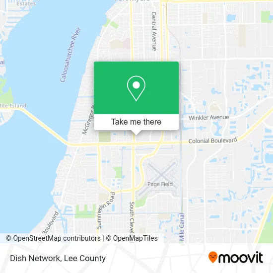
See Dish Network, Fort Myers, on the map
Public Transit to Dish Network in Fort Myers
Wondering how to get to Dish Network in Fort Myers? Moovit helps you find the best way to get to Dish Network with step-by-step directions from the nearest public transit station.
Moovit provides free maps and live directions to help you navigate through your city. View schedules, routes, timetables, and find out how long does it take to get to Dish Network in real time.
Looking for the nearest stop or station to Dish Network? Check out this list of stops closest to your destination: Cleveland Ave @ Colonial Blvd; Edison Mall Dr @ Colonial Blvd; Edison Mall Transfer Ctr.
Bus: 120, 140, 130, 110, 5, 10, 80.
Want to see if there’s another route that gets you there at an earlier time? Moovit helps you find alternative routes or times. Get directions from and directions to Dish Network easily from the Moovit App or Website.
We make riding to Dish Network easy, which is why over 1.5 million users, including users in Fort Myers, trust Moovit as the best app for public transit. You don’t need to download an individual bus app or train app, Moovit is your all-in-one transit app that helps you find the best bus time or train time available.
For information on prices of bus, costs and ride fares to Dish Network, please check the Moovit app.
Use the app to navigate to popular places including to the airport, hospital, stadium, grocery store, mall, coffee shop, school, college, and university.
Dish Network Address: 4329 Cleveland Ave Fort Myers, FL 33901 street in Fort Myers
- Asian Restaurant News,
- Quinceanera Boutique, LLC,
- Lady Luck Arcade,
- Metro by T-Mobile (Metro PCS),
- HOOTERS,
- Fast Acsw Fl,
- Viet Kitchen,
- Oye: International Supper Club at Sea Street Food & Bar,
- Liberty Tax Service,
- Frontier Networks,
- Bargain Barn Furniture & Mattress of Ft Myers,
- Gracie Jiu-Jitsu Southwest Florida,
- Lemon Hookah Lounge,
- King Scorpion Tire Center,
- State Government Juvenile Justice Department,
- Jay and Kays Organ and Piano,
- Shojin Ramen Sushi,
- La Paisana,
- Carpet Cleaning,
- Covenant and Seafood
Places Near Dish Network (Fort Myers)
- Flixbus, Fort Myers,
- Amazon Warehouse Rsw5,
- All About U Naples Escorts, Pine Ridge,
- Lee County Tax Collector, Cape Coral,
- Ft Myers Airport RSW,
- Rosa Parks Transportation Center, Fort Myers,
- Lehigh Acres, FL, Lehigh Acres,
- US-41, Fort Myers,
- U.S.-41 / Colonial Blvd. Intersection, Fort Myers,
- Edison Mall, Fort Myers,
- Bonita Bay Private Beach Club, Bonita Springs,
- I-75 & MLK (Exit 138), Fort Myers,
- Miromar Outlets, Estero,
- Walmart Supercenter, Fort Myers,
- Bonita Beach, Bonita Springs,
- Pelican Landing Beach Shuttle, Bonita Springs,
- I-75 & Colonial (Exit 136), Fort Myers,
- Bonita Springs, FL, Bonita Springs,
- Matlacha Nude Beach, Matlacha Isles-Matlacha Shores,
- Seminole Casino Hotel Immokalee
How to get to popular places in Lee County with public transit
Get around Fort Myers by public transit!
Traveling around Fort Myers has never been so easy. See step by step directions as you travel to any attraction, street or major public transit station. View bus and train schedules, arrival times, service alerts and detailed routes on a map, so you know exactly how to get to anywhere in Fort Myers.
When traveling to any destination around Fort Myers use Moovit's Live Directions with Get Off Notifications to know exactly where and how far to walk, how long to wait for your line, and how many stops are left. Moovit will alert you when it's time to get off — no need to constantly re-check whether yours is the next stop.
Wondering how to use public transit in Fort Myers or how to pay for public transit in Fort Myers? Moovit public transit app can help you navigate your way with public transit easily, and at minimum cost. It includes public transit fees, ticket prices, and costs. Looking for a map of Fort Myers public transit lines? Moovit public transit app shows all public transit maps in Fort Myers with all bus routes and stops on an interactive map.
Lee County has 1 transit type(s), including: bus, operated by several transit agencies, including LeeTran, CAT and FlixBus-us