How to get to Distribuidora Leo by bus?
Click on the bus route to see step by step directions with maps, line arrival times and updated time schedules.
From Pintores Mexicanos, Aguascalientes
51 minFrom Avenida Héroe de Nacozari 1102, Aguascalientes
56 minFrom Fraccionamiento Villa Montaña Javer, Aguascalientes
51 minFrom Templo De Los Dolores, Aguascalientes
44 minFrom Feria Nacional de San Marcos, Aguascalientes
47 minFrom Villa Montaña, Aguascalientes
51 minFrom Salida Calvillo Agu, Aguascalientes
53 minFrom Imss Clinica 7, Aguascalientes
48 minFrom San Marcos, Aguascalientes
40 minFrom cantia, Aguascalientes
43 min
Bus stops near Distribuidora Leo in Aguascalientes
Bus lines to Distribuidora Leo in Aguascalientes
What are the closest stations to Distribuidora Leo?
The closest stations to Distribuidora Leo are:
- Hernández, 125 is 25 meters away, 1 min walk.
- Hernández, 99 is 151 meters away, 3 min walk.
Which bus lines stop near Distribuidora Leo?
These bus lines stop near Distribuidora Leo: RUTA 04, RUTA 06, RUTA 11, RUTA 33, RUTA 50B.
What’s the nearest bus station to Distribuidora Leo in Aguascalientes?
The nearest bus station to Distribuidora Leo in Aguascalientes is Hernández, 125. It’s a 1 min walk away.
What time is the first bus to Distribuidora Leo in Aguascalientes?
The RUTA 04 is the first bus that goes to Distribuidora Leo in Aguascalientes. It stops nearby at 5:56 AM.
What time is the last bus to Distribuidora Leo in Aguascalientes?
The RUTA 33 is the last bus that goes to Distribuidora Leo in Aguascalientes. It stops nearby at 10:17 PM.
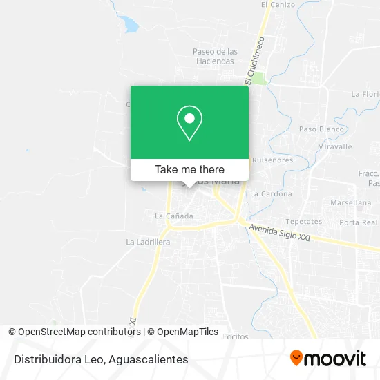
See Distribuidora Leo, Aguascalientes, on the map
Public Transit to Distribuidora Leo in Aguascalientes
Wondering how to get to Distribuidora Leo in Aguascalientes? Moovit helps you find the best way to get to Distribuidora Leo with step-by-step directions from the nearest public transit station.
Moovit provides free maps and live directions to help you navigate through your city. View schedules, routes, timetables, and find out how long does it take to get to Distribuidora Leo in real time.
Looking for the nearest stop or station to Distribuidora Leo? Check out this list of stops closest to your destination: Hernández; Hernández.
Bus: RUTA 04, RUTA 06, RUTA 11, RUTA 33, RUTA 50B, RUTA 28.
Want to see if there’s another route that gets you there at an earlier time? Moovit helps you find alternative routes or times. Get directions from and directions to Distribuidora Leo easily from the Moovit App or Website.
We make riding to Distribuidora Leo easy, which is why over 1.5 million users, including users in Aguascalientes, trust Moovit as the best app for public transit. You don’t need to download an individual bus app or train app, Moovit is your all-in-one transit app that helps you find the best bus time or train time available.
For information on prices of bus, costs and ride fares to Distribuidora Leo, please check the Moovit app.
Use the app to navigate to popular places including to the airport, hospital, stadium, grocery store, mall, coffee shop, school, college, and university.
Distribuidora Leo Address: Calle Ojo de Agua 529, Ojos de Agua, 20927 Jesús María, Aguascalientes street in Aguascalientes
- Game Adana Aguascalien,
- Solido Soluciones de Liquidez Domestica,
- Tienda de Abarrotes-Ojo de Agua,
- Taqueria Los Taqueros,
- Abarrotes-Avenida San Lorenzo,
- Venta de Tortas,
- Abarrotes Lisbeth,
- Refrescos Chuy,
- Salon Las Palmas,
- Tacos de Tripas Jessy,
- Bancoppel,
- Las Gorditas Lupita,
- Abarrotes Moreno,
- Dulces de la Cruz,
- Tienda de Abarrotes-Agua Azul,
- Carretera A los Arquitos 312,
- Cooperativa de la Escuela Primaria Federal La Buena Tierra. Turno Matutino,
- Auto Partes Usadas,
- Abarrotes Ojos de Agua,
- Jardín de Eventos Los Pirules
Places Near Distribuidora Leo (Aguascalientes)
- Nuevo Hospital Hidalgo, Aguascalientes,
- Imss Clinica 1, Aguascalientes,
- Ciudad industrial, Aguascalientes,
- Hospital Imss No. 3, Aguascalientes,
- Universidad Autónoma de Aguascalientes, Aguascalientes,
- clinica 3 uaa, Aguascalientes,
- Terminal De Combis, Aguascalientes,
- ESPACIOS, Aguascalientes,
- Jesús María, Aguascalientes,
- Parque Las Tres Centurias, Aguascalientes,
- La Isla San Marcos, Aguascalientes,
- Isla San Marcos, Aguascalientes,
- Aeropuerto de Aguascalientes S.A. de C.V., Aguascalientes,
- Blvd. Luis Donaldo Colosio, Aguascalientes,
- Centro, Aguascalientes,
- Central De Autobuses, Aguascalientes,
- Centro Comercial Altaria, Aguascalientes,
- Villasuncion, Aguascalientes,
- Villas de Nuestra Señora de la Asunción, Aguascalientes,
- Agropecuario, Aguascalientes
How to get to popular places in Aguascalientes with public transit
Get around Aguascalientes by public transit!
Traveling around Aguascalientes has never been so easy. See step by step directions as you travel to any attraction, street or major public transit station. View bus and train schedules, arrival times, service alerts and detailed routes on a map, so you know exactly how to get to anywhere in Aguascalientes.
When traveling to any destination around Aguascalientes use Moovit's Live Directions with Get Off Notifications to know exactly where and how far to walk, how long to wait for your line, and how many stops are left. Moovit will alert you when it's time to get off — no need to constantly re-check whether yours is the next stop.
Wondering how to use public transit in Aguascalientes or how to pay for public transit in Aguascalientes? Moovit public transit app can help you navigate your way with public transit easily, and at minimum cost. It includes public transit fees, ticket prices, and costs. Looking for a map of Aguascalientes public transit lines? Moovit public transit app shows all public transit maps in Aguascalientes with all bus routes and stops on an interactive map.
Aguascalientes has 1 transit type(s), including: bus, operated by several transit agencies, including Coordinación General de Movilidad